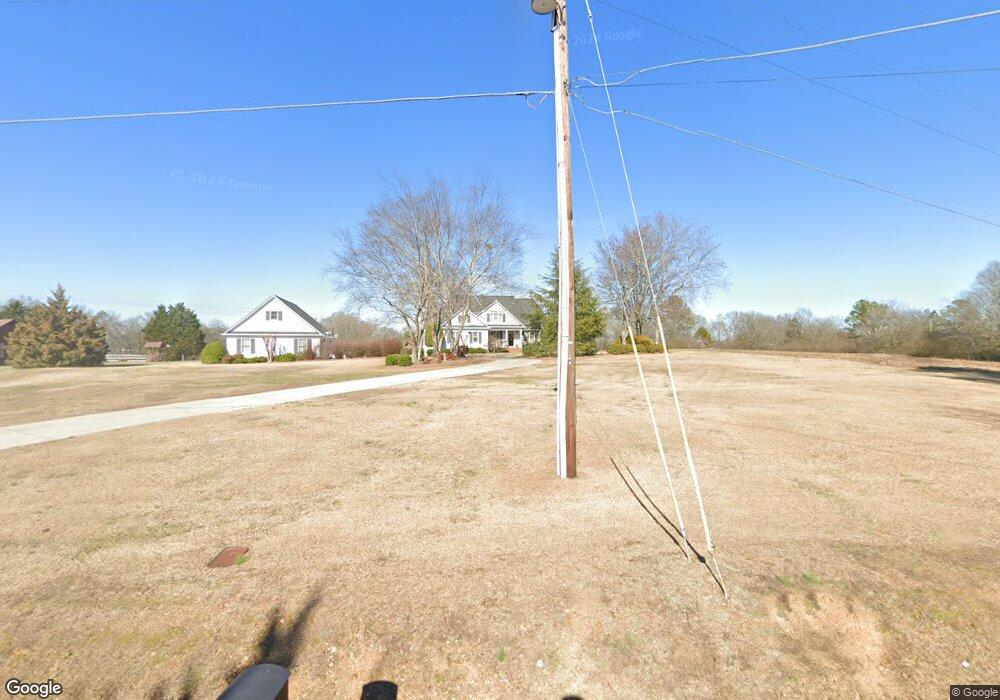
269 Brewer Rd Kingston, GA 30145
Estimated Value: $476,000 - $728,000
Studio
1
Bath
3,257
Sq Ft
$183/Sq Ft
Est. Value
About This Home
This home is located at 269 Brewer Rd, Kingston, GA 30145 and is currently estimated at $596,385, approximately $183 per square foot. 269 Brewer Rd is a home located in Floyd County with nearby schools including Model Middle School and Model High School.
Ownership History
Date
Name
Owned For
Owner Type
Purchase Details
Closed on
Jul 10, 2000
Sold by
Westmoreland Van
Bought by
Westmoreland Van and Cyndi Westmorela
Current Estimated Value
Purchase Details
Closed on
Dec 30, 1997
Sold by
Westmoreland Van and Mary Ann Westmoreland
Bought by
Westmoreland Van
Purchase Details
Closed on
May 19, 1995
Sold by
Wagner Ronny E and Wagner Cathy A
Bought by
Westmoreland Van and Mary Ann Westmor
Purchase Details
Closed on
Jul 11, 1994
Bought by
P and R
Purchase Details
Closed on
Sep 19, 1990
Sold by
Brewer Martha Jones
Bought by
Wagner Ronny E and Wagner Cathy A
Purchase Details
Closed on
Aug 25, 1987
Bought by
Brewer Martha Jones
Create a Home Valuation Report for This Property
The Home Valuation Report is an in-depth analysis detailing your home's value as well as a comparison with similar homes in the area
Home Values in the Area
Average Home Value in this Area
Purchase History
| Date | Buyer | Sale Price | Title Company |
|---|---|---|---|
| Westmoreland Van | -- | -- | |
| Westmoreland Van | -- | -- | |
| Westmoreland Van | $14,000 | -- | |
| P | -- | -- | |
| Wagner Ronny E | $15,700 | -- | |
| Brewer Martha Jones | $30,500 | -- |
Source: Public Records
Tax History
| Year | Tax Paid | Tax Assessment Tax Assessment Total Assessment is a certain percentage of the fair market value that is determined by local assessors to be the total taxable value of land and additions on the property. | Land | Improvement |
|---|---|---|---|---|
| 2025 | $5,246 | $259,346 | $17,202 | $242,144 |
| 2024 | $5,246 | $241,888 | $15,291 | $226,597 |
| 2023 | $5,259 | $205,713 | $13,901 | $191,812 |
| 2022 | $4,274 | $175,021 | $11,497 | $163,524 |
| 2021 | $3,650 | $139,050 | $10,460 | $128,590 |
| 2020 | $3,371 | $122,252 | $9,096 | $113,156 |
| 2019 | $3,257 | $118,048 | $9,096 | $108,952 |
| 2018 | $3,175 | $113,198 | $8,664 | $104,534 |
| 2017 | $3,091 | $108,177 | $8,022 | $100,155 |
| 2016 | $3,108 | $107,063 | $8,000 | $99,063 |
| 2015 | $3,044 | $107,063 | $8,000 | $99,063 |
| 2014 | $3,044 | $107,063 | $8,000 | $99,063 |
Source: Public Records
Map
Nearby Homes
- 0 Brewer Rd Unit 10712421
- 127 Branson Rd SE
- 438 Youngs Mill Rd
- 493 Morrison Camp Ground Rd NE
- 159 Ward Mountain Rd
- 20 Meadows Dr SE
- 145 Wiseman Rd
- 0 Mountain Creek Dr SE Unit 10666779
- 567 Fred Kelley Rd NE
- 0 Mcclain Rd Unit 10537234
- 34 Mountain Creek Dr SE
- 4 Trimble Way
- 0 Fred Kelly Rd NE Unit 26384103
- 0 Fred Kelly Rd NE Unit 10695121
- 0 Fred Kelly Rd NE Unit 7722297
- 11 Parkwood Dr NE
- 8 Trimble Way SE
- 0 Canard Rd SE Unit 74
- 406 Fred Kelley Rd NE
- 20 Eastdell Rd NE
Your Personal Tour Guide
Ask me questions while you tour the home.