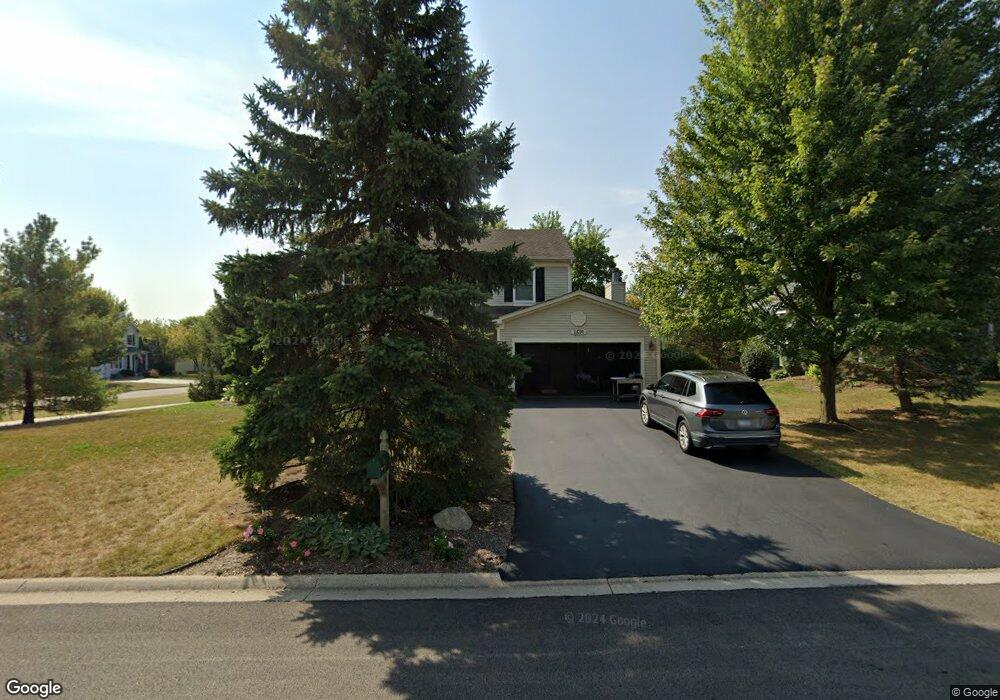
2691 Constitution Dr Lindenhurst, IL 60046
Estimated Value: $405,454 - $451,000
3
Beds
3
Baths
1,996
Sq Ft
$211/Sq Ft
Est. Value
About This Home
This home is located at 2691 Constitution Dr, Lindenhurst, IL 60046 and is currently estimated at $421,864, approximately $211 per square foot. 2691 Constitution Dr is a home located in Lake County with nearby schools including Millburn Elementary School, Millburn Middle School, and Lakes Community High School.
Ownership History
Date
Name
Owned For
Owner Type
Purchase Details
Closed on
Nov 1, 1998
Sold by
The Ryland Group Inc
Bought by
Oneil Thomas G and Oneil Elizabeth A
Current Estimated Value
Home Financials for this Owner
Home Financials are based on the most recent Mortgage that was taken out on this home.
Original Mortgage
$152,800
Interest Rate
6.96%
Create a Home Valuation Report for This Property
The Home Valuation Report is an in-depth analysis detailing your home's value as well as a comparison with similar homes in the area
Home Values in the Area
Average Home Value in this Area
Purchase History
| Date | Buyer | Sale Price | Title Company |
|---|---|---|---|
| Oneil Thomas G | $191,500 | Ticor Title |
Source: Public Records
Mortgage History
| Date | Status | Borrower | Loan Amount |
|---|---|---|---|
| Previous Owner | Oneil Thomas G | $152,800 |
Source: Public Records
Tax History
| Year | Tax Paid | Tax Assessment Tax Assessment Total Assessment is a certain percentage of the fair market value that is determined by local assessors to be the total taxable value of land and additions on the property. | Land | Improvement |
|---|---|---|---|---|
| 2024 | $10,218 | $111,879 | $19,408 | $92,471 |
| 2023 | $10,830 | $98,851 | $17,148 | $81,703 |
| 2022 | $10,830 | $86,206 | $13,016 | $73,190 |
| 2021 | $10,428 | $80,080 | $12,091 | $67,989 |
| 2020 | $10,054 | $77,515 | $11,704 | $65,811 |
| 2019 | $10,774 | $79,224 | $11,962 | $67,262 |
| 2018 | $9,684 | $76,421 | $15,667 | $60,754 |
| 2017 | $9,395 | $74,383 | $15,249 | $59,134 |
| 2016 | $10,473 | $79,302 | $16,258 | $63,044 |
| 2015 | $9,988 | $74,065 | $15,184 | $58,881 |
| 2014 | $9,911 | $67,529 | $15,253 | $52,276 |
| 2012 | $8,876 | $79,412 | $17,605 | $61,807 |
Source: Public Records
Map
Nearby Homes
- 697 Providence Ln
- 622 Oxford Ct
- 533 N Beck Rd Unit 28
- 19135 W Millburn Rd
- 1896 E Vista Terrace
- 20215 W Miller Rd
- 412 Northgate Rd Unit 27
- 394 Northgate Rd
- 2375 Kelsey Ct
- 1288 Prairie Ridge Trail
- 1245 Prairie Ridge Trail
- 1249 Prairie Ridge Trail
- 1253 Prairie Ridge Trail
- 1903 S Shore Cove
- 1261 Prairie Ridge Trail
- 1772 S Port Dr
- 1768 S Port Dr
- 1764 S Port Dr
- 1903 Hazelwood Dr
- 1873 White Lake Dr
- 2681 Constitution Dr
- 766 Concord Ct
- 2671 Constitution Dr
- 2690 Constitution Dr
- 2719 Constitution Dr
- 2684 Constitution Dr
- 773 Independence Blvd
- 2680 Constitution Dr
- 762 Concord Ct
- 765 Independence Blvd
- 2718 Constitution Dr
- 2661 Constitution Dr
- 2729 Constitution Dr
- 2674 Constitution Ct
- 2728 Constitution Dr
- 758 Concord Ct
- 2651 Constitution Dr
- 2670 Constitution Ct
- 754 Concord Ct
- 2738 Constitution Dr
Your Personal Tour Guide
Ask me questions while you tour the home.