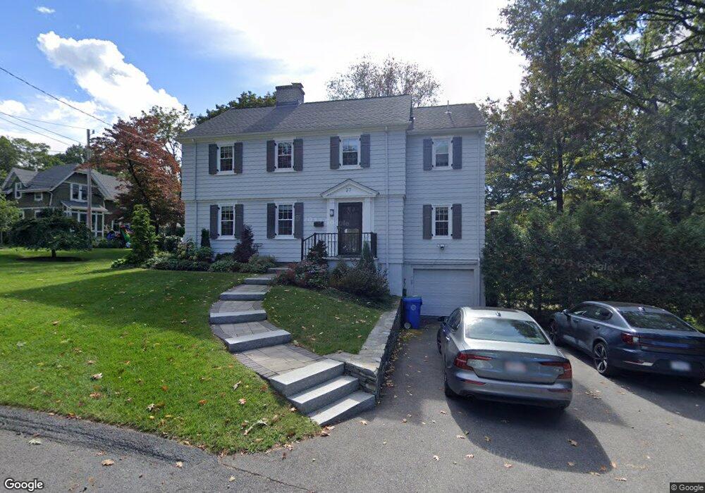
27 Aspen Ave Auburndale, MA 02466
Auburndale NeighborhoodEstimated Value: $1,396,000 - $1,512,000
3
Beds
3
Baths
2,120
Sq Ft
$685/Sq Ft
Est. Value
About This Home
This home is located at 27 Aspen Ave, Auburndale, MA 02466 and is currently estimated at $1,452,741, approximately $685 per square foot. 27 Aspen Ave is a home located in Middlesex County with nearby schools including Williams Elementary School, Charles E Brown Middle School, and Newton South High School.
Ownership History
Date
Name
Owned For
Owner Type
Purchase Details
Closed on
Jan 26, 2021
Sold by
Rosen-Shishko Susan
Bought by
Rorabaugh Philip and Rosen Susan L
Current Estimated Value
Home Financials for this Owner
Home Financials are based on the most recent Mortgage that was taken out on this home.
Original Mortgage
$501,000
Outstanding Balance
$440,009
Interest Rate
2.6%
Mortgage Type
New Conventional
Estimated Equity
$1,012,732
Purchase Details
Closed on
Feb 27, 1998
Sold by
Benway Joseph
Bought by
Holman John
Purchase Details
Closed on
Mar 17, 1995
Sold by
Mahony Virginia
Bought by
Benway Joseph
Create a Home Valuation Report for This Property
The Home Valuation Report is an in-depth analysis detailing your home's value as well as a comparison with similar homes in the area
Home Values in the Area
Average Home Value in this Area
Purchase History
| Date | Buyer | Sale Price | Title Company |
|---|---|---|---|
| Rorabaugh Philip | -- | None Available | |
| Holman John | $500,000 | -- | |
| Holman John A | $500,000 | -- | |
| Benway Joseph | $230,000 | -- | |
| Benway Joseph | $230,000 | -- |
Source: Public Records
Mortgage History
| Date | Status | Borrower | Loan Amount |
|---|---|---|---|
| Open | Rorabaugh Philip | $501,000 | |
| Previous Owner | Benway Joseph | $417,000 | |
| Previous Owner | Benway Joseph | $417,000 |
Source: Public Records
Tax History
| Year | Tax Paid | Tax Assessment Tax Assessment Total Assessment is a certain percentage of the fair market value that is determined by local assessors to be the total taxable value of land and additions on the property. | Land | Improvement |
|---|---|---|---|---|
| 2025 | $12,106 | $1,235,300 | $940,000 | $295,300 |
| 2024 | $11,705 | $1,199,300 | $912,600 | $286,700 |
| 2023 | $11,146 | $1,094,900 | $694,900 | $400,000 |
| 2022 | $10,665 | $1,013,800 | $643,400 | $370,400 |
| 2021 | $10,268 | $954,300 | $607,000 | $347,300 |
| 2020 | $9,963 | $954,300 | $607,000 | $347,300 |
| 2019 | $9,682 | $926,500 | $589,300 | $337,200 |
| 2018 | $9,314 | $860,800 | $533,700 | $327,100 |
| 2017 | $9,031 | $812,100 | $503,500 | $308,600 |
| 2016 | $8,637 | $759,000 | $470,600 | $288,400 |
| 2015 | $9,211 | $793,400 | $439,800 | $353,600 |
Source: Public Records
Map
Nearby Homes
- 194 Auburn St
- 126 Charles St (Aub)
- 283 Melrose St
- 1639 Washington St
- 2065 Commonwealth Ave Unit 2065A
- 73 Auburn St Unit 75
- 440 Wolcott St
- 2255 Commonwealth Ave Unit 2255
- 3 Ware Rd
- 447 Waban Ave
- 32 Pickwick Rd
- 0 Metacomet Rd
- 33 Metacomet Rd
- 75 Auburn St Unit 77
- 577 Grove St
- 160 Pine St Unit 11
- 43 Palmer Rd
- 1806 Beacon St
- 49 Shaw St
- 148 Dartmouth St
- 101 Hawthorne Ave
- 33 Aspen Ave
- 96 Hawthorne Ave
- 85 Hawthorne Ave
- 107 Hawthorne Ave
- 14 Aspen Ave
- 98 Hawthorne Ave
- 79 Hawthorne Ave
- 111 Hawthorne Ave
- 41 Aspen Ave
- 73 Hawthorne Ave
- 110 Hawthorne Ave
- 6 Aspen Ave
- 96 Lake Ave
- 63 Hawthorne Ave
- 50 Aspen Ave
- 55 Aspen Ave
- 78 Hawthorne Ave
- 78 Hawthorn St
- 0 Hawthorne Ave
Your Personal Tour Guide
Ask me questions while you tour the home.