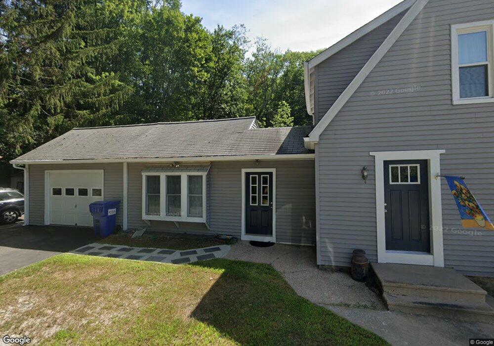
27 Branch Rd Harwinton, CT 06791
Estimated Value: $284,000 - $330,000
3
Beds
2
Baths
1,700
Sq Ft
$179/Sq Ft
Est. Value
About This Home
This home is located at 27 Branch Rd, Harwinton, CT 06791 and is currently estimated at $304,068, approximately $178 per square foot. 27 Branch Rd is a home located in Litchfield County with nearby schools including Harwinton Consolidated School, Har-Bur Middle School, and Lewis S. Mills High School.
Ownership History
Date
Name
Owned For
Owner Type
Purchase Details
Closed on
Jul 26, 1988
Sold by
Podos Brandon
Bought by
Herbert Vernon H
Current Estimated Value
Home Financials for this Owner
Home Financials are based on the most recent Mortgage that was taken out on this home.
Original Mortgage
$90,900
Interest Rate
10.49%
Mortgage Type
Purchase Money Mortgage
Create a Home Valuation Report for This Property
The Home Valuation Report is an in-depth analysis detailing your home's value as well as a comparison with similar homes in the area
Home Values in the Area
Average Home Value in this Area
Purchase History
| Date | Buyer | Sale Price | Title Company |
|---|---|---|---|
| Herbert Vernon H | $101,000 | -- |
Source: Public Records
Mortgage History
| Date | Status | Borrower | Loan Amount |
|---|---|---|---|
| Closed | Herbert Vernon H | $76,000 | |
| Closed | Herbert Vernon H | $93,000 | |
| Closed | Herbert Vernon H | $90,900 | |
| Previous Owner | Herbert Vernon H | $70,000 |
Source: Public Records
Tax History
| Year | Tax Paid | Tax Assessment Tax Assessment Total Assessment is a certain percentage of the fair market value that is determined by local assessors to be the total taxable value of land and additions on the property. | Land | Improvement |
|---|---|---|---|---|
| 2025 | $3,766 | $163,750 | $42,570 | $121,180 |
| 2024 | $3,750 | $163,750 | $42,570 | $121,180 |
| 2023 | $3,004 | $102,880 | $30,410 | $72,470 |
| 2022 | $2,932 | $102,880 | $30,410 | $72,470 |
| 2021 | $2,953 | $102,880 | $30,410 | $72,470 |
| 2020 | $2,881 | $102,880 | $30,410 | $72,470 |
| 2019 | $2,881 | $102,880 | $30,410 | $72,470 |
| 2018 | $2,810 | $100,350 | $30,270 | $70,080 |
| 2017 | $2,790 | $100,350 | $30,270 | $70,080 |
| 2016 | $2,790 | $100,350 | $30,270 | $70,080 |
| 2015 | $2,740 | $100,350 | $30,270 | $70,080 |
| 2014 | $2,699 | $100,350 | $30,270 | $70,080 |
Source: Public Records
Map
Nearby Homes
- 505 Harwinton Ave Unit 20
- 112 Linden St
- 68 Thomaston Rd
- 71 Arthur St Unit 1
- 364 Park Ave
- 14 Hannah Way
- 0 Clearview Ave Unit 24158105
- 152 Davis Rd
- 83 Birge St
- 29 Elton St
- 121 View St
- 264 S Main St
- 21 Sunrise Dr
- 185 Oak Meadow Ln
- 151 Highview Dr
- 19 Harwinton Ave
- 65 Oak Meadow Ln Unit 65
- 68 Wilson Ave Unit 105
- 116 Fairlawn Dr
- 55 Barton St
- 20 Branch Rd
- 25 Branch Rd
- 16 Branch Rd
- 15 Branch Rd
- 274 Scoville Hill Rd
- 268 Scoville Hill Rd
- 284 Scoville Hill Rd
- 288 Scoville Hill Rd
- 294 Scoville Hill Rd
- 15 Norton Passway
- 292 Scoville Hill Rd
- 76 Upper Bogue Rd
- 269 Scoville Hill Rd
- 296 Scoville Hill Rd
- 22 Norton Passway
- 279 Scoville Hill Rd
- 285 Scoville Hill Rd
- 21 Norton Passway
- 300 Scoville Hill Rd
- 000 Norton Passway
Your Personal Tour Guide
Ask me questions while you tour the home.