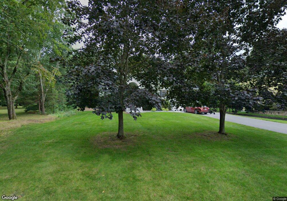
27 Bunker Ln Natick, MA 01760
Estimated Value: $1,307,729 - $1,536,000
3
Beds
4
Baths
2,742
Sq Ft
$518/Sq Ft
Est. Value
About This Home
This home is located at 27 Bunker Ln, Natick, MA 01760 and is currently estimated at $1,420,682, approximately $518 per square foot. 27 Bunker Ln is a home located in Middlesex County with nearby schools including Natick High School, Johnson Elementary School, and J F Kennedy Middle School.
Create a Home Valuation Report for This Property
The Home Valuation Report is an in-depth analysis detailing your home's value as well as a comparison with similar homes in the area
Home Values in the Area
Average Home Value in this Area
Tax History
| Year | Tax Paid | Tax Assessment Tax Assessment Total Assessment is a certain percentage of the fair market value that is determined by local assessors to be the total taxable value of land and additions on the property. | Land | Improvement |
|---|---|---|---|---|
| 2025 | $14,092 | $1,178,300 | $479,500 | $698,800 |
| 2024 | $13,598 | $1,109,100 | $451,200 | $657,900 |
| 2023 | $12,731 | $1,007,200 | $429,300 | $577,900 |
| 2022 | $12,498 | $936,900 | $385,800 | $551,100 |
| 2021 | $11,952 | $878,200 | $363,800 | $514,400 |
| 2020 | $11,726 | $861,600 | $347,200 | $514,400 |
| 2019 | $10,951 | $861,600 | $347,200 | $514,400 |
| 2018 | $10,687 | $818,900 | $330,700 | $488,200 |
| 2017 | $10,422 | $772,600 | $293,400 | $479,200 |
| 2016 | $10,140 | $747,200 | $272,400 | $474,800 |
| 2015 | $9,110 | $659,200 | $272,400 | $386,800 |
Source: Public Records
Map
Nearby Homes
- 79 Speen St
- 6 Post Oak Ln Unit 9
- 3 Post Oak Ln Unit 8
- 2 Walden Dr Unit 2
- 32 Silver Hill Ln Unit 1
- 74 Kendall Ave
- 27 Stillman St
- 47 Kendall Ave
- 7 Village Hill Ln Unit 4
- 5 Village Rock Ln Unit 22
- 5 Village Hill Ln Unit 19
- 15 Village Rock Ln Unit 2
- 14 Tournament Rd
- 21 Belmore Rd
- 22 Westview Rd
- 9 Morgan Dr Unit 304
- 11 Weld St Unit 33
- 11 Weld St Unit 37
- 11 Weld St Unit 14
- 7 Weld St Unit 50
- 25 Bunker Ln
- 26 Bunker Ln
- 23 Bunker Ln
- 17 Meadowbrook Rd
- 21 Meadowbrook Rd
- 15 Meadowbrook Rd
- 25 Meadowbrook Rd
- 14 Meadowbrook Rd
- 18 Meadowbrook Rd
- 5 England Rd
- 22 Meadowbrook Rd
- 8 England Rd
- 16 Bunker Ln
- 12 Meadowbrook Rd
- 1 Meadow Pond Ln
- 3 England Rd
- 14 Bunker Ln
- 28 Meadowbrook Rd
- 19 Bunker Ln
- 6 England Rd
Your Personal Tour Guide
Ask me questions while you tour the home.