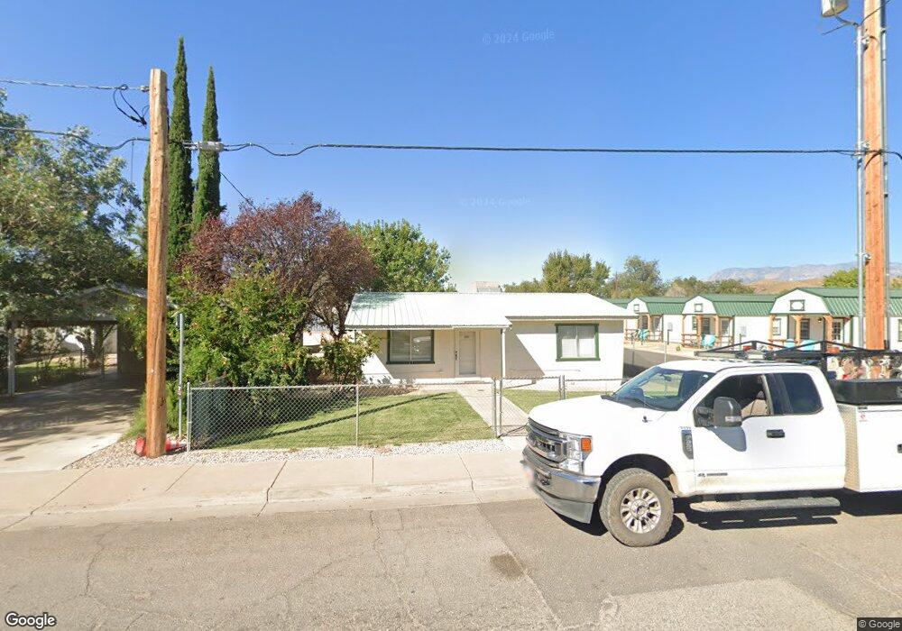
27 N 100 E Hurricane, UT 84737
Estimated Value: $350,571
2
Beds
1
Bath
1,140
Sq Ft
$308/Sq Ft
Est. Value
About This Home
This home is located at 27 N 100 E, Hurricane, UT 84737 and is currently priced at $350,571, approximately $307 per square foot. 27 N 100 E is a home located in Washington County with nearby schools including Hurricane High School, Hurricane Middle School, and Hurricane Elementary School.
Ownership History
Date
Name
Owned For
Owner Type
Purchase Details
Closed on
May 21, 2025
Sold by
Vr Properties Llc
Bought by
Holman Properties Llc
Current Estimated Value
Purchase Details
Closed on
Jul 1, 2019
Sold by
Put Investment Llc
Bought by
Vr Properties Llc
Purchase Details
Closed on
Jun 25, 2015
Sold by
Sanders Jeraldine and The Jerry Sanders Trust
Bought by
Put Investments Llc
Purchase Details
Closed on
Feb 4, 2014
Sold by
Sanders Jeraldine
Bought by
Sanders Jeraldine and The Jeraldine Sanders Trust
Purchase Details
Closed on
Jan 3, 2014
Sold by
Sanders Ronald B and Sanders Ronald Ballard
Bought by
Sanders Jeraldine
Create a Home Valuation Report for This Property
The Home Valuation Report is an in-depth analysis detailing your home's value as well as a comparison with similar homes in the area
Purchase History
| Date | Buyer | Sale Price | Title Company |
|---|---|---|---|
| Holman Properties Llc | -- | Legal Title | |
| Vr Properties Llc | -- | None Available | |
| Put Investments Llc | -- | Southern Utah Title | |
| Sanders Jeraldine | -- | Southern Utah Title | |
| Sanders Jeraldine | -- | Cedar Land Title Inc |
Source: Public Records
Tax History
| Year | Tax Paid | Tax Assessment Tax Assessment Total Assessment is a certain percentage of the fair market value that is determined by local assessors to be the total taxable value of land and additions on the property. | Land | Improvement |
|---|---|---|---|---|
| 2025 | $1,167 | $108,000 | $40,000 | $68,000 |
| 2023 | $883 | $118,500 | $32,000 | $86,500 |
| 2022 | $1,183 | $148,800 | $20,400 | $128,400 |
| 2021 | $1,031 | $105,400 | $14,900 | $90,500 |
| 2020 | $787 | $75,200 | $14,400 | $60,800 |
| 2019 | $315 | $53,000 | $12,800 | $40,200 |
| 2018 | $340 | $28,380 | $0 | $0 |
| 2017 | $324 | $27,005 | $0 | $0 |
| 2016 | $608 | $49,100 | $0 | $0 |
| 2015 | $342 | $47,600 | $0 | $0 |
| 2014 | $564 | $45,600 | $0 | $0 |
Source: Public Records
Map
Nearby Homes
- 161 N 160 E
- 143 S 100 E
- 175 N 160 E
- 120 N 240 E
- 205 N 35 W
- 166 E 300 N
- 39 E 300 S
- 0 Home of the Hurricane H Unit 26-270671
- 85 E 400 N
- 120 N 325 W
- 113 W 400 S
- 82 W Judd Ln
- 475 N State St Unit 28
- 535 S 60 E
- 306 E 500 N Unit 14
- 306 E 500 N Unit 20
- 306 E 500 N Unit 34
- 306 E 500 N Unit 16
- 481 W 100 N
- 49 E 600 N
Your Personal Tour Guide
Ask me questions while you tour the home.