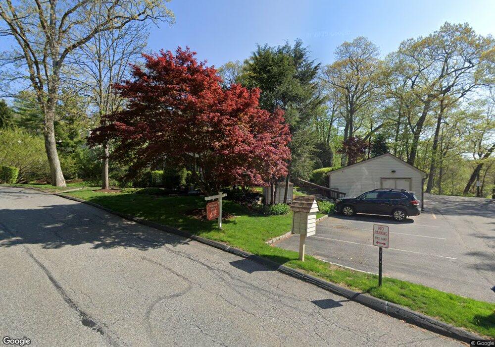
27 Pheasant Run Unit 27A Millwood, NY 10546
Estimated Value: $506,708 - $640,000
1
Bed
2
Baths
1,146
Sq Ft
$491/Sq Ft
Est. Value
About This Home
This home is located at 27 Pheasant Run Unit 27A, Millwood, NY 10546 and is currently estimated at $563,177, approximately $491 per square foot. 27 Pheasant Run Unit 27A is a home located in Westchester County with nearby schools including Horace Greeley High School and St Theresa School.
Ownership History
Date
Name
Owned For
Owner Type
Purchase Details
Closed on
Dec 15, 2005
Sold by
Bertuch Eleanor and Bertuch Ronald
Bought by
Defelice Michael Kent
Current Estimated Value
Home Financials for this Owner
Home Financials are based on the most recent Mortgage that was taken out on this home.
Original Mortgage
$150,000
Interest Rate
6.12%
Mortgage Type
Fannie Mae Freddie Mac
Purchase Details
Closed on
Jul 26, 1999
Sold by
Cuddy Peter D and Cerza Cuddy Theresa
Bought by
Bertuch Ronald and Bertuch Eleanor
Home Financials for this Owner
Home Financials are based on the most recent Mortgage that was taken out on this home.
Original Mortgage
$40,000
Interest Rate
7.83%
Mortgage Type
Unknown
Create a Home Valuation Report for This Property
The Home Valuation Report is an in-depth analysis detailing your home's value as well as a comparison with similar homes in the area
Home Values in the Area
Average Home Value in this Area
Purchase History
| Date | Buyer | Sale Price | Title Company |
|---|---|---|---|
| Defelice Michael Kent | $358,313 | None Available | |
| Bertuch Ronald | $177,000 | Lawyers Title Insurance Corp |
Source: Public Records
Mortgage History
| Date | Status | Borrower | Loan Amount |
|---|---|---|---|
| Previous Owner | Defelice Michael Kent | $150,000 | |
| Previous Owner | Bertuch Ronald | $40,000 |
Source: Public Records
Tax History
| Year | Tax Paid | Tax Assessment Tax Assessment Total Assessment is a certain percentage of the fair market value that is determined by local assessors to be the total taxable value of land and additions on the property. | Land | Improvement |
|---|---|---|---|---|
| 2025 | $4,491 | $34,932 | $20,000 | $14,932 |
| 2024 | $4,491 | $34,932 | $20,000 | $14,932 |
| 2023 | $4,318 | $34,932 | $20,000 | $14,932 |
| 2022 | $4,116 | $34,932 | $20,000 | $14,932 |
| 2021 | $4,019 | $34,932 | $20,000 | $14,932 |
| 2020 | $3,932 | $34,932 | $20,000 | $14,932 |
| 2019 | $20,665 | $34,932 | $20,000 | $14,932 |
| 2018 | $3,688 | $34,932 | $20,000 | $14,932 |
| 2017 | $1,599 | $34,932 | $20,000 | $14,932 |
| 2016 | $5,579 | $34,932 | $20,000 | $14,932 |
| 2015 | -- | $34,932 | $20,000 | $14,932 |
| 2014 | -- | $34,932 | $20,000 | $14,932 |
| 2013 | -- | $34,932 | $20,000 | $14,932 |
Source: Public Records
Map
Nearby Homes
- 62 Taconic Rd
- 181 Somerstown Rd
- 20 Highview Rd
- 24 Highview Rd
- 21 Hemlock Hills
- 55 Hoags Cross Rd
- 550 Saw Mill River Rd
- 28 Barnes Rd
- 14 Valley Ln
- 12 Suzanne Ln
- 94 Somerstown Rd
- 83 Somerstown Rd
- 110 Morningside Dr
- 39 Mayberry Rd
- 110 Marcourt Dr
- 34 Turner Dr
- 86 Seven Bridges Rd
- 54 Allapartus Rd
- 114 Random Farms Dr
- 40 Minkel Rd
- 5 Fawn Ridge
- 48 Touchstone Way Unit 48C
- 22 Pheasant Run
- 16 Fawn Ridge Unit 16A
- 45 Touchstone Way Unit 45B
- 28 Fawn Ridge Unit G10
- 70 Pheasant Run Unit 70C
- 23 Pheasant Run
- 15 Fawn Ridge
- 83 Pheasant Run
- 31 Fawn Ridge
- 72 Pheasant Run Unit 72C
- 69 Pheasant Run Unit 69B
- 43 Touchstone Way
- 41 Touchstone Way Unit 41C
- 4 Fawn Ridge Unit 4C
- 32 Fawn Ridge Unit 32B
- 2 Fawn Ridge
- 12 Fawn Ridge Unit 12B
- 10 Fawn Ridge
Your Personal Tour Guide
Ask me questions while you tour the home.