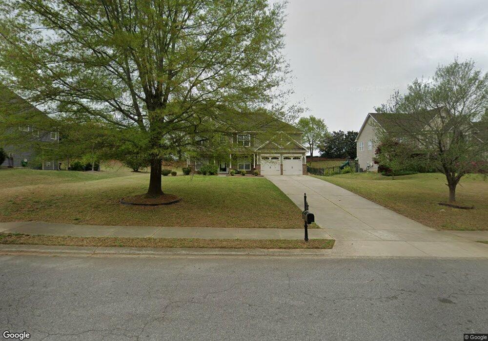
270 Adams Point Dr Garner, NC 27529
Estimated Value: $455,174 - $530,000
4
Beds
3
Baths
2,700
Sq Ft
$180/Sq Ft
Est. Value
About This Home
This home is located at 270 Adams Point Dr, Garner, NC 27529 and is currently estimated at $486,544, approximately $180 per square foot. 270 Adams Point Dr is a home located in Johnston County with nearby schools including West View Elementary School, Cleveland Middle School, and West Johnston High School.
Ownership History
Date
Name
Owned For
Owner Type
Purchase Details
Closed on
May 16, 2017
Sold by
Csh Property One Llc
Bought by
Cshp One Lp
Current Estimated Value
Purchase Details
Closed on
Sep 26, 2016
Sold by
Davis Willie Eric and Davis Pamela Kelly
Bought by
Csh Property One Llc
Purchase Details
Closed on
Apr 5, 2007
Sold by
Southpoint Homes Llc
Bought by
Davis Willie Eric and Davis Pamela Kelly
Home Financials for this Owner
Home Financials are based on the most recent Mortgage that was taken out on this home.
Original Mortgage
$50,958
Interest Rate
6.11%
Mortgage Type
Stand Alone Second
Create a Home Valuation Report for This Property
The Home Valuation Report is an in-depth analysis detailing your home's value as well as a comparison with similar homes in the area
Home Values in the Area
Average Home Value in this Area
Purchase History
We collect this data history from publicly available records. To have your information removed, we recommend requesting removal directly through your county’s website.
| Date | Buyer | Sale Price | Title Company |
|---|---|---|---|
| Cshp One Lp | -- | None Available | |
| Csh Property One Llc | $251,000 | None Available | |
| Davis Willie Eric | $255,000 | None Available |
Source: Public Records
Mortgage History
We collect this data history from publicly available records. To have your information removed, we recommend requesting removal directly through your county’s website.
| Date | Status | Borrower | Loan Amount |
|---|---|---|---|
| Previous Owner | Davis Willie Eric | $50,958 | |
| Previous Owner | Davis Willie Eric | $203,831 |
Source: Public Records
Tax History
| Year | Tax Paid | Tax Assessment Tax Assessment Total Assessment is a certain percentage of the fair market value that is determined by local assessors to be the total taxable value of land and additions on the property. | Land | Improvement |
|---|---|---|---|---|
| 2025 | $2,942 | $463,290 | $70,000 | $393,290 |
| 2024 | $2,331 | $287,720 | $48,000 | $239,720 |
| 2023 | $2,251 | $287,720 | $48,000 | $239,720 |
| 2022 | $2,367 | $287,720 | $48,000 | $239,720 |
| 2021 | $2,367 | $287,720 | $48,000 | $239,720 |
| 2020 | $2,395 | $287,720 | $48,000 | $239,720 |
| 2019 | $2,395 | $287,720 | $48,000 | $239,720 |
| 2018 | $2,251 | $264,060 | $44,000 | $220,060 |
| 2017 | $2,251 | $264,060 | $44,000 | $220,060 |
| 2016 | $2,222 | $260,660 | $44,000 | $216,660 |
| 2015 | $2,222 | $260,660 | $44,000 | $216,660 |
| 2014 | $2,222 | $260,660 | $44,000 | $216,660 |
Source: Public Records
Map
Nearby Homes
- 58 Trailblazer Ln
- 267 Meadowmist Dr
- 13 W Currituck Cir
- 210 Ivey Gate Ln
- 188 Flight Pattern Way
- 320 Black Angus Dr
- 36 Miry Branch Ct
- 304 Artic Cir
- 41 Gladwood Way
- 908 Olive Dr
- 222 Dana Dr
- 17 Belgian Blue Dr
- 500 Hillcrest Dr
- 0 Southfort Dr
- 113 Linden Ct
- Lot 2a S Shiloh Rd
- 2012 Southfort Dr
- 107 Gibbons Dr
- 112 Gibbons Dr
- 97 Fairbanks Ave
- 290 Adams Point Dr
- 250 Adams Point Dr
- 310 Adams Point Dr
- 234 Adams Point Dr
- 1611 Old Drug Store Rd
- 1643 Old Drug Store Rd
- 275 Adams Point Dr
- 255 Adams Point Dr
- 295 Adams Point Dr
- 328 Adams Point Dr
- 214 Adams Point Dr
- 364 Adams Point Dr
- 243 Adams Point Dr
- 1587 Old Drug Store Rd
- 313 Adams Point Dr
- 1671 Old Drug Store Rd
- 346 Adams Point Dr
- 331 Adams Point Dr
- 194 Adams Point Dr
- 1314 Fieldtrial Cir
Your Personal Tour Guide
Ask me questions while you tour the home.