Estimated Value: $202,000 - $253,000
About This Home
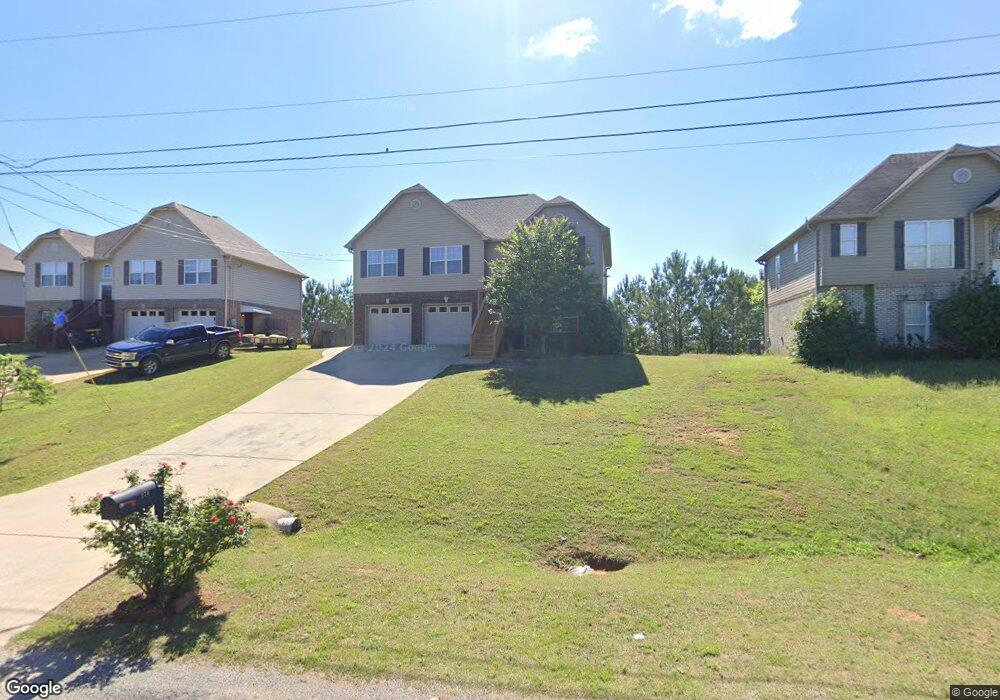
This home is located at 270 Dust Ridge Rd Unit 49, Moody, AL 35004 and is currently estimated at $235,057, approximately $148 per square foot. 270 Dust Ridge Rd Unit 49 is a home located in St. Clair County with nearby schools including Moody Elementary School, Moody Middle School, and Moody High School.
Ownership History
We collect this data history from publicly available records. To have your information removed, we recommend requesting removal directly through your county’s website.
Purchase Details
Home Financials for this Owner
Home Financials are based on the most recent Mortgage that was taken out on this home.Purchase Details
Purchase Details
Purchase Details
Home Financials for this Owner
Home Financials are based on the most recent Mortgage that was taken out on this home.Home Values in the Area
Average Home Value in this Area
Purchase History
We collect this data history from publicly available records. To have your information removed, we recommend requesting removal directly through your county’s website.
| Date | Buyer | Sale Price | Title Company |
|---|---|---|---|
| $240,000 | None Listed On Document | ||
| $189,000 | None Listed On Document | ||
| $250,000 | England Kyle | ||
| $250,000 | England Kyle | ||
| $134,000 | None Available |
Mortgage History
We collect this data history from publicly available records. To have your information removed, we recommend requesting removal directly through your county’s website.
| Date | Status | Borrower | Loan Amount |
|---|---|---|---|
| Open | $242,424 | ||
| Previous Owner | $136,734 |
Tax History
We collect this data history from publicly available records. To have your information removed, we recommend requesting removal directly through your county’s website.
| Year | Tax Paid | Tax Assessment Tax Assessment Total Assessment is a certain percentage of the fair market value that is determined by local assessors to be the total taxable value of land and additions on the property. | Land | Improvement |
|---|---|---|---|---|
| 2025 | $704 | $19,560 | $0 | $0 |
| 2024 | $1,375 | $38,208 | $5,200 | $33,008 |
| 2023 | $1,361 | $37,798 | $5,200 | $32,598 |
| 2022 | $468 | $14,315 | $2,600 | $11,715 |
| 2021 | $468 | $14,315 | $2,600 | $11,715 |
| 2020 | $486 | $14,835 | $2,600 | $12,235 |
| 2019 | $486 | $14,835 | $2,600 | $12,235 |
| 2018 | $437 | $13,460 | $0 | $0 |
| 2017 | $445 | $13,460 | $0 | $0 |
| 2016 | $437 | $13,460 | $0 | $0 |
| 2015 | $445 | $13,460 | $0 | $0 |
| 2014 | $445 | $13,700 | $0 | $0 |
Map
- 5953 Old Acton Rd
- 125 Bates Ln
- 55 Acton Loop Rd
- 100 Stevens Cove Dr
- 190 Andrew Ln
- 2430 W Middlebrooke Crossing
- 140 Andrew Ln
- 2265 W Middlebrooke Crossing
- 2215 W Middlebrooke Crossing
- 135 Horton Dr
- 129 Horton Dr
- 70 Ryan Cir
- 80 Ryan Cir
- 9070 Brookhaven Ln
- 710 Sterling Place
- 820 Brookhaven Dr
- 9075 Brookhaven Ln
- 1055 Brookhaven Ln
- 3015 E Middlebrooke Crossing
- 1095 Brookhaven Ln
- 5915 Old Acton Rd
- 5921 Old Acton Rd
- 5911 Old Acton Rd
- 240 Dust Ridge Rd
- 120 Old Acton Rd
- 250 Dust Ridge Rd Unit LOT 47
- 5927 Old Acton Rd
- 5905 Old Acton Rd
- 230 Dust Ridge Rd
- 260 Dust Ridge Rd
- 260 Dust Ridge Rd Unit 48
- 5920 Old Acton Rd
- 220 Dust Ridge Rd
- 5933 Old Acton Rd
- 270 Dust Ridge Rd
- 210 Dust Ridge Rd
- 0 Dust Ridge Rd Unit 73 839612
- 0 Dust Ridge Rd Unit 72 839607
- 0 Dust Ridge Rd Unit 70 839602
- 0 Dust Ridge Rd Unit 69 839601
Ask me questions while you tour the home.