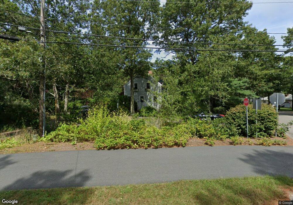
270 Setucket Rd Dennis, MA 02638
East Dennis NeighborhoodEstimated Value: $2,412,000 - $2,582,000
4
Beds
5
Baths
3,691
Sq Ft
$677/Sq Ft
Est. Value
About This Home
This home is located at 270 Setucket Rd, Dennis, MA 02638 and is currently estimated at $2,497,000, approximately $676 per square foot. 270 Setucket Rd is a home located in Barnstable County with nearby schools including Dennis-Yarmouth Regional High School, St. Pius X. School, and Latham School.
Ownership History
Date
Name
Owned For
Owner Type
Purchase Details
Closed on
Jan 24, 2020
Sold by
Crowell Joel G and Crowell Beth K
Bought by
Joel G Crowell 2020 Lt and Crowell
Current Estimated Value
Purchase Details
Closed on
May 23, 1978
Bought by
Crowell Joel G and Crowell Beth K
Create a Home Valuation Report for This Property
The Home Valuation Report is an in-depth analysis detailing your home's value as well as a comparison with similar homes in the area
Home Values in the Area
Average Home Value in this Area
Purchase History
| Date | Buyer | Sale Price | Title Company |
|---|---|---|---|
| Joel G Crowell 2020 Lt | -- | None Available | |
| Joel G Crowell 2020 Lt | -- | None Available | |
| Crowell Joel G | -- | -- |
Source: Public Records
Mortgage History
| Date | Status | Borrower | Loan Amount |
|---|---|---|---|
| Previous Owner | Crowell Joel G | $75,000 | |
| Previous Owner | Crowell Joel G | $400,000 |
Source: Public Records
Tax History
| Year | Tax Paid | Tax Assessment Tax Assessment Total Assessment is a certain percentage of the fair market value that is determined by local assessors to be the total taxable value of land and additions on the property. | Land | Improvement |
|---|---|---|---|---|
| 2025 | $8,771 | $2,025,600 | $708,300 | $1,317,300 |
| 2024 | $8,717 | $1,985,600 | $605,200 | $1,380,400 |
| 2023 | $7,951 | $1,702,500 | $550,100 | $1,152,400 |
| 2022 | $7,231 | $1,291,200 | $436,100 | $855,100 |
| 2021 | $6,996 | $1,160,200 | $369,200 | $791,000 |
| 2020 | $6,581 | $1,078,800 | $369,200 | $709,600 |
| 2019 | $7,852 | $1,272,600 | $571,600 | $701,000 |
| 2018 | $7,319 | $1,154,400 | $544,200 | $610,200 |
| 2017 | $6,996 | $1,137,500 | $544,200 | $593,300 |
| 2016 | $7,100 | $1,087,300 | $580,500 | $506,800 |
| 2015 | $6,959 | $1,087,300 | $580,500 | $506,800 |
| 2014 | $7,395 | $1,164,500 | $598,600 | $565,900 |
Source: Public Records
Map
Nearby Homes
- 32 Captain Walsh Dr
- 71 Grassy Pond Dr
- 16 Hazelwood Rd
- 52 Uncle Bobs Way
- 10 Uncle Bills Way
- 61 Terrace Hill Dr
- 58 Terrace Hill Dr
- 18 Asack Dr
- 4 Surrey Ln
- 68 Sea Meadow Dr
- 39 Whittier Dr
- 1 Charing Cross Rd
- 31 High Head Rd
- 26 S West Dr
- 14 S Yarmouth Rd
- 149 Greenland Cir
- 102 Prince Way
- 7 Vinland Dr
- 1354 Route 134
- 59 Main St Unit 7-3
- 270 Setucket Rd
- 268 Setucket Rd
- 11 Lady Slipper Dr
- 6 Phyllis Rd
- 4 Lady Slipper Dr
- 550 Old Bass River Rd
- 12 Phyllis Rd
- 10 Lady Slipper Dr
- 2 Phyllis Rd
- 275 Setucket Rd
- 17 Lady Slipper Dr
- 269 Setucket Rd
- 14 Lady Slipper Dr
- 16 Phyllis Rd
- 292 Setucket Rd
- 285 Setucket Rd
- 9 Phyllis Rd
- 558 Old Bass River Rd
- 20 Phyllis Rd
- 23 Lady Slipper Dr
Your Personal Tour Guide
Ask me questions while you tour the home.