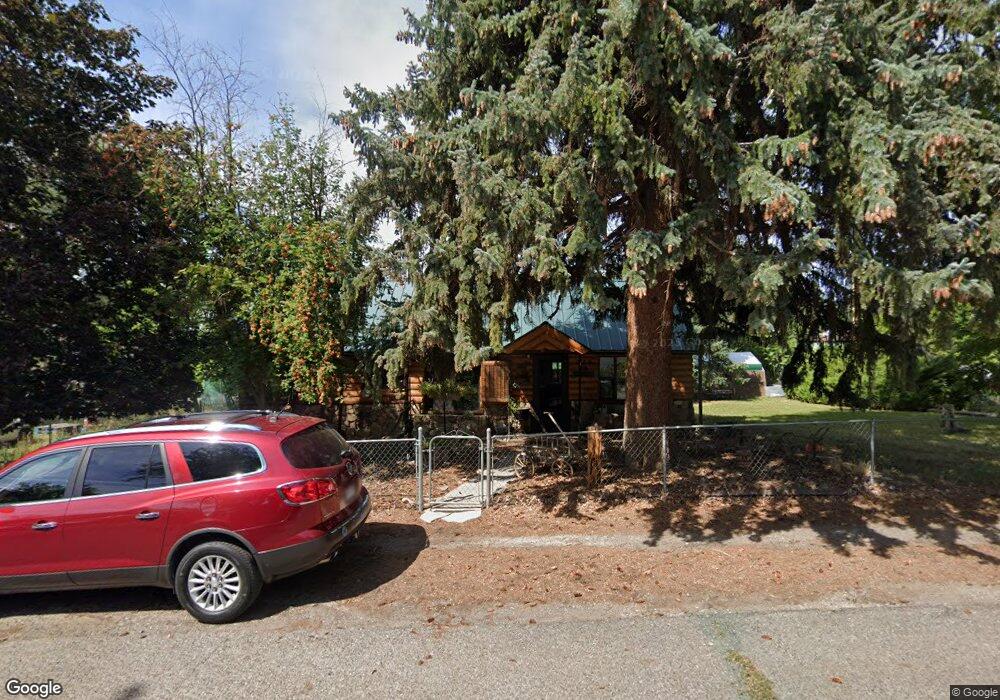
270 SW 4th St Cedaredge, CO 81413
Estimated Value: $260,677 - $289,000
3
Beds
1
Bath
1,120
Sq Ft
$249/Sq Ft
Est. Value
About This Home
This home is located at 270 SW 4th St, Cedaredge, CO 81413 and is currently estimated at $279,419, approximately $249 per square foot. 270 SW 4th St is a home located in Delta County with nearby schools including Cedaredge Elementary School, Cedaredge Middle School, and Cedaredge High School.
Ownership History
Date
Name
Owned For
Owner Type
Purchase Details
Closed on
May 9, 2017
Sold by
Fannie Mae
Bought by
Sutton Daniel D and Sutton Vicki S
Current Estimated Value
Home Financials for this Owner
Home Financials are based on the most recent Mortgage that was taken out on this home.
Original Mortgage
$98,400
Outstanding Balance
$80,541
Interest Rate
4.14%
Mortgage Type
New Conventional
Estimated Equity
$198,878
Purchase Details
Closed on
Jan 31, 2017
Sold by
Hottle Donald
Bought by
Federal National Mortgage Association
Purchase Details
Closed on
Jan 11, 2017
Sold by
Hottle Donald
Bought by
Federal National Mortgage Association
Purchase Details
Closed on
Jul 29, 1994
Sold by
Miller
Bought by
Hottle Sutton Daniel D and Hottle Sutton
Create a Home Valuation Report for This Property
The Home Valuation Report is an in-depth analysis detailing your home's value as well as a comparison with similar homes in the area
Purchase History
We collect this data history from publicly available records. To have your information removed, we recommend requesting removal directly through your county’s website.
| Date | Buyer | Sale Price | Title Company |
|---|---|---|---|
| Sutton Daniel D | $123,000 | Assured Title | |
| Federal National Mortgage Association | -- | None Available | |
| Federal National Mortgage Association | $107,400 | None Available | |
| Hottle Sutton Daniel D | $70,000 | -- |
Source: Public Records
Mortgage History
We collect this data history from publicly available records. To have your information removed, we recommend requesting removal directly through your county’s website.
| Date | Status | Borrower | Loan Amount |
|---|---|---|---|
| Open | Sutton Daniel D | $98,400 |
Source: Public Records
Tax History
| Year | Tax Paid | Tax Assessment Tax Assessment Total Assessment is a certain percentage of the fair market value that is determined by local assessors to be the total taxable value of land and additions on the property. | Land | Improvement |
|---|---|---|---|---|
| 2025 | $1,007 | $14,579 | $2,813 | $11,766 |
| 2024 | $791 | $11,601 | $2,034 | $9,567 |
| 2023 | $791 | $11,601 | $2,034 | $9,567 |
| 2022 | $716 | $10,686 | $2,016 | $8,670 |
| 2021 | $713 | $10,993 | $2,074 | $8,919 |
| 2020 | $518 | $7,752 | $1,845 | $5,907 |
| 2019 | $517 | $7,752 | $1,845 | $5,907 |
| 2018 | $489 | $6,979 | $1,800 | $5,179 |
| 2017 | $444 | $6,338 | $1,800 | $4,538 |
| 2016 | $440 | $6,827 | $2,189 | $4,638 |
| 2014 | -- | $5,731 | $2,348 | $3,383 |
Source: Public Records
Map
Nearby Homes
- 550 W Main St
- 190 & 170 SW 2nd Ave Unit A, B, C
- 370 S Grand Mesa Dr
- Lot 23 Colorado 65
- 285 S Grand Mesa Dr
- 105 SE Buffalo Ave
- 110 SE Eagle Ave
- 205 NW 5th St
- 160 SE Antelope Ave
- 270 NW 5th St
- 570 SW 2nd Ct
- 640 3/4 S Grand Mesa Dr
- 245 NW 3rd St
- 165 SE Eagle Ave
- 470 SW 1st Ct
- 180 1/2 SW 8th Ave
- 245 NW 10th St
- 230 SE Greenwood Ave
- 215 SW 8th Cir
- 185 & 165 NW 11th St
Your Personal Tour Guide
Ask me questions while you tour the home.