2700 Deer Path Duncan Falls, OH 43734
Estimated Value: $290,000 - $357,020
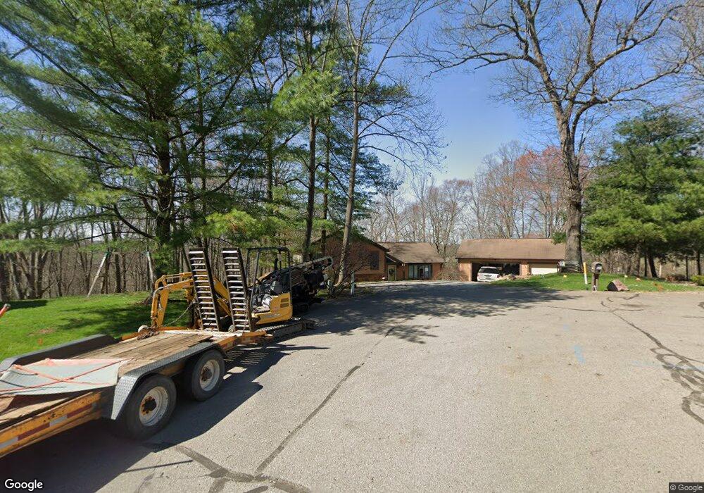
About This Home
This home is located at 2700 Deer Path, Duncan Falls, OH 43734 and is currently estimated at $333,755, approximately $149 per square foot. 2700 Deer Path is a home located in Muskingum County with nearby schools including Philo High School.
Ownership History
We collect this data history from publicly available records. To have your information removed, we recommend requesting removal directly through your county’s website.
Purchase Details
Home Financials for this Owner
Home Financials are based on the most recent Mortgage that was taken out on this home.Purchase Details
Home Financials for this Owner
Home Financials are based on the most recent Mortgage that was taken out on this home.Purchase Details
Purchase Details
Home Financials for this Owner
Home Financials are based on the most recent Mortgage that was taken out on this home.Purchase Details
Home Financials for this Owner
Home Financials are based on the most recent Mortgage that was taken out on this home.Purchase History
We collect this data history from publicly available records. To have your information removed, we recommend requesting removal directly through your county’s website.
| Date | Buyer | Sale Price | Title Company |
|---|---|---|---|
| $160,000 | None Available | ||
| $80,500 | Attorney | ||
| $80,000 | None Available | ||
| $149,700 | -- | ||
| $120,000 | -- |
Mortgage History
We collect this data history from publicly available records. To have your information removed, we recommend requesting removal directly through your county’s website.
| Date | Status | Borrower | Loan Amount |
|---|---|---|---|
| Open | $128,000 | ||
| Previous Owner | $83,000 | ||
| Previous Owner | $148,525 | ||
| Previous Owner | $117,792 |
Tax History
We collect this data history from publicly available records. To have your information removed, we recommend requesting removal directly through your county’s website.
| Year | Tax Paid | Tax Assessment Tax Assessment Total Assessment is a certain percentage of the fair market value that is determined by local assessors to be the total taxable value of land and additions on the property. | Land | Improvement |
|---|---|---|---|---|
| 2025 | $5,148 | $87,325 | $11,515 | $75,810 |
| 2024 | $2,885 | $87,325 | $11,515 | $75,810 |
| 2023 | $2,465 | $70,805 | $9,625 | $61,180 |
| 2022 | $2,363 | $70,805 | $9,625 | $61,180 |
| 2021 | $2,326 | $70,805 | $9,625 | $61,180 |
| 2020 | $2,080 | $63,700 | $8,750 | $54,950 |
| 2019 | $2,075 | $63,700 | $8,750 | $54,950 |
| 2018 | $2,009 | $63,700 | $8,750 | $54,950 |
| 2017 | $1,859 | $50,785 | $8,750 | $42,035 |
| 2016 | $1,787 | $50,790 | $8,750 | $42,040 |
| 2015 | $1,837 | $50,790 | $8,750 | $42,040 |
| 2013 | $1,973 | $50,790 | $8,750 | $42,040 |
Map
- 254 Sycamore St
- 289 Elm St
- 512 North St
- 385 Water St
- 2630 Wilhelm Rd
- 0 Old River Rd Unit 5201369
- 176 Market St
- 231 Front St
- 4310 Cherlick Dr
- 881 Hock St
- 3900 Chandlersville Rd
- 420 6th St
- 3100 Durant Rd
- 385 Irish Ridge Rd
- 0 Sealover Hollow Rd
- 4145 Old River Rd
- 6625 S River Rd
- 3010 Corbin Dr
- 3075 Corbin Dr
- 2950 Corbin Dr
Ask me questions while you tour the home.