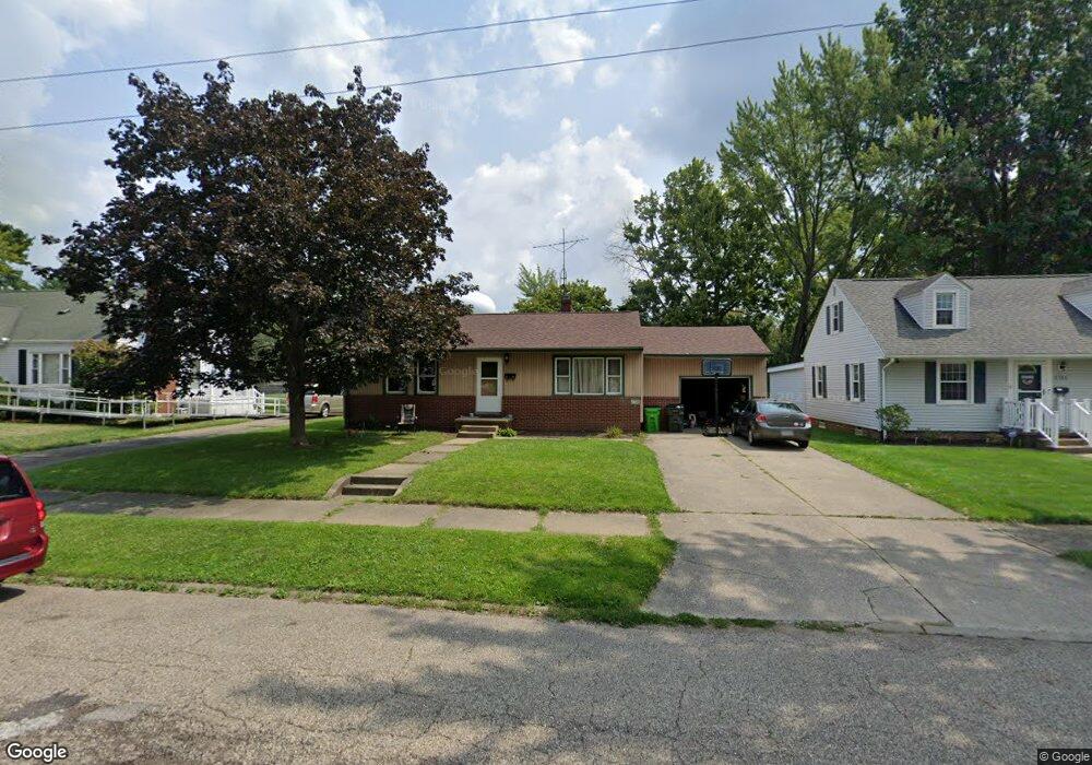
2708 Shunk Ave Alliance, OH 44601
Alliance AreaEstimated Value: $142,000 - $164,000
About This Home
This home is located at 2708 Shunk Ave, Alliance, OH 44601 and is currently estimated at $152,452, approximately $176 per square foot. 2708 Shunk Ave is a home located in Stark County with nearby schools including Alliance Elementary School at Rockhill, Alliance Intermediate School at Northside, and Alliance Middle School.
Ownership History
We collect this data history from publicly available records. To have your information removed, we recommend requesting removal directly through your county’s website.
Purchase Details
Home Financials for this Owner
Home Financials are based on the most recent Mortgage that was taken out on this home.Home Values in the Area
Average Home Value in this Area
Purchase History
We collect this data history from publicly available records. To have your information removed, we recommend requesting removal directly through your county’s website.
| Date | Buyer | Sale Price | Title Company |
|---|---|---|---|
| $82,800 | None Available |
Mortgage History
We collect this data history from publicly available records. To have your information removed, we recommend requesting removal directly through your county’s website.
| Date | Status | Borrower | Loan Amount |
|---|---|---|---|
| Open | $66,000 |
Tax History
We collect this data history from publicly available records. To have your information removed, we recommend requesting removal directly through your county’s website.
| Year | Tax Paid | Tax Assessment Tax Assessment Total Assessment is a certain percentage of the fair market value that is determined by local assessors to be the total taxable value of land and additions on the property. | Land | Improvement |
|---|---|---|---|---|
| 2025 | -- | $36,760 | $13,130 | $23,630 |
| 2024 | -- | $36,760 | $13,130 | $23,630 |
| 2023 | $1,308 | $32,550 | $10,220 | $22,330 |
| 2022 | $1,317 | $32,550 | $10,220 | $22,330 |
| 2021 | $1,288 | $31,820 | $10,220 | $21,600 |
| 2020 | $1,172 | $27,030 | $8,860 | $18,170 |
| 2019 | $1,155 | $27,030 | $8,860 | $18,170 |
| 2018 | $1,161 | $27,030 | $8,860 | $18,170 |
| 2017 | $1,075 | $24,640 | $8,190 | $16,450 |
| 2016 | $1,084 | $24,640 | $8,190 | $16,450 |
| 2015 | $1,094 | $24,640 | $8,190 | $16,450 |
| 2014 | $1,049 | $22,510 | $7,490 | $15,020 |
| 2013 | $524 | $22,510 | $7,490 | $15,020 |
Map
- 2616 Ridgewood Ave
- 2358 Clark Ave
- 2245 Shunk Ave
- 841 W Milton St
- 2306 Clark Ave
- 2435 S Union Ave
- 2144 Ridgewood Ave
- 3116 Ridgehill Ave
- 2360 Burton Ave
- 2031 Ridgewood Ave
- 2820 Ashwood Dr
- 231 E Milton St
- 2414 Watson Ave
- 2417 S Arch Ave
- 0 Ashwood Dr
- 2915 Ashwood Dr
- 1120 W Milton St
- 2435 Eastern Ave
- 2321 S Arch Ave
- 865 Hartshorn St
- 2616 Shunk Ave
- 2606 Shunk Ave
- 2556 Shunk Ave
- 2636 Shunk Ave
- 2544 Shunk Ave
- 2613 Shunk Ave
- 2625 Shunk Ave
- 2603 Shunk Ave
- 2534 Shunk Ave
- 2553 Shunk Ave
- 2635 Shunk Ave
- 2724 Shunk Ave
- 2543 Shunk Ave
- 2645 Shunk Ave
- 2524 Shunk Ave
- 2531 Shunk Ave
- 2514 Shunk Ave
- 2740 Shunk Ave
- 2521 Shunk Ave
- 2614 Belleflower Dr
Ask me questions while you tour the home.