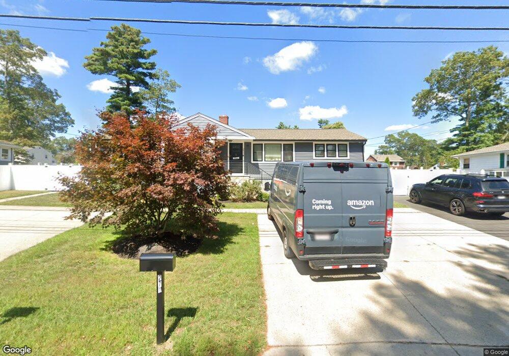
271 Canton St Unit 1 Randolph, MA 02368
North Randolph NeighborhoodEstimated Value: $781,677 - $882,000
2
Beds
2
Baths
816
Sq Ft
$1,041/Sq Ft
Est. Value
About This Home
This home is located at 271 Canton St Unit 1, Randolph, MA 02368 and is currently estimated at $849,169, approximately $1,040 per square foot. 271 Canton St Unit 1 is a home located in Norfolk County with nearby schools including Randolph High School.
Ownership History
Date
Name
Owned For
Owner Type
Purchase Details
Closed on
Aug 3, 2007
Sold by
Pyne Patrick
Bought by
Reen Amanda and Reen Jeffrey E
Current Estimated Value
Home Financials for this Owner
Home Financials are based on the most recent Mortgage that was taken out on this home.
Original Mortgage
$260,000
Outstanding Balance
$159,823
Interest Rate
6.73%
Mortgage Type
Purchase Money Mortgage
Estimated Equity
$689,346
Purchase Details
Closed on
Mar 2, 1994
Sold by
Bouchard John and Bouchard Phyllis Ms
Bought by
Lafleur Kerri
Home Financials for this Owner
Home Financials are based on the most recent Mortgage that was taken out on this home.
Original Mortgage
$98,800
Interest Rate
7.01%
Mortgage Type
Purchase Money Mortgage
Create a Home Valuation Report for This Property
The Home Valuation Report is an in-depth analysis detailing your home's value as well as a comparison with similar homes in the area
Home Values in the Area
Average Home Value in this Area
Purchase History
| Date | Buyer | Sale Price | Title Company |
|---|---|---|---|
| Reen Amanda | $325,000 | -- | |
| Reen Amanda | $325,000 | -- | |
| Reen Amanda R | $325,000 | -- | |
| Lafleur Kerri | $123,500 | -- | |
| Lafleur Kerri A | $123,500 | -- |
Source: Public Records
Mortgage History
| Date | Status | Borrower | Loan Amount |
|---|---|---|---|
| Open | Reen Amanda R | $260,000 | |
| Closed | Reen Amanda | $260,000 | |
| Previous Owner | Lafleur Kerri A | $115,000 | |
| Previous Owner | Lafleur Kerri A | $98,800 |
Source: Public Records
Tax History
| Year | Tax Paid | Tax Assessment Tax Assessment Total Assessment is a certain percentage of the fair market value that is determined by local assessors to be the total taxable value of land and additions on the property. | Land | Improvement |
|---|---|---|---|---|
| 2025 | $8,634 | $743,700 | $230,300 | $513,400 |
| 2024 | $7,933 | $692,800 | $225,700 | $467,100 |
| 2023 | $7,695 | $637,000 | $205,200 | $431,800 |
| 2022 | $7,598 | $558,700 | $171,000 | $387,700 |
| 2021 | $7,706 | $521,400 | $142,600 | $378,800 |
Source: Public Records
Map
Nearby Homes
- 1 William Morrison Dr
- 902 Irving Rd Unit 902
- 232 Canton St Unit 308
- 232 Canton St Unit 112
- 232 Canton St Unit 104
- 6 Washington Dr
- 45 Saddleback Ln
- 195 High St
- 79 Gold St
- 37 Himoor Cir
- 11 Old Farm Rd
- 140 York St
- 7 Waldo St
- 234 York St
- 1004 N Main St
- 26 Eugenia St
- 1 Royal Crest Dr Unit 3
- 9 Royal Crest Dr Unit 12
- 1 Royal Crest Dr Unit 12
- 19 Smith Rd
- 273 Canton St
- 271 Canton St
- 275-277 Canton St
- 277 Canton St
- 277 Canton St Unit 2
- 277 Canton St Unit 1
- 275 Canton St
- 275 277 Canton St
- 267 Canton St
- 4 Connolly St
- 6 Connolly St
- 2 Connolly St
- 278 Canton St
- 279-281 Canton St
- 279 Canton St
- 279 Canton St Unit 279
- 279 Canton St Unit 1
- 8 Connolly St
- 2 Turner Dr
- 272 Canton St
Your Personal Tour Guide
Ask me questions while you tour the home.