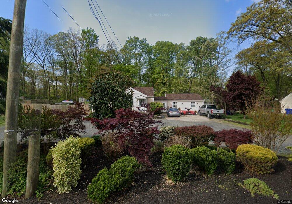
271 Creek Rd Mount Laurel, NJ 08054
Estimated Value: $344,239 - $422,000
About This Home
This home is located at 271 Creek Rd, Mount Laurel, NJ 08054 and is currently estimated at $368,810, approximately $344 per square foot. 271 Creek Rd is a home located in Burlington County with nearby schools including Fleetwood Elementary School, Mount Laurel Hartford School, and T.E. Harrington Middle School.
Ownership History
We collect this data history from publicly available records. To have your information removed, we recommend requesting removal directly through your county’s website.
Purchase Details
Home Financials for this Owner
Home Financials are based on the most recent Mortgage that was taken out on this home.Home Values in the Area
Average Home Value in this Area
Purchase History
We collect this data history from publicly available records. To have your information removed, we recommend requesting removal directly through your county’s website.
| Date | Buyer | Sale Price | Title Company |
|---|---|---|---|
| $125,000 | -- |
Mortgage History
We collect this data history from publicly available records. To have your information removed, we recommend requesting removal directly through your county’s website.
| Date | Status | Borrower | Loan Amount |
|---|---|---|---|
| Open | $100,000 |
Tax History
We collect this data history from publicly available records. To have your information removed, we recommend requesting removal directly through your county’s website.
| Year | Tax Paid | Tax Assessment Tax Assessment Total Assessment is a certain percentage of the fair market value that is determined by local assessors to be the total taxable value of land and additions on the property. | Land | Improvement |
|---|---|---|---|---|
| 2025 | $6,493 | $193,200 | $80,800 | $112,400 |
| 2024 | $5,869 | $193,200 | $80,800 | $112,400 |
| 2023 | $5,869 | $193,200 | $80,800 | $112,400 |
| 2022 | $5,850 | $193,200 | $80,800 | $112,400 |
| 2021 | $5,740 | $193,200 | $80,800 | $112,400 |
| 2020 | $5,628 | $193,200 | $80,800 | $112,400 |
| 2019 | $5,570 | $193,200 | $80,800 | $112,400 |
| 2018 | $5,527 | $193,200 | $80,800 | $112,400 |
| 2017 | $5,384 | $193,200 | $80,800 | $112,400 |
| 2016 | $5,303 | $193,200 | $80,800 | $112,400 |
| 2015 | $5,242 | $193,200 | $80,800 | $112,400 |
| 2014 | $5,189 | $193,200 | $80,800 | $112,400 |
Map
- 12 Shadow Oak Ct
- 119 Fleetwood Ave
- 512 Garden Way
- 317 Timberline Dr
- 332B Willow Way
- 336 Larch Rd
- 3 Boothby Ct
- 2961 Marne Hwy
- 5 Birch Dr
- 11 Evergreen Rd
- 4 Dickens Ln
- 419 Hickory Ln
- 2807 Gramercy Way Unit 2807
- 164 Memorial Ln
- 36 Crows Nest Ct
- 27 Compass Cir
- 5107 Halifax Way Unit 5107
- 4701A Adelaide Dr Unit 4701A
- 5305A Adelaide Dr
- 4503A Adelaide Dr Unit 4503A
- 275 Creek Rd
- 267 Creek Rd
- 109 Independence Ln
- 100 Knotty Oak Dr
- 279 Creek Rd
- 113 Independence Ln
- 16 Shadow Oak Ct
- 18 Shadow Oak Ct
- 102 Knotty Oak Dr
- 283 Creek Rd
- 263 Creek Rd
- 117 Independence Ln
- 14 Shadow Oak Ct
- 259 Creek Rd
- 105 Community Ln
- 20 Shadow Oak Ct
- 116 Independence Ln
- 104 Community Ln
- 104 Independence Ln
- 604 Tallowood Ln
Ask me questions while you tour the home.