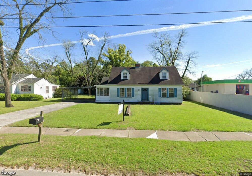
271 E Broad St Camilla, GA 31730
Estimated Value: $108,480 - $166,000
Studio
1
Bath
1,566
Sq Ft
$81/Sq Ft
Est. Value
About This Home
This home is located at 271 E Broad St, Camilla, GA 31730 and is currently estimated at $126,370, approximately $80 per square foot. 271 E Broad St is a home located in Mitchell County with nearby schools including Mitchell County Primary School, Mitchell County Elementary School, and Mitchell County Middle School.
Ownership History
Date
Name
Owned For
Owner Type
Purchase Details
Closed on
Apr 1, 2011
Sold by
Palmer Gayle W
Bought by
Palmer Rentals Llc
Current Estimated Value
Purchase Details
Closed on
Mar 13, 2007
Sold by
Wingate Mary Brooks
Bought by
Palmer Joseph H
Create a Home Valuation Report for This Property
The Home Valuation Report is an in-depth analysis detailing your home's value as well as a comparison with similar homes in the area
Home Values in the Area
Average Home Value in this Area
Purchase History
| Date | Buyer | Sale Price | Title Company |
|---|---|---|---|
| Palmer Rentals Llc | -- | -- | |
| Palmer Joseph H | $62,000 | -- |
Source: Public Records
Tax History
| Year | Tax Paid | Tax Assessment Tax Assessment Total Assessment is a certain percentage of the fair market value that is determined by local assessors to be the total taxable value of land and additions on the property. | Land | Improvement |
|---|---|---|---|---|
| 2025 | $1,476 | $37,640 | $1,960 | $35,680 |
| 2024 | $1,478 | $37,640 | $1,960 | $35,680 |
| 2023 | $1,582 | $37,640 | $1,960 | $35,680 |
| 2022 | $1,216 | $28,920 | $1,960 | $26,960 |
| 2021 | $1,093 | $26,000 | $1,960 | $24,040 |
| 2020 | $1,093 | $26,000 | $1,960 | $24,040 |
| 2019 | $1,089 | $26,000 | $1,960 | $24,040 |
| 2018 | $1,135 | $26,014 | $1,974 | $24,040 |
| 2017 | $1,212 | $28,035 | $1,974 | $26,061 |
| 2016 | $1,196 | $28,035 | $1,974 | $26,061 |
| 2015 | $1,196 | $28,035 | $1,974 | $26,061 |
| 2014 | $1,196 | $28,035 | $1,974 | $26,061 |
| 2013 | $1,196 | $28,035 | $1,974 | $26,061 |
Source: Public Records
Map
Nearby Homes
- 277 E Broad St
- 278 E Broad St
- 286 E Broad St
- 21 S Macarthur Dr
- Hwy 37 Moultrie Rd
- 37 S Macarthur Dr
- 48 Hwy 19s
- 292 E Broad St
- 5 U S 19
- 26 N Macarthur Dr
- 24 S Macarthur Dr
- 0 U S 19
- 43 S Macarthur Dr
- 6 S Macarthur Dr
- 32 S Macarthur Dr
- 16 S Macarthur Dr
- 57 S Macarthur Dr
- 30 N Macarthur Dr
- 320 Moultrie Rd
- 2780 Hwy 37 E Pasture Acreage Only
Your Personal Tour Guide
Ask me questions while you tour the home.