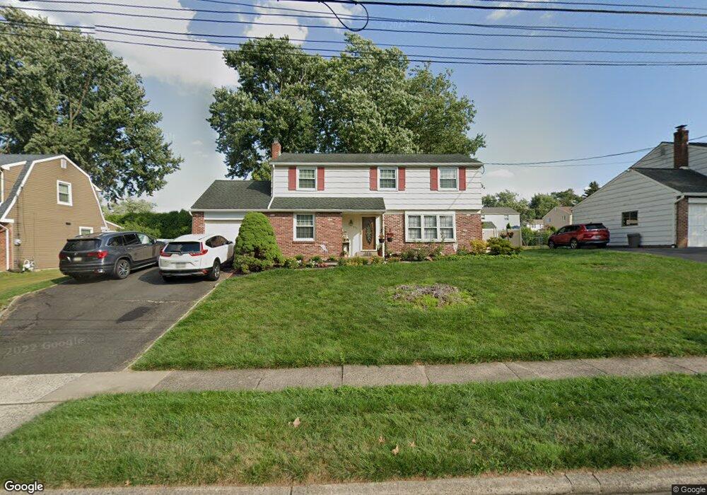
271 Kent Rd Warminster, PA 18974
Estimated Value: $450,452 - $590,000
Studio
2
Baths
1,927
Sq Ft
$260/Sq Ft
Est. Value
About This Home
This home is located at 271 Kent Rd, Warminster, PA 18974 and is currently estimated at $501,363, approximately $260 per square foot. 271 Kent Rd is a home located in Bucks County with nearby schools including Willow Dale Elementary School, Log College Middle School, and William Tennent High School.
Ownership History
Date
Name
Owned For
Owner Type
Purchase Details
Closed on
Apr 25, 1994
Sold by
Nacarelli Marguerite Cannally and Canally Marguerite A
Bought by
Shelton John W and Shelton Dana L
Current Estimated Value
Home Financials for this Owner
Home Financials are based on the most recent Mortgage that was taken out on this home.
Original Mortgage
$141,300
Interest Rate
7.7%
Purchase Details
Closed on
Jul 24, 1968
Bought by
Canally Charles J and Canally Marguerite
Create a Home Valuation Report for This Property
The Home Valuation Report is an in-depth analysis detailing your home's value as well as a comparison with similar homes in the area
Home Values in the Area
Average Home Value in this Area
Purchase History
| Date | Buyer | Sale Price | Title Company |
|---|---|---|---|
| Shelton John W | $157,000 | -- | |
| Canally Charles J | -- | -- |
Source: Public Records
Mortgage History
| Date | Status | Borrower | Loan Amount |
|---|---|---|---|
| Closed | Shelton John W | $141,300 |
Source: Public Records
Tax History
| Year | Tax Paid | Tax Assessment Tax Assessment Total Assessment is a certain percentage of the fair market value that is determined by local assessors to be the total taxable value of land and additions on the property. | Land | Improvement |
|---|---|---|---|---|
| 2025 | $5,741 | $27,200 | $5,160 | $22,040 |
| 2024 | $5,741 | $27,200 | $5,160 | $22,040 |
| 2023 | $5,564 | $27,200 | $5,160 | $22,040 |
| 2022 | $5,445 | $27,200 | $5,160 | $22,040 |
| 2021 | $5,318 | $27,200 | $5,160 | $22,040 |
| 2020 | $5,244 | $27,200 | $5,160 | $22,040 |
| 2019 | $4,965 | $27,200 | $5,160 | $22,040 |
| 2018 | $4,847 | $27,200 | $5,160 | $22,040 |
| 2017 | $4,704 | $27,200 | $5,160 | $22,040 |
| 2016 | $4,704 | $27,200 | $5,160 | $22,040 |
| 2015 | $4,604 | $27,200 | $5,160 | $22,040 |
| 2014 | $4,604 | $27,200 | $5,160 | $22,040 |
Source: Public Records
Map
Nearby Homes
- 299 Kent Rd
- 253 Kent Rd
- 64 Villa Dr Unit 206
- 173 Villa Dr Unit 100
- 1493 Bradley Ln
- 361 Valley Rd
- 240 Clearfield Cir
- 1575 W Street Rd Unit 327
- 1575 W Street Rd Unit 626
- 1575 W Street Rd Unit 537
- 1728 Beacon Ln
- 327 S Norristown Rd
- 60 Caledonia Dr
- 1228 Clyde Rd
- 532 Sherwood Ln
- 607 America Dr
- 602 America Dr Unit FARADAY MODEL HOME
- 604 America #Northbrook Model Dr
- 619 America Dr
- 1171 W County Line Rd
Your Personal Tour Guide
Ask me questions while you tour the home.