271 N 4th Ave Middleport, OH 45760
Estimated Value: $64,000 - $120,000
3
Beds
2
Baths
2,008
Sq Ft
$42/Sq Ft
Est. Value
About This Home
This home is located at 271 N 4th Ave, Middleport, OH 45760 and is currently estimated at $84,904, approximately $42 per square foot. 271 N 4th Ave is a home located in Meigs County with nearby schools including Meigs Primary School, Meigs Intermediate School, and Meigs Middle School.
Ownership History
Date
Name
Owned For
Owner Type
Purchase Details
Closed on
Dec 19, 2022
Sold by
Gilkey Christopher
Bought by
Farleigh Michael and Henderson Michael Shannon
Current Estimated Value
Purchase Details
Closed on
Dec 12, 2014
Sold by
Chadwell Paul L and Chadwell Kathy E
Bought by
Gilkey Christopher
Purchase Details
Closed on
Nov 26, 2014
Sold by
Cottrill Amos S and Cottrill Elizabeth Ann
Bought by
Chadwell Paul L
Purchase Details
Closed on
Dec 12, 2005
Sold by
Rupe Larry W and Rupe Beverly S
Bought by
Cottrill Amos S and Cottrill Elizabeth Ann
Purchase Details
Closed on
Apr 7, 1995
Bought by
Gilkey Christopher
Create a Home Valuation Report for This Property
The Home Valuation Report is an in-depth analysis detailing your home's value as well as a comparison with similar homes in the area
Purchase History
| Date | Buyer | Sale Price | Title Company |
|---|---|---|---|
| Farleigh Michael | $10,000 | -- | |
| Farleigh Michael | $10,000 | None Listed On Document | |
| Gilkey Christopher | $3,000 | None Available | |
| Chadwell Paul L | $4,000 | None Available | |
| Cottrill Amos S | -- | -- | |
| Gilkey Christopher | $11,000 | -- |
Source: Public Records
Tax History
| Year | Tax Paid | Tax Assessment Tax Assessment Total Assessment is a certain percentage of the fair market value that is determined by local assessors to be the total taxable value of land and additions on the property. | Land | Improvement |
|---|---|---|---|---|
| 2025 | $222 | $5,850 | $5,850 | $0 |
| 2024 | $222 | $10,610 | $5,000 | $5,610 |
| 2023 | $421 | $10,610 | $5,000 | $5,610 |
| 2022 | $407 | $10,610 | $5,000 | $5,610 |
| 2021 | $456 | $10,370 | $4,560 | $5,810 |
| 2020 | $460 | $10,370 | $4,560 | $5,810 |
| 2019 | $454 | $10,370 | $4,560 | $5,810 |
| 2018 | $372 | $8,690 | $3,050 | $5,640 |
| 2017 | $372 | $8,690 | $3,050 | $5,640 |
| 2016 | $378 | $8,690 | $3,050 | $5,640 |
| 2014 | $226 | $5,550 | $2,400 | $3,150 |
| 2013 | $226 | $5,550 | $2,400 | $3,150 |
Source: Public Records
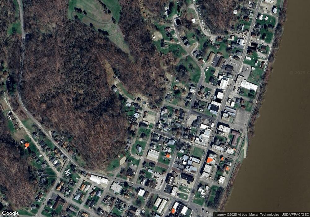
Map
Nearby Homes
Your Personal Tour Guide
Ask me questions while you tour the home.