Estimated Value: $196,000 - $255,000
Studio
--
Bath
1,870
Sq Ft
$121/Sq Ft
Est. Value
About This Home
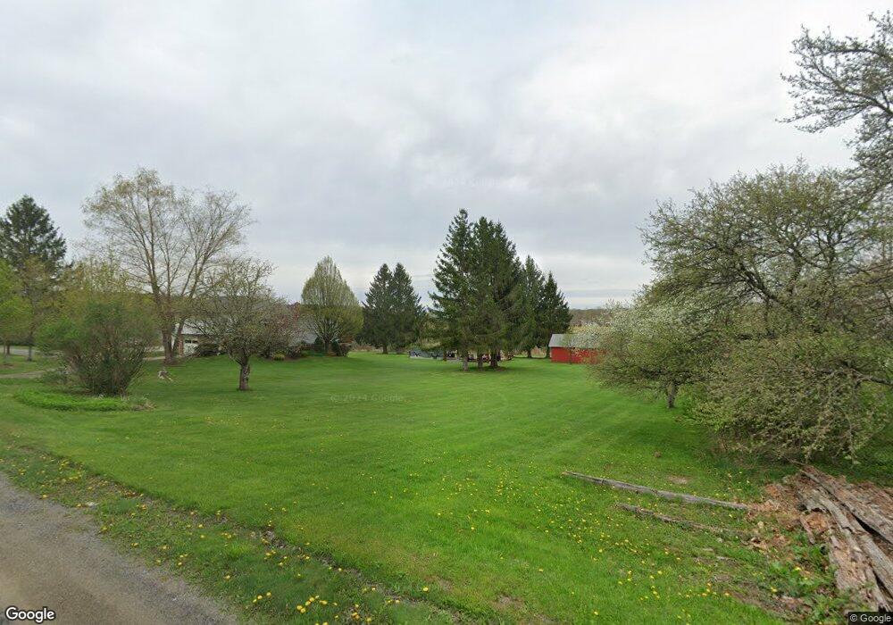
This home is located at 271 Old Smethport Rd, Kane, PA 16735 and is currently estimated at $226,726, approximately $121 per square foot. 271 Old Smethport Rd is a home located in McKean County with nearby schools including Kane Area Elementary School, Kane Area Middle School, and Kane Area High School.
Ownership History
Date
Name
Owned For
Owner Type
Purchase Details
Closed on
Dec 16, 2007
Sold by
Novosel Chuck Steven and Novosel Lidsey M
Bought by
Costanzo Angelo E and Costanzo Michelle
Current Estimated Value
Home Financials for this Owner
Home Financials are based on the most recent Mortgage that was taken out on this home.
Original Mortgage
$147,250
Outstanding Balance
$93,203
Interest Rate
6.3%
Mortgage Type
New Conventional
Estimated Equity
$133,523
Create a Home Valuation Report for This Property
The Home Valuation Report is an in-depth analysis detailing your home's value as well as a comparison with similar homes in the area
Purchase History
| Date | Buyer | Sale Price | Title Company |
|---|---|---|---|
| Costanzo Angelo E | $155,000 | None Available |
Source: Public Records
Mortgage History
| Date | Status | Borrower | Loan Amount |
|---|---|---|---|
| Open | Costanzo Angelo E | $147,250 |
Source: Public Records
Tax History
| Year | Tax Paid | Tax Assessment Tax Assessment Total Assessment is a certain percentage of the fair market value that is determined by local assessors to be the total taxable value of land and additions on the property. | Land | Improvement |
|---|---|---|---|---|
| 2025 | $3,510 | $110,120 | $13,130 | $96,990 |
| 2024 | $3,372 | $110,120 | $13,130 | $96,990 |
| 2023 | $3,372 | $110,120 | $13,130 | $96,990 |
| 2022 | $3,372 | $110,120 | $13,130 | $96,990 |
| 2021 | $3,372 | $110,120 | $13,130 | $96,990 |
| 2020 | $3,372 | $110,120 | $13,130 | $96,990 |
| 2019 | $3,020 | $101,960 | $13,130 | $88,830 |
| 2018 | $30 | $101,960 | $13,130 | $88,830 |
| 2017 | -- | $101,960 | $13,130 | $88,830 |
| 2016 | $2,774 | $101,960 | $13,130 | $88,830 |
| 2015 | $982 | $101,960 | $13,130 | $88,830 |
| 2014 | $982 | $100,750 | $13,130 | $87,620 |
Source: Public Records
Map
Nearby Homes
- 1058 S Settlement Rd
- 1055 S Settlement Rd
- 239 Old Smethport Rd
- 299 Old Smethport Rd
- 234 Old Smethport Rd
- 302 Old Smethport Rd
- 323 Old Smethport Rd
- 1037 S Settlement Rd
- 215 Old Smethport Rd
- 1031 S Settlement Rd
- 192 Old Smethport Rd
- 341 Old Smethport Rd
- 191 Old Smethport Rd
- 11 Greendale Rd
- 41 Greendale Rd
- 370 Old Smethport Rd
- 153 Old Smethport Rd
- 63 Greendale Rd
- 158 Old Smethport Rd
- 16 Greendale Rd
Your Personal Tour Guide
Ask me questions while you tour the home.