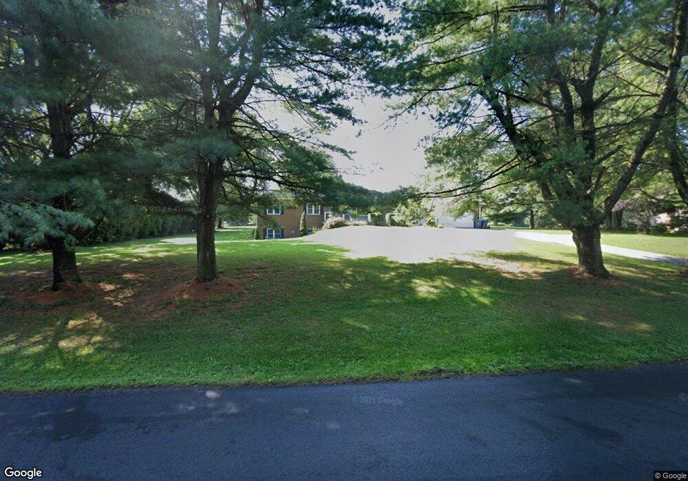
272 Line Rd Kennett Square, PA 19348
Estimated Value: $481,000 - $590,000
4
Beds
2
Baths
1,746
Sq Ft
$306/Sq Ft
Est. Value
About This Home
This home is located at 272 Line Rd, Kennett Square, PA 19348 and is currently estimated at $534,191, approximately $305 per square foot. 272 Line Rd is a home located in Chester County with nearby schools including Kennett Middle School, Kennett High School, and Upland Country Day School.
Ownership History
Date
Name
Owned For
Owner Type
Purchase Details
Closed on
Apr 30, 2018
Sold by
Mcdonald Barbara Jeanne and West Barbara J
Bought by
West Barbara J and West Joseph F
Current Estimated Value
Home Financials for this Owner
Home Financials are based on the most recent Mortgage that was taken out on this home.
Original Mortgage
$144,500
Interest Rate
4.5%
Mortgage Type
New Conventional
Purchase Details
Closed on
Dec 26, 2001
Sold by
Mcdonald Timothy Scott and Mcdonald Barbara Jeanne
Bought by
Mcdonald Barbara Jeanne
Create a Home Valuation Report for This Property
The Home Valuation Report is an in-depth analysis detailing your home's value as well as a comparison with similar homes in the area
Home Values in the Area
Average Home Value in this Area
Purchase History
| Date | Buyer | Sale Price | Title Company |
|---|---|---|---|
| West Barbara J | -- | Servicelink | |
| Mcdonald Barbara Jeanne | -- | -- |
Source: Public Records
Mortgage History
| Date | Status | Borrower | Loan Amount |
|---|---|---|---|
| Closed | West Barbara J | $144,500 |
Source: Public Records
Tax History
| Year | Tax Paid | Tax Assessment Tax Assessment Total Assessment is a certain percentage of the fair market value that is determined by local assessors to be the total taxable value of land and additions on the property. | Land | Improvement |
|---|---|---|---|---|
| 2025 | $6,669 | $166,520 | $58,710 | $107,810 |
| 2024 | $6,669 | $166,520 | $58,710 | $107,810 |
| 2023 | $6,445 | $166,520 | $58,710 | $107,810 |
| 2022 | $6,351 | $166,520 | $58,710 | $107,810 |
| 2021 | $6,287 | $166,520 | $58,710 | $107,810 |
| 2020 | $6,168 | $166,520 | $58,710 | $107,810 |
| 2019 | $6,084 | $166,520 | $58,710 | $107,810 |
| 2018 | $5,989 | $166,520 | $58,710 | $107,810 |
| 2017 | $5,866 | $166,520 | $58,710 | $107,810 |
| 2016 | $660 | $166,520 | $58,710 | $107,810 |
| 2015 | $660 | $166,520 | $58,710 | $107,810 |
| 2014 | $660 | $166,520 | $58,710 | $107,810 |
Source: Public Records
Map
Nearby Homes
- 292 Kestrel Ct
- 104 Deer Creek Crossing
- 256 Line Rd
- 217 Kestrel Ct
- 112 Bancroft Rd
- 13 Tullow Hill Dr
- 11 Tullow Hill Dr
- 15 Tullow Hill Dr
- 9 Tullow Hill Dr
- 14 Tullow Hill Dr
- 000 Tullow Hill Dr Unit CARLTON GRND
- 103 Foragers Ln
- 259 S Thistle Down
- 00 Tullow Hill Dr Unit SUTTON
- 131 Foragers Ln
- 150 Foragers Ln
- 112 Foragers Ln
- 140 Foragers Ln
- 156 Bancroft Rd Unit CARLTON
- 156 Bancroft Rd Unit SGR
- 270 Line Rd
- 274 Line Rd
- 123 Deer Creek Crossing
- 276 Line Rd
- 268 Line Rd
- 101 Deer Creek Crossing
- 266 Line Rd
- 278 Line Rd
- 121 Deer Creek Crossing
- 103 Deer Creek Crossing
- 100 Deer Creek Crossing
- 280 Line Rd
- 297 Kestrel Ct
- 295 Kestrel Ct
- 293 Kestrel Ct
- 264 Line Rd
- 287 Kestrel Ct
- 102 Deer Creek Crossing
- 285 Kestrel Ct
- 130 Deer Creek Crossing
Your Personal Tour Guide
Ask me questions while you tour the home.