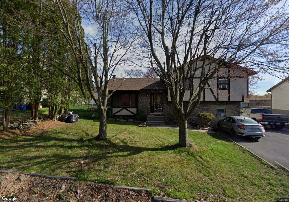
2720 Division St Scranton, PA 18504
West Mountain NeighborhoodEstimated Value: $178,661 - $334,000
Studio
--
Bath
1,629
Sq Ft
$167/Sq Ft
Est. Value
About This Home
This home is located at 2720 Division St, Scranton, PA 18504 and is currently estimated at $272,415, approximately $167 per square foot. 2720 Division St is a home located in Lackawanna County with nearby schools including Isaac Tripp Elementary School, West Scranton Intrmd School, and West Scranton High School.
Ownership History
Date
Name
Owned For
Owner Type
Purchase Details
Closed on
Nov 1, 1996
Bought by
Soulinhavong Khamphanh and Soulinhavong N
Current Estimated Value
Create a Home Valuation Report for This Property
The Home Valuation Report is an in-depth analysis detailing your home's value as well as a comparison with similar homes in the area
Home Values in the Area
Average Home Value in this Area
Purchase History
| Date | Buyer | Sale Price | Title Company |
|---|---|---|---|
| Soulinhavong Khamphanh | $120,000 | -- |
Source: Public Records
Tax History
| Year | Tax Paid | Tax Assessment Tax Assessment Total Assessment is a certain percentage of the fair market value that is determined by local assessors to be the total taxable value of land and additions on the property. | Land | Improvement |
|---|---|---|---|---|
| 2025 | $7,082 | $21,000 | $5,000 | $16,000 |
| 2024 | $6,494 | $21,000 | $5,000 | $16,000 |
| 2023 | $6,494 | $21,000 | $5,000 | $16,000 |
| 2022 | $6,352 | $21,000 | $5,000 | $16,000 |
| 2021 | $6,352 | $21,000 | $5,000 | $16,000 |
| 2020 | $6,239 | $21,000 | $5,000 | $16,000 |
| 2019 | $5,875 | $21,000 | $5,000 | $16,000 |
| 2018 | $5,875 | $21,000 | $5,000 | $16,000 |
| 2017 | $5,777 | $21,000 | $5,000 | $16,000 |
| 2016 | $1,972 | $21,000 | $5,000 | $16,000 |
| 2015 | $4,394 | $21,000 | $5,000 | $16,000 |
| 2014 | -- | $21,000 | $5,000 | $16,000 |
Source: Public Records
Map
Nearby Homes
- 224 Dale Ave
- 310 Dale Ave
- 2749 Jackson St
- 0 Marginal Rd Unit GSBSC253025
- 0 Roanoke Ln Unit GSBSC254856
- 0 Way
- 2712 Lafayette St
- 30 Glinko St
- 6 Bald Mountain Rd Unit C
- 2133 35 Jackson St
- 0 R Luzerne St
- 107 Ridgeview Dr
- 142 S Van Buren Ave
- 1722 1724 Washburn St
- 2016 Price St
- 138-140 S Everett Ave
- 408 17th Ave Unit 410
- 1922 Lafayette St
- 405 17th Ave
- 0 Sekol North L 2 Ave Unit GSBSC260836
- 2730 Division St
- 2710 Division St
- 103 Mary Ann St
- 105 Mary Ann St
- 2700 Division St
- 2748 Division St
- 101 Mary Ann St
- 107 Mary Ann St
- 301 Quay Ave
- 2750 Division St
- 109 Mary Ann St
- 106 Mary Ann St
- 104 Mary Ann St
- 108 Mary Ann St
- 300 Quay Ave Unit BLK
- 318 S Horatio Ave
- 299 Christopher Dr
- 102 Mary Ann St
- 293 Christopher Dr
- 110 Mary Ann St
Your Personal Tour Guide
Ask me questions while you tour the home.