2725 E River Rd Stockport, OH 43787
Estimated Value: $94,000 - $159,000
1
Bed
1
Bath
668
Sq Ft
$176/Sq Ft
Est. Value
About This Home
This home is located at 2725 E River Rd, Stockport, OH 43787 and is currently estimated at $117,470, approximately $175 per square foot. 2725 E River Rd is a home located in Morgan County with nearby schools including Morgan High School.
Ownership History
Date
Name
Owned For
Owner Type
Purchase Details
Closed on
Apr 21, 2010
Sold by
Wimberly Robert and Wimberly Tarry L
Bought by
Lamb Kenneth E and Burgett Edith
Current Estimated Value
Home Financials for this Owner
Home Financials are based on the most recent Mortgage that was taken out on this home.
Original Mortgage
$40,561
Interest Rate
7%
Mortgage Type
Adjustable Rate Mortgage/ARM
Purchase Details
Closed on
Jun 20, 2003
Bought by
Wimberly Robert and Wimberly Terry L
Purchase Details
Closed on
Feb 24, 1999
Sold by
Work Aaron and Work Isobel
Bought by
Bruner Land Company Inc
Create a Home Valuation Report for This Property
The Home Valuation Report is an in-depth analysis detailing your home's value as well as a comparison with similar homes in the area
Purchase History
| Date | Buyer | Sale Price | Title Company |
|---|---|---|---|
| Lamb Kenneth E | $45,000 | None Available | |
| Wimberly Robert | $14,900 | -- | |
| Bruner Land Company Inc | $47,500 | -- |
Source: Public Records
Mortgage History
| Date | Status | Borrower | Loan Amount |
|---|---|---|---|
| Open | Lamb Edith | $34,000 | |
| Previous Owner | Lamb Kenneth E | $40,561 |
Source: Public Records
Tax History
| Year | Tax Paid | Tax Assessment Tax Assessment Total Assessment is a certain percentage of the fair market value that is determined by local assessors to be the total taxable value of land and additions on the property. | Land | Improvement |
|---|---|---|---|---|
| 2025 | $997 | $30,910 | $11,140 | $19,770 |
| 2024 | $997 | $30,910 | $11,140 | $19,770 |
| 2023 | $757 | $23,640 | $9,490 | $14,150 |
| 2022 | $761 | $23,640 | $9,490 | $14,150 |
| 2021 | $769 | $23,640 | $9,490 | $14,150 |
| 2019 | $709 | $20,830 | $8,250 | $12,580 |
| 2018 | $682 | $20,830 | $8,250 | $12,580 |
| 2017 | $586 | $17,448 | $6,160 | $11,288 |
| 2016 | $588 | $17,448 | $6,160 | $11,288 |
| 2015 | $588 | $17,448 | $6,160 | $11,288 |
| 2014 | $607 | $17,448 | $6,160 | $11,288 |
| 2013 | $602 | $17,448 | $6,160 | $11,288 |
Source: Public Records
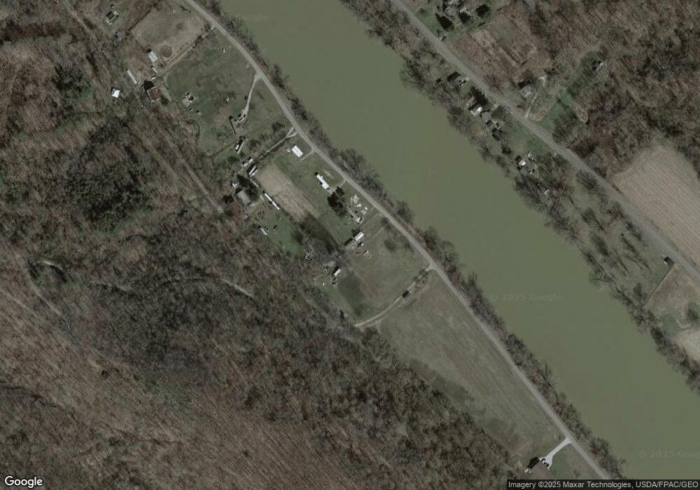
Map
Nearby Homes
- 2308 Ohio 266
- 3924 Webb Ln
- 2 Kosky Dr
- 3440 Market St
- 1960 Broadway St
- 0 Meadow St Unit Lot 9 225008020
- 0 Meadow St Unit Lot 9
- 3445 Meadow St
- 1920 North St
- 1715 South St
- 1575 Main St
- 805 Daugherty Rd
- 2242 S McCoy Ridge Rd
- 1500 S Riverview Rd
- 1500 S Riverview Rd
- 3439 Columbus St
- 75 W State Route 266
- 2050 Ohio 266
- 2050 S State Route 266
- 0 Ohio 377
- 00 E River Rd
- 2439 E State Route 266
- 2439 E Rt 266
- 2439 Ohio 266
- 2433 E State Route 266
- 2481 E State Route 266
- 2431 E State Route 266
- 2449 Ohio 266
- 2465 E State Route 266
- 2470 S State Route 266
- 2805 E River Rd
- 475 E Buckeye Ridge Rd
- 2605 S River Rd
- 2471 E River Rd
- 2311 S State Route 266
- 2441 E River Rd
- 2310 E State Route 266
- 2308 S R 266
- 2355 E River Rd
- 2355 E River Rd
Your Personal Tour Guide
Ask me questions while you tour the home.