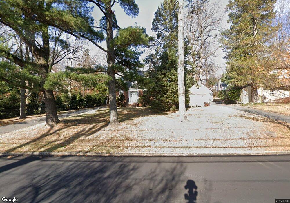
273 Ashland Rd Summit, NJ 07901
Estimated Value: $1,214,426 - $1,826,000
About This Home
This home is located at 273 Ashland Rd, Summit, NJ 07901 and is currently estimated at $1,539,357, approximately $746 per square foot. 273 Ashland Rd is a home located in Union County with nearby schools including L C Johnson Summit Middle School, Summit Sr High School, and Oak Knoll School of the Holy Child.
Ownership History
We collect this data history from publicly available records. To have your information removed, we recommend requesting removal directly through your county’s website.
Purchase Details
Purchase Details
Home Values in the Area
Average Home Value in this Area
Purchase History
We collect this data history from publicly available records. To have your information removed, we recommend requesting removal directly through your county’s website.
| Date | Buyer | Sale Price | Title Company |
|---|---|---|---|
| -- | None Listed On Document | ||
| -- | None Listed On Document | ||
| $173,000 | -- |
Tax History
We collect this data history from publicly available records. To have your information removed, we recommend requesting removal directly through your county’s website.
| Year | Tax Paid | Tax Assessment Tax Assessment Total Assessment is a certain percentage of the fair market value that is determined by local assessors to be the total taxable value of land and additions on the property. | Land | Improvement |
|---|---|---|---|---|
| 2025 | $17,398 | $399,400 | $208,400 | $191,000 |
| 2024 | $17,282 | $399,400 | $208,400 | $191,000 |
| 2023 | $17,282 | $399,400 | $208,400 | $191,000 |
| 2022 | $17,106 | $399,400 | $208,400 | $191,000 |
| 2021 | $17,242 | $399,400 | $208,400 | $191,000 |
| 2020 | $17,414 | $399,400 | $208,400 | $191,000 |
| 2019 | $17,434 | $399,400 | $208,400 | $191,000 |
| 2018 | $17,322 | $399,400 | $208,400 | $191,000 |
| 2017 | $17,434 | $399,400 | $208,400 | $191,000 |
| 2016 | $17,178 | $399,400 | $208,400 | $191,000 |
| 2015 | $16,843 | $399,400 | $208,400 | $191,000 |
| 2014 | $16,407 | $399,400 | $208,400 | $191,000 |
Map
- 18 Kings Hill Ct
- 19 Greenbriar Dr
- 55 Tanglewood Dr
- 29 Knob Hill Dr
- 106 Division Ave
- 28 Club Ln
- 23 Club Dr
- 50 Parkview Terrace
- 18 Colony Dr
- 75 Club Dr
- 167 Mountain Ave
- 2 Colt Rd
- 158 Maple St
- 179 Grant Ave
- 29 Upper Dr
- 718 Springfield Ave
- 27 Pine Grove Ave
- 777 Springfield Ave Unit 1
- 10 Fairview Ave
- 39 Gallinson Dr
Ask me questions while you tour the home.