Estimated Value: $165,000 - $219,000
3
Beds
2
Baths
1,404
Sq Ft
$133/Sq Ft
Est. Value
About This Home
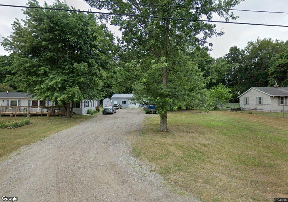
This home is located at 2730 Reynolds St, Niles, MI 49120 and is currently estimated at $186,251, approximately $132 per square foot. 2730 Reynolds St is a home located in Berrien County with nearby schools including Merritt Elementary School, Brandywine Elementary School, and Brandywine Middle School.
Ownership History
Date
Name
Owned For
Owner Type
Purchase Details
Closed on
Nov 4, 2002
Sold by
Hollingsworth Floyd
Bought by
Whitaker Barbara A
Current Estimated Value
Home Financials for this Owner
Home Financials are based on the most recent Mortgage that was taken out on this home.
Original Mortgage
$76,000
Interest Rate
8.25%
Purchase Details
Closed on
Oct 31, 2002
Sold by
Overton Steven A
Bought by
Hollingsworth Floyd and Whitaker Barb
Home Financials for this Owner
Home Financials are based on the most recent Mortgage that was taken out on this home.
Original Mortgage
$76,000
Interest Rate
8.25%
Create a Home Valuation Report for This Property
The Home Valuation Report is an in-depth analysis detailing your home's value as well as a comparison with similar homes in the area
Home Values in the Area
Average Home Value in this Area
Purchase History
| Date | Buyer | Sale Price | Title Company |
|---|---|---|---|
| Whitaker Barbara A | -- | Guarantee Title & Trust Co | |
| Hollingsworth Floyd | -- | Guarantee Title & Trust Co |
Source: Public Records
Mortgage History
| Date | Status | Borrower | Loan Amount |
|---|---|---|---|
| Previous Owner | Whitaker Barbara A | $76,000 |
Source: Public Records
Tax History
| Year | Tax Paid | Tax Assessment Tax Assessment Total Assessment is a certain percentage of the fair market value that is determined by local assessors to be the total taxable value of land and additions on the property. | Land | Improvement |
|---|---|---|---|---|
| 2025 | $1,757 | $83,600 | $0 | $0 |
| 2024 | $891 | $62,200 | $0 | $0 |
| 2023 | $849 | $50,200 | $0 | $0 |
| 2022 | $812 | $57,800 | $0 | $0 |
| 2021 | $1,512 | $61,000 | $8,000 | $53,000 |
| 2020 | $1,497 | $57,600 | $0 | $0 |
| 2019 | $1,425 | $56,300 | $8,000 | $48,300 |
| 2018 | $1,632 | $56,300 | $0 | $0 |
| 2017 | $1,621 | $50,900 | $0 | $0 |
| 2016 | $1,601 | $49,100 | $0 | $0 |
| 2015 | $1,554 | $49,400 | $0 | $0 |
| 2014 | $873 | $43,400 | $0 | $0 |
Source: Public Records
Map
Nearby Homes
- 70700 Ironwood Dr
- 2006 Ontario Rd Unit 141
- 2711 Sugarberry Ln
- 2723 Sugarberry Ln
- 2801 Primrose Ct
- 70955 Ironwood Dr
- 1355 Honeysuckle Ln
- 70668 Edison St
- 2807 S 13th St
- 2428 S 14th St
- VL Fulkerson Rd
- 2420 Floral Dr
- 2325 Fair Oaks St E
- 321 E Bertrand Rd
- 18015 Stone Ridge Dr Unit 14
- 53384 Stone Ridge Dr Unit 18
- 33084 Lake Forest Ct Unit 128
- 2639 S 3rd St
- 19195 Haviland Dr
- 3120 Woodlawn St
- 2738 Reynolds St
- 2724 Reynolds St
- 2718 Reynolds St
- 2727 Reynolds St
- 2723 Reynolds St
- 2714 Reynolds St
- 2746 Reynolds St
- 2719 Reynolds St
- 2741 Reynolds St
- 2715 Reynolds St
- 2712 Reynolds St
- 2745 Reynolds St
- 0 Reynolds St
- 2742 Paul St
- 2746 Paul St
- 2730 Paul St
- 2711 Reynolds St
- 2753 Reynolds St
- 2748 Paul St
- 2729 Inez Ct
Your Personal Tour Guide
Ask me questions while you tour the home.