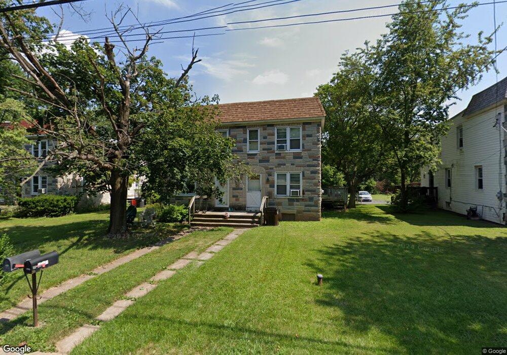
2745 Cowpath Rd Hatfield, PA 19440
Estimated Value: $267,000 - $334,000
3
Beds
1
Bath
1,152
Sq Ft
$262/Sq Ft
Est. Value
About This Home
This home is located at 2745 Cowpath Rd, Hatfield, PA 19440 and is currently estimated at $301,821, approximately $261 per square foot. 2745 Cowpath Rd is a home located in Montgomery County with nearby schools including Hatfield Elementary School, Pennfield Middle School, and North Penn Senior High School.
Ownership History
Date
Name
Owned For
Owner Type
Purchase Details
Closed on
Aug 1, 2011
Sold by
Blythe Andrew J
Bought by
Blythe Marjorie K and Blythe Andrew J
Current Estimated Value
Home Financials for this Owner
Home Financials are based on the most recent Mortgage that was taken out on this home.
Original Mortgage
$137,700
Outstanding Balance
$91,957
Interest Rate
4.51%
Estimated Equity
$209,864
Purchase Details
Closed on
May 26, 2000
Sold by
Schreffler Clarence G and Schreffler Shirley J
Bought by
Blythe Andrew J
Create a Home Valuation Report for This Property
The Home Valuation Report is an in-depth analysis detailing your home's value as well as a comparison with similar homes in the area
Home Values in the Area
Average Home Value in this Area
Purchase History
We collect this data history from publicly available records. To have your information removed, we recommend requesting removal directly through your county’s website.
| Date | Buyer | Sale Price | Title Company |
|---|---|---|---|
| Blythe Marjorie K | -- | None Available | |
| Blythe Andrew J | $97,900 | -- |
Source: Public Records
Mortgage History
We collect this data history from publicly available records. To have your information removed, we recommend requesting removal directly through your county’s website.
| Date | Status | Borrower | Loan Amount |
|---|---|---|---|
| Open | Blythe Marjorie K | $137,700 |
Source: Public Records
Tax History
| Year | Tax Paid | Tax Assessment Tax Assessment Total Assessment is a certain percentage of the fair market value that is determined by local assessors to be the total taxable value of land and additions on the property. | Land | Improvement |
|---|---|---|---|---|
| 2026 | $3,597 | $82,900 | -- | -- |
| 2025 | $3,319 | $82,900 | $35,890 | $47,010 |
| 2024 | $3,319 | $82,900 | $35,890 | $47,010 |
| 2023 | $3,176 | $82,900 | $35,890 | $47,010 |
| 2022 | $3,073 | $82,900 | $35,890 | $47,010 |
| 2021 | $2,986 | $82,900 | $35,890 | $47,010 |
| 2020 | $2,915 | $82,900 | $35,890 | $47,010 |
| 2019 | $2,867 | $82,900 | $35,890 | $47,010 |
| 2018 | $2,867 | $82,900 | $35,890 | $47,010 |
| 2017 | $2,757 | $82,900 | $35,890 | $47,010 |
| 2016 | $2,725 | $82,900 | $35,890 | $47,010 |
| 2015 | $2,616 | $82,900 | $35,890 | $47,010 |
| 2014 | $2,616 | $82,900 | $35,890 | $47,010 |
Source: Public Records
Map
Nearby Homes
- 2721 Cowpath Rd
- 2724 Beech St
- 1949 Overbrook Rd
- 22 Holiday Ave
- 3131 Cowpath Rd
- 334 W Broad St
- 1212 Wright St
- 2821 N Ford Dr
- 29 W Vine St
- 3166 Arbour Green Ct
- 2719 Supplee Cir
- 109 Hickory Dr
- 1717 Lisa Ct
- 2049 Hawthorne Ln
- 0 Fairmount St
- 1106 Hill St
- 1119 Hill St
- 1038 Arthur Dr
- 327 Melbourne Way
- 1306 W Orvilla Rd
- 2743 Cowpath Rd
- 2747 Cowpath Rd
- 2749 Cowpath Rd
- 2741 Cowpath Rd
- 2751 Cowpath Rd
- 2729 Cowpath Rd
- 2727 Cowpath Rd
- 2725 Cowpath Rd
- 2723 Cowpath Rd
- 1949 Poplar Ave
- 2730 Cowpath Rd
- 2719 Cowpath Rd
- 2801 Cowpath Rd
- 2717 Cowpath Rd
- 2728 Cowpath Rd
- 2715 Cowpath Rd
- 2810 Cowpath Rd
- 2722 Cowpath Rd
- 2805 Cowpath Rd
- 2682 Beech St
Your Personal Tour Guide
Ask me questions while you tour the home.