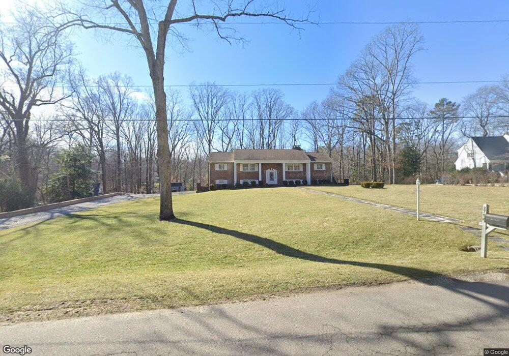
2748 E Brigstock Rd Midlothian, VA 23113
Salisbury NeighborhoodEstimated Value: $727,000 - $845,000
4
Beds
3
Baths
3,159
Sq Ft
$251/Sq Ft
Est. Value
About This Home
This home is located at 2748 E Brigstock Rd, Midlothian, VA 23113 and is currently estimated at $791,979, approximately $250 per square foot. 2748 E Brigstock Rd is a home located in Chesterfield County with nearby schools including Bettie Weaver Elementary School, Midlothian Middle School, and Midlothian High School.
Ownership History
Date
Name
Owned For
Owner Type
Purchase Details
Closed on
May 21, 1996
Sold by
Sweeney Roland L and Hawkins Carolyn
Bought by
Murphy David W and Murphy Betsy J
Current Estimated Value
Home Financials for this Owner
Home Financials are based on the most recent Mortgage that was taken out on this home.
Original Mortgage
$148,000
Outstanding Balance
$8,256
Interest Rate
7.77%
Mortgage Type
Balloon
Estimated Equity
$783,723
Create a Home Valuation Report for This Property
The Home Valuation Report is an in-depth analysis detailing your home's value as well as a comparison with similar homes in the area
Home Values in the Area
Average Home Value in this Area
Purchase History
| Date | Buyer | Sale Price | Title Company |
|---|---|---|---|
| Murphy David W | $205,500 | -- |
Source: Public Records
Mortgage History
| Date | Status | Borrower | Loan Amount |
|---|---|---|---|
| Open | Murphy David W | $148,000 |
Source: Public Records
Tax History
| Year | Tax Paid | Tax Assessment Tax Assessment Total Assessment is a certain percentage of the fair market value that is determined by local assessors to be the total taxable value of land and additions on the property. | Land | Improvement |
|---|---|---|---|---|
| 2025 | $5,534 | $619,000 | $202,700 | $416,300 |
| 2024 | $5,534 | $572,900 | $182,700 | $390,200 |
| 2023 | $4,873 | $535,500 | $177,700 | $357,800 |
| 2022 | $4,615 | $501,600 | $174,700 | $326,900 |
| 2021 | $4,480 | $464,600 | $172,700 | $291,900 |
| 2020 | $4,309 | $453,600 | $172,700 | $280,900 |
| 2019 | $4,309 | $453,600 | $172,700 | $280,900 |
| 2018 | $4,181 | $440,100 | $171,000 | $269,100 |
| 2017 | $4,044 | $421,300 | $170,000 | $251,300 |
| 2016 | $4,060 | $422,900 | $170,000 | $252,900 |
| 2015 | $3,903 | $404,000 | $170,000 | $234,000 |
| 2014 | $3,829 | $396,300 | $170,000 | $226,300 |
Source: Public Records
Map
Nearby Homes
- 2911 Vistapoint Rd
- 2540 Kentford Rd
- 3230 Queens Grant Dr
- 2530 Whitecastle Dr
- 3306 Kings Farm Dr
- 14335 Lander Rd
- 13311 Glendower Rd
- 521 Bel Crest Terrace
- 2121 Christendom Dr
- 1813 Gildenborough Ct
- 453 Bel Bridge Cir
- 2711 Salisbury Rd
- 13637 Langford Dr
- 2307 Latham Place
- 2560 Chartstone Dr
- 3607 Rivermist Terrace
- 16126 Founders Bridge Terrace
- 2213 Founders Bridge Rd
- 536 Totten Dr
- 14420 Michaux Village Dr
- 2756 E Brigstock Rd
- 2740 E Brigstock Rd
- 2762 E Brigstock Rd
- 2751 E Brigstock Rd
- 2741 E Brigstock Rd
- 2730 E Brigstock Rd
- 2761 E Brigstock Rd
- 2731 E Brigstock Rd
- 2772 E Brigstock Rd
- 2771 E Brigstock Rd
- 2790 E Brigstock Rd
- 2716 E Brigstock Rd
- 2851 W Brigstock Rd
- 13831 Grey Friars Ln
- 2831 W Brigstock Rd
- 2861 W Brigstock Rd
- 2841 W Brigstock Rd
- 13841 Grey Friars Ln
- 2721 E Brigstock Rd
- 2729 W Brigstock Rd
Your Personal Tour Guide
Ask me questions while you tour the home.