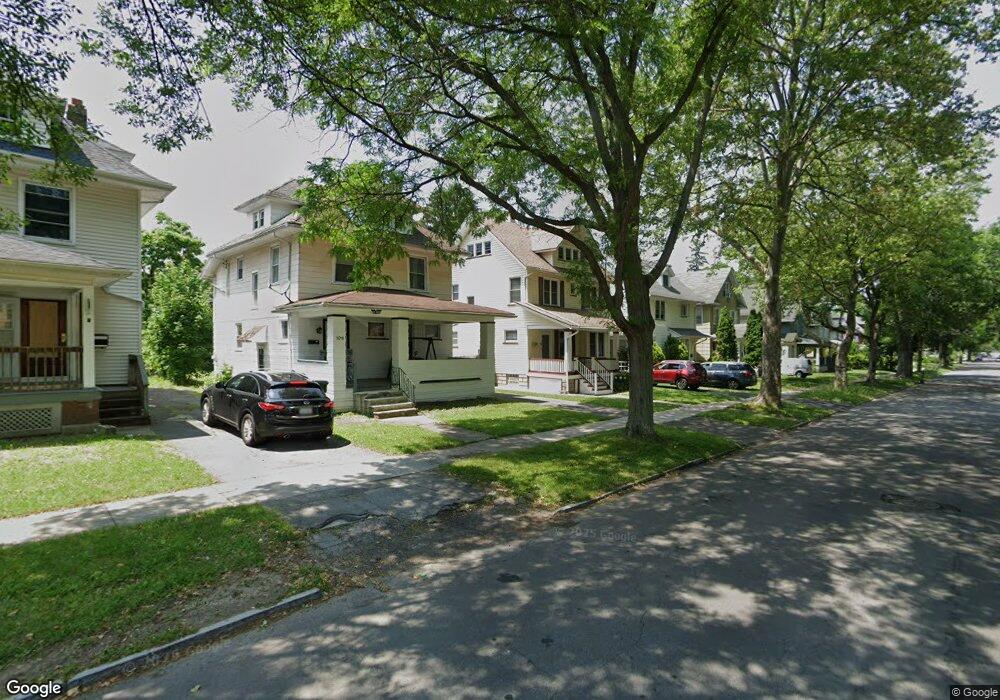
275 Post Ave Rochester, NY 14619
19th Ward NeighborhoodEstimated Value: $143,000 - $160,863
3
Beds
2
Baths
1,430
Sq Ft
$109/Sq Ft
Est. Value
About This Home
This home is located at 275 Post Ave, Rochester, NY 14619 and is currently estimated at $155,216, approximately $108 per square foot. 275 Post Ave is a home located in Monroe County with nearby schools including John Walton Spencer School No. 16, George Mather Forbes School No. 4, and School 19 Dr Charles T Lunsford.
Ownership History
Date
Name
Owned For
Owner Type
Purchase Details
Closed on
May 3, 2015
Sold by
Clarke Robert
Bought by
Clarke Robetr
Current Estimated Value
Purchase Details
Closed on
Apr 19, 2013
Sold by
Cooman William J and Cooman Lynn
Bought by
Inman James L and Inman Heather A
Purchase Details
Closed on
Nov 17, 1999
Sold by
City Of Rochester
Bought by
Robert Clarke
Purchase Details
Closed on
Feb 3, 1999
Purchase Details
Closed on
Sep 4, 1996
Purchase Details
Closed on
Sep 16, 1994
Sold by
Hud
Bought by
Wake Richard
Create a Home Valuation Report for This Property
The Home Valuation Report is an in-depth analysis detailing your home's value as well as a comparison with similar homes in the area
Home Values in the Area
Average Home Value in this Area
Purchase History
| Date | Buyer | Sale Price | Title Company |
|---|---|---|---|
| Clarke Robetr | -- | None Available | |
| Inman James L | $32,900 | None Available | |
| Robert Clarke | $25,540 | -- | |
| City Of Rochester | $31,000 | -- | |
| -- | $68,000 | -- | |
| -- | -- | -- | |
| Wake Richard | $36,500 | -- |
Source: Public Records
Tax History
| Year | Tax Paid | Tax Assessment Tax Assessment Total Assessment is a certain percentage of the fair market value that is determined by local assessors to be the total taxable value of land and additions on the property. | Land | Improvement |
|---|---|---|---|---|
| 2025 | $738 | $128,500 | $10,600 | $117,900 |
| 2024 | $738 | $128,500 | $10,600 | $117,900 |
| 2023 | $917 | $82,800 | $7,500 | $75,300 |
| 2022 | $1,017 | $82,800 | $7,500 | $75,300 |
| 2021 | $1,044 | $82,800 | $7,500 | $75,300 |
| 2020 | $902 | $82,800 | $7,500 | $75,300 |
| 2019 | $862 | $63,000 | $7,500 | $55,500 |
| 2018 | $1,441 | $63,000 | $7,500 | $55,500 |
| 2017 | $0 | $63,000 | $7,500 | $55,500 |
| 2016 | $862 | $63,000 | $7,500 | $55,500 |
| 2015 | $1,421 | $61,000 | $7,500 | $53,500 |
| 2014 | $1,421 | $61,000 | $7,500 | $53,500 |
Source: Public Records
Map
Nearby Homes
- 515 Arnett Blvd
- 305 Aldine St
- 381 Arnett Blvd Unit 2
- 80 Post Ave
- 431 Post Ave
- 75 Sherwood Ave Unit 2
- 58 Post Ave
- 167 Salina St
- 51 Sherwood Ave Unit 55
- 50 Sherwood Ave
- 288 Elmdorf Ave
- 148-150 Flanders St
- 179 Warwick Ave
- 163-165 Warwick Ave
- 316 Ravenwood Ave
- 174 Gardiner Ave
- 62 Normandy Ave
- 145 Devonshire Ct
- 211 Wellington Ave
- 14 Burlington Ave
Your Personal Tour Guide
Ask me questions while you tour the home.