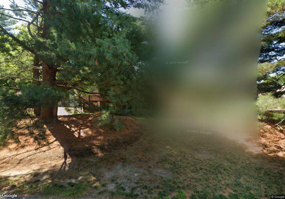
275 Trailside Way Ashland, MA 01721
Estimated Value: $336,000 - $427,000
1
Bed
1
Bath
1,122
Sq Ft
$329/Sq Ft
Est. Value
About This Home
This home is located at 275 Trailside Way, Ashland, MA 01721 and is currently estimated at $369,631, approximately $329 per square foot. 275 Trailside Way is a home located in Middlesex County with nearby schools including William Pittaway Elementary School, Henry E. Warren Elementary School, and David Mindess Elementary School.
Ownership History
Date
Name
Owned For
Owner Type
Purchase Details
Closed on
Aug 8, 2017
Sold by
Gibb June A
Bought by
Gibb Stephan J
Current Estimated Value
Purchase Details
Closed on
May 3, 1993
Sold by
Seto Donald K and Seto Victoria M
Bought by
Gibb June A
Purchase Details
Closed on
Jun 30, 1988
Sold by
Levin Harriet L
Bought by
Defilippo Elaine M
Home Financials for this Owner
Home Financials are based on the most recent Mortgage that was taken out on this home.
Original Mortgage
$94,000
Interest Rate
10.47%
Mortgage Type
Purchase Money Mortgage
Create a Home Valuation Report for This Property
The Home Valuation Report is an in-depth analysis detailing your home's value as well as a comparison with similar homes in the area
Home Values in the Area
Average Home Value in this Area
Purchase History
| Date | Buyer | Sale Price | Title Company |
|---|---|---|---|
| Gibb Stephan J | -- | -- | |
| Gibb June A | $85,000 | -- | |
| Defilippo Elaine M | $125,900 | -- |
Source: Public Records
Mortgage History
| Date | Status | Borrower | Loan Amount |
|---|---|---|---|
| Previous Owner | Defilippo Elaine M | $94,000 |
Source: Public Records
Tax History
| Year | Tax Paid | Tax Assessment Tax Assessment Total Assessment is a certain percentage of the fair market value that is determined by local assessors to be the total taxable value of land and additions on the property. | Land | Improvement |
|---|---|---|---|---|
| 2025 | $4,499 | $352,300 | $0 | $352,300 |
| 2024 | $4,337 | $327,600 | $0 | $327,600 |
| 2023 | $4,318 | $313,600 | $0 | $313,600 |
| 2022 | $4,203 | $264,700 | $0 | $264,700 |
| 2021 | $4,039 | $253,536 | $0 | $253,536 |
| 2020 | $3,846 | $238,000 | $0 | $238,000 |
| 2019 | $3,656 | $224,600 | $0 | $224,600 |
| 2018 | $3,583 | $215,700 | $0 | $215,700 |
| 2017 | $3,529 | $211,300 | $0 | $211,300 |
| 2016 | $3,478 | $204,600 | $0 | $204,600 |
| 2015 | $3,193 | $184,592 | $0 | $184,592 |
| 2014 | $3,132 | $180,100 | $0 | $180,100 |
Source: Public Records
Map
Nearby Homes
- 89 Trailside Way
- 73 Trailside Way
- 111 Leland Farm Rd
- 112 Meeting House Path Unit 112
- 152 Turner Rd Unit 3
- 9 Adams Ln Unit 9
- 207 Eliot St
- 196 Algonquin Trail Unit 196
- 57 Carriage House Path
- 44 Carriage House Path
- 73 Half Crown Cir
- 168 Westfield Dr
- 5 Whitney St
- 262 Captain Eames Cir
- 162 Western Ave
- 44 Temi Rd
- 107 Dorset Rd
- 20 Mulhall Dr
- 125 America Blvd
- 291 America Blvd Unit 291
- 273 Trailside Way
- 283 Trailside Way
- 279 Trailside Way
- 283 Trailside Way
- 279 Trailside Way Unit 279
- 287 Trailside Way
- 285 Trailside Way
- 281 Trailside Way
- 277 Trailside Way
- 310 Trailside Way
- 312 Trailside Way
- 312 Trailside Way Unit 312
- 314 Trailside Way
- 271 Trailside Way
- 267 Trailside Way
- 263 Trailside Way
- 259 Trailside Way
- 257 Trailside Way
- 261 Trailside Way
- 265 Trailside Way
Your Personal Tour Guide
Ask me questions while you tour the home.