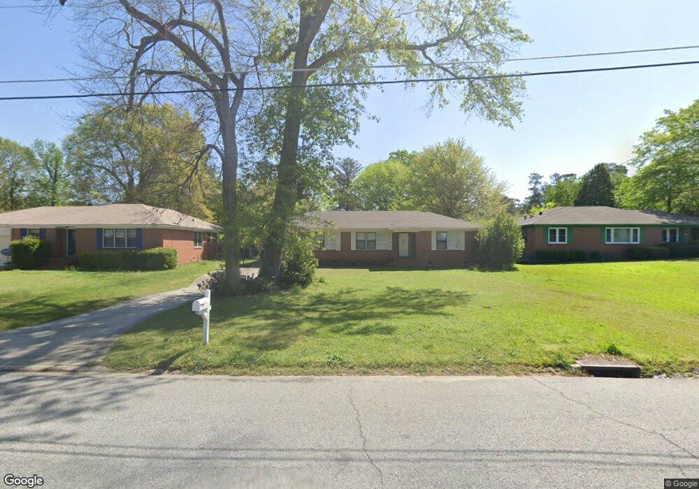
2750 Kent Dr Macon, GA 31206
Estimated Value: $90,000 - $111,000
3
Beds
2
Baths
1,234
Sq Ft
$83/Sq Ft
Est. Value
About This Home
This home is located at 2750 Kent Dr, Macon, GA 31206 and is currently estimated at $102,401, approximately $82 per square foot. 2750 Kent Dr is a home located in Bibb County with nearby schools including Hartley Elementary School, Southwest High School, and Cirrus Charter Academy.
Ownership History
Date
Name
Owned For
Owner Type
Purchase Details
Closed on
Dec 19, 2018
Sold by
Harley Jack and Harley Glenna
Bought by
Colt Properties Llc
Current Estimated Value
Purchase Details
Closed on
Jul 27, 2011
Sold by
Harley Jack
Bought by
Harley Jack and Harley Glenna
Purchase Details
Closed on
Jul 18, 2011
Sold by
Navy Federal Credit Union
Bought by
Harley Jack
Purchase Details
Closed on
Feb 1, 2011
Sold by
Barber Daryl A
Bought by
Navy Federal Credit Union
Purchase Details
Closed on
Dec 8, 2004
Bought by
Barber Daryl
Purchase Details
Closed on
Dec 1, 2004
Create a Home Valuation Report for This Property
The Home Valuation Report is an in-depth analysis detailing your home's value as well as a comparison with similar homes in the area
Purchase History
| Date | Buyer | Sale Price | Title Company |
|---|---|---|---|
| Colt Properties Llc | $12,000 | None Available | |
| Harley Jack | -- | None Available | |
| Harley Jack | $18,000 | None Available | |
| Navy Federal Credit Union | $39,100 | None Available | |
| Barber Daryl | $64,600 | -- | |
| -- | $56,600 | -- |
Source: Public Records
Tax History
| Year | Tax Paid | Tax Assessment Tax Assessment Total Assessment is a certain percentage of the fair market value that is determined by local assessors to be the total taxable value of land and additions on the property. | Land | Improvement |
|---|---|---|---|---|
| 2025 | $920 | $37,426 | $4,960 | $32,466 |
| 2024 | $951 | $37,426 | $4,960 | $32,466 |
| 2023 | $862 | $33,948 | $4,960 | $28,988 |
| 2022 | $889 | $25,669 | $3,873 | $21,796 |
| 2021 | $743 | $19,557 | $2,951 | $16,606 |
| 2020 | $569 | $14,668 | $2,213 | $12,455 |
| 2019 | $470 | $14,668 | $2,213 | $12,455 |
| 2018 | $824 | $10,737 | $2,213 | $8,524 |
| 2017 | $402 | $10,737 | $2,213 | $8,524 |
| 2016 | $371 | $10,737 | $2,213 | $8,524 |
| 2015 | $506 | $12,158 | $2,213 | $9,945 |
| 2014 | $239 | $12,158 | $2,213 | $9,945 |
Source: Public Records
Map
Nearby Homes
- 1801 Winston Dr
- 1792 Winston Dr
- 2509 Kent Dr
- 3357 Placid Place
- 1748 Timark Dr
- 1748 Timark Dr
- 3403 Tamplin Terrace
- 3446 Tamplin Terrace
- 3445 Travis Blvd
- 1545 Anthony Rd
- 2445 Adams Ave
- 815 Edwards Ave
- 3480 Travis Blvd
- 2420 Adams Ave
- 1049 Anthony Rd
- 1323 Crawford St
- 742 Grayson Ave
- 736 Key St
- 1066 Jessamine St
- 1196 Harley St
- 2740 Kent Dr
- 2806 Kent Dr
- 1596 Berkshire Dr
- 2730 Kent Dr
- 2814 Kent Dr
- 1582 Berkshire Dr
- 1606 Berkshire Dr
- 2737 Kent Dr
- 1574 Berkshire Dr
- 2809 Kent Dr
- 1620 Berkshire Dr
- 2722 Kent Dr
- 2822 Kent Dr
- 1562 Berkshire Dr
- 2821 Kent Dr
- 1638 Berkshire Dr
- 2723 Kent Dr
- 2830 Kent Dr
- 1644 Westbury Dr
- 1716 Lancaster Place
Your Personal Tour Guide
Ask me questions while you tour the home.