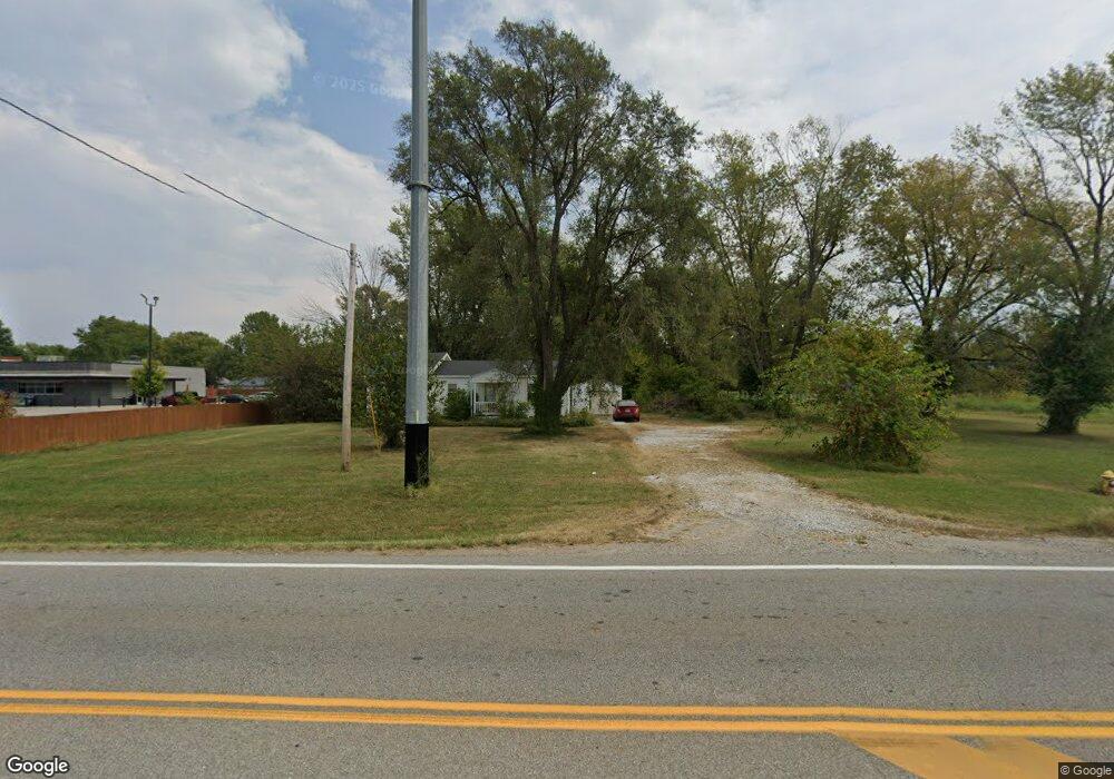
2756 N Brookline Ave Brookline, MO 65619
Estimated Value: $152,000 - $231,000
2
Beds
2
Baths
1,200
Sq Ft
$154/Sq Ft
Est. Value
About This Home
This home is located at 2756 N Brookline Ave, Brookline, MO 65619 and is currently estimated at $184,438, approximately $153 per square foot. 2756 N Brookline Ave is a home located in Greene County with nearby schools including Price Elementary School, Republic Middle School, and Republic High School.
Ownership History
Date
Name
Owned For
Owner Type
Purchase Details
Closed on
Oct 17, 2025
Sold by
City Of Republic
Bought by
Missouri Highways And Transportation Commissi
Current Estimated Value
Purchase Details
Closed on
Jul 14, 2025
Sold by
Roy Robert H and Robinson Clate
Bought by
Missouri Highways And Transportation Commissi
Create a Home Valuation Report for This Property
The Home Valuation Report is an in-depth analysis detailing your home's value as well as a comparison with similar homes in the area
Home Values in the Area
Average Home Value in this Area
Purchase History
| Date | Buyer | Sale Price | Title Company |
|---|---|---|---|
| Missouri Highways And Transportation Commissi | $370,000 | None Listed On Document | |
| Missouri Highways And Transportation Commissi | -- | None Listed On Document | |
| Missouri Highways And Transportation Commissi | $8,300 | None Listed On Document |
Source: Public Records
Tax History
| Year | Tax Paid | Tax Assessment Tax Assessment Total Assessment is a certain percentage of the fair market value that is determined by local assessors to be the total taxable value of land and additions on the property. | Land | Improvement |
|---|---|---|---|---|
| 2025 | $627 | $11,800 | $2,660 | $9,140 |
| 2024 | $610 | $10,920 | $2,410 | $8,510 |
| 2023 | $598 | $10,920 | $2,410 | $8,510 |
| 2022 | $602 | $10,940 | $2,410 | $8,530 |
| 2021 | $599 | $10,940 | $2,410 | $8,530 |
| 2020 | $600 | $10,790 | $2,410 | $8,380 |
| 2019 | $598 | $10,790 | $2,410 | $8,380 |
| 2018 | $648 | $11,300 | $2,410 | $8,890 |
| 2017 | $643 | $10,830 | $2,410 | $8,420 |
| 2016 | $623 | $10,830 | $2,410 | $8,420 |
| 2015 | $620 | $10,830 | $2,410 | $8,420 |
| 2014 | $599 | $10,370 | $2,410 | $7,960 |
Source: Public Records
Map
Nearby Homes
- 3974 E Wilson's Valley Blvd
- 5265 S Morgan
- 2405 S Farm Road 107
- 1763 N Boxwood Dr
- 1755 N Boxwood Dr
- 4074 E Ashwood Ct
- 1750 N Boxwood Dr
- 1739 N Knollwood Ave
- 1758 N Boxwood Dr
- 1722 N Hawthorne Place
- 1742 N Boxwood Dr
- 1730 N Poplar Way
- 1746 N Poplar Way
- 1738 N Poplar Way
- 1754 N Poplar Way
- 3905 E Linden Ln
- 1726 N Boxwood Dr
- 1718 N Boxwood Dr
- 1702 N Boxwood Dr
- 4082 E Ashwood Ct
- 6620 W Washington St
- 2804 N Brookline Ave
- 2978 S State Highway Mm
- 2738 N Brookline Ave
- 6624 W Washington St
- 2749 N Atlantic St
- 2749 N Atlantic St
- 2787 N Atlantic Ave
- 3390 E Haile St
- 2703 N Atlantic St
- 3402 E Haile St
- 2752 S Atlantic St
- 3375 E Haile St
- 3404 E Benton St
- 2752 N Atlantic St
- 2794 S Atlantic St
- 2794 N Atlantic St
- 2794 N Atlantic St
- 3401 E Haile St
- 0 W Washington Ave
Your Personal Tour Guide
Ask me questions while you tour the home.