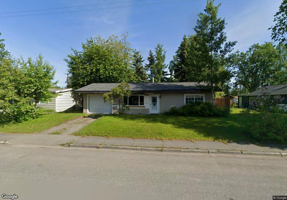
2757 E 17th Ave Anchorage, AK 99508
Airport Heights NeighborhoodEstimated Value: $140,000 - $337,000
2
Beds
1
Bath
804
Sq Ft
$301/Sq Ft
Est. Value
About This Home
This home is located at 2757 E 17th Ave, Anchorage, AK 99508 and is currently estimated at $241,825, approximately $300 per square foot. 2757 E 17th Ave is a home located in Anchorage Municipality with nearby schools including Airport Heights Elementary School, Wendler Middle School, and Bettye Davis East Anchorage High School.
Ownership History
Date
Name
Owned For
Owner Type
Purchase Details
Closed on
Jul 7, 2017
Sold by
Bristow Jeffrey R
Bought by
White Michaeljohn Peter
Current Estimated Value
Home Financials for this Owner
Home Financials are based on the most recent Mortgage that was taken out on this home.
Original Mortgage
$220,400
Outstanding Balance
$182,531
Interest Rate
3.95%
Mortgage Type
New Conventional
Estimated Equity
$59,294
Purchase Details
Closed on
May 14, 2009
Sold by
Bruce Patricia Ann
Bought by
Bristow Jeffrey R
Home Financials for this Owner
Home Financials are based on the most recent Mortgage that was taken out on this home.
Original Mortgage
$171,120
Interest Rate
4.71%
Mortgage Type
Purchase Money Mortgage
Create a Home Valuation Report for This Property
The Home Valuation Report is an in-depth analysis detailing your home's value as well as a comparison with similar homes in the area
Home Values in the Area
Average Home Value in this Area
Purchase History
| Date | Buyer | Sale Price | Title Company |
|---|---|---|---|
| White Michaeljohn Peter | -- | Fidelity Title Agency Ak Llc | |
| Bristow Jeffrey R | -- | Atga |
Source: Public Records
Mortgage History
| Date | Status | Borrower | Loan Amount |
|---|---|---|---|
| Open | White Michaeljohn Peter | $220,400 | |
| Previous Owner | Bristow Jeffrey R | $171,120 |
Source: Public Records
Tax History
| Year | Tax Paid | Tax Assessment Tax Assessment Total Assessment is a certain percentage of the fair market value that is determined by local assessors to be the total taxable value of land and additions on the property. | Land | Improvement |
|---|---|---|---|---|
| 2025 | $3,164 | $285,900 | $91,300 | $194,600 |
| 2024 | $3,164 | $271,000 | $91,300 | $179,700 |
| 2023 | $4,191 | $246,100 | $91,300 | $154,800 |
| 2022 | $3,286 | $243,900 | $91,300 | $152,600 |
| 2021 | $3,948 | $219,100 | $91,300 | $127,800 |
| 2020 | $3,016 | $222,100 | $91,300 | $130,800 |
| 2019 | $2,857 | $218,300 | $91,300 | $127,000 |
| 2018 | $2,864 | $218,300 | $91,300 | $127,000 |
| 2017 | $3,448 | $220,200 | $91,300 | $128,900 |
| 2016 | $3,042 | $206,500 | $78,800 | $127,700 |
| 2015 | $3,042 | $203,800 | $78,800 | $125,000 |
| 2014 | $3,042 | $200,500 | $75,500 | $125,000 |
Source: Public Records
Map
Nearby Homes
- 1701 Aleutian St
- 1703 Alder Dr
- 1811 Talkeetna St
- 1806 Thunderbird Place
- 1923 Talkeetna St
- 1755 Eastridge Dr
- 3215 E 18th Cir
- 2211 Daybreak Ct
- 1783 Morningtide Ct
- 2145 Dawnlight Ct
- 1524 Rosemary St
- 000 Tr A Thurston
- 3463 E 20th Ave Unit 34
- 3514 E 19th Ave
- 3535 E 19th Ave
- 1536 Valarian St
- 2228 Sorbus Way
- 2107 Sorbus Way
- 1417 Primrose St
- 2518 Crestwood St
- 2749 E 17th Ave
- 1648 Alder Dr
- 2734 Kobuk Ct
- 2739 E 17th Ave
- 2724 Kobuk Ct
- 1628 Alder Dr
- 2762 E 17th Ave
- 2748 E 17th Ave
- 2712 Kobuk Ct
- 2729 E 17th Ave
- 2708 Kobuk Ct
- 1736 Alder Dr
- 1737 Kuskokwim St
- 1649 Alder Dr
- 2719 E 17th Ave
- 1637 Alder Dr
- 2718 E 17th Ave
- 1746 Alder Dr
- 1747 Kuskokwim St
- 1715 Alder Dr
Your Personal Tour Guide
Ask me questions while you tour the home.