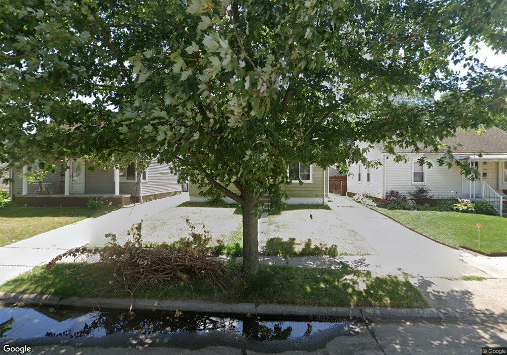
2759 David St Unit Bldg-Unit Melvindale, MI 48122
Estimated Value: $102,000 - $147,102
About This Home
This home is located at 2759 David St Unit Bldg-Unit, Melvindale, MI 48122 and is currently estimated at $121,776, approximately $167 per square foot. 2759 David St Unit Bldg-Unit is a home located in Wayne County with nearby schools including Rogers Early Elementary School, Allendale Elementary School, and Julian O. Strong Middle School.
Ownership History
We collect this data history from publicly available records. To have your information removed, we recommend requesting removal directly through your county’s website.
Purchase Details
Purchase Details
Purchase Details
Purchase Details
Purchase Details
Home Values in the Area
Average Home Value in this Area
Purchase History
We collect this data history from publicly available records. To have your information removed, we recommend requesting removal directly through your county’s website.
| Date | Buyer | Sale Price | Title Company |
|---|---|---|---|
| $40,000 | None Listed On Document | ||
| $35,000 | None Available | ||
| $33,500 | Carrington Title Services Ll | ||
| $23,000 | None Available | ||
| $93,600 | Multiple |
Tax History
We collect this data history from publicly available records. To have your information removed, we recommend requesting removal directly through your county’s website.
| Year | Tax Paid | Tax Assessment Tax Assessment Total Assessment is a certain percentage of the fair market value that is determined by local assessors to be the total taxable value of land and additions on the property. | Land | Improvement |
|---|---|---|---|---|
| 2025 | $2,559 | $54,300 | $0 | $0 |
| 2024 | $2,484 | $46,500 | $0 | $0 |
| 2023 | $1,208 | $40,600 | $0 | $0 |
| 2022 | $1,941 | $36,500 | $0 | $0 |
| 2021 | $1,881 | $32,600 | $0 | $0 |
| 2020 | $1,870 | $25,600 | $0 | $0 |
| 2019 | $1,754 | $22,100 | $0 | $0 |
| 2018 | $1,187 | $21,700 | $0 | $0 |
| 2017 | $1,030 | $22,100 | $0 | $0 |
| 2016 | $2,440 | $20,900 | $0 | $0 |
| 2015 | $1,910 | $19,200 | $0 | $0 |
| 2013 | $1,860 | $19,500 | $0 | $0 |
| 2012 | $3,208 | $19,000 | $2,900 | $16,100 |
Map
Ask me questions while you tour the home.