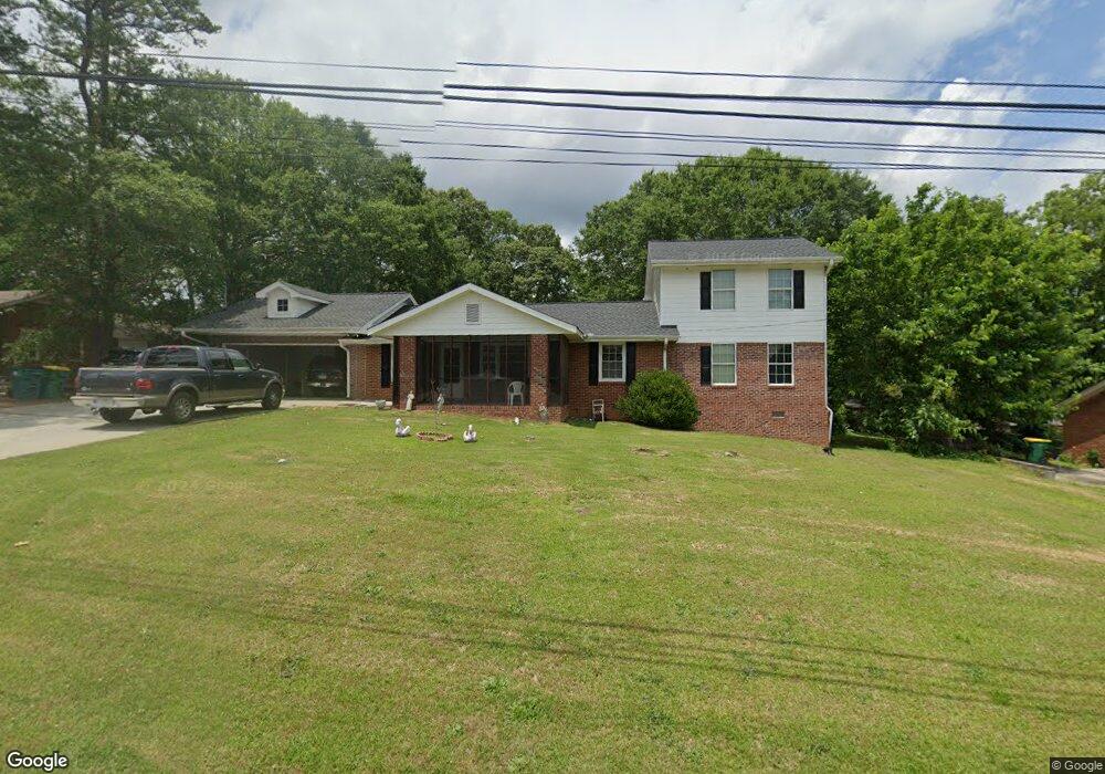
277 Springdale Dr Winder, GA 30680
Estimated Value: $273,000 - $348,000
5
Beds
2
Baths
1,888
Sq Ft
$159/Sq Ft
Est. Value
About This Home
This home is located at 277 Springdale Dr, Winder, GA 30680 and is currently estimated at $300,922, approximately $159 per square foot. 277 Springdale Dr is a home located in Barrow County with nearby schools including County Line Elementary School, Russell Middle School, and Winder-Barrow High School.
Ownership History
Date
Name
Owned For
Owner Type
Purchase Details
Closed on
Aug 12, 2005
Sold by
Steele David S
Bought by
Evans Dennis G
Current Estimated Value
Home Financials for this Owner
Home Financials are based on the most recent Mortgage that was taken out on this home.
Original Mortgage
$92,444
Outstanding Balance
$47,487
Interest Rate
5.61%
Mortgage Type
VA
Estimated Equity
$253,435
Purchase Details
Closed on
Jul 31, 1987
Bought by
Jackson L G
Create a Home Valuation Report for This Property
The Home Valuation Report is an in-depth analysis detailing your home's value as well as a comparison with similar homes in the area
Home Values in the Area
Average Home Value in this Area
Purchase History
| Date | Buyer | Sale Price | Title Company |
|---|---|---|---|
| Evans Dennis G | $93,900 | -- | |
| Jackson L G | $35,000 | -- |
Source: Public Records
Mortgage History
| Date | Status | Borrower | Loan Amount |
|---|---|---|---|
| Open | Evans Dennis G | $92,444 |
Source: Public Records
Tax History
| Year | Tax Paid | Tax Assessment Tax Assessment Total Assessment is a certain percentage of the fair market value that is determined by local assessors to be the total taxable value of land and additions on the property. | Land | Improvement |
|---|---|---|---|---|
| 2025 | $810 | $88,385 | $18,000 | $70,385 |
| 2024 | $2,125 | $86,265 | $18,000 | $68,265 |
| 2023 | $1,446 | $77,387 | $18,000 | $59,387 |
| 2022 | $2,263 | $75,011 | $18,000 | $57,011 |
| 2021 | $1,912 | $59,848 | $12,000 | $47,848 |
| 2020 | $1,858 | $59,848 | $12,000 | $47,848 |
| 2019 | $1,881 | $59,848 | $12,000 | $47,848 |
| 2018 | $1,710 | $53,150 | $12,000 | $41,150 |
| 2017 | $1,252 | $41,960 | $12,000 | $29,960 |
| 2016 | $1,284 | $41,960 | $12,000 | $29,960 |
| 2015 | $1,285 | $41,960 | $12,000 | $29,960 |
| 2014 | $1,059 | $35,840 | $5,880 | $29,960 |
| 2013 | -- | $33,756 | $5,880 | $27,876 |
Source: Public Records
Map
Nearby Homes
- 281 Springdale Dr
- 273 Partridge Trail
- 171 Brookview Terrace
- 280 Courtyard Cir
- 221 Highway 211 NW
- 0 Bill Rutledge Rd Unit 7630436
- 0 Bill Rutledge Rd Unit 10591503
- 223 N 5th Ave
- 150 Sims St
- 21 Duke Cir
- 294 Cedar Creek Rd NW
- 33 Steelwood Dr
- 98 Cannondale Dr
- 436 Northcrest Dr
- 236 6th Ave
- 18 Steelwood Ct
- 80 Garrison Dr
- 72 Garrison Dr
- 14 Cannondale Dr
- 49 Cannondale Dr
- 271 Springdale Dr
- 278 Holly Dr
- 272 Holly Dr
- 287 Springdale Dr
- 267 Springdale Dr Unit 13
- 267 Springdale Dr
- 284 Holly Dr
- 290 Springdale Dr Unit 3
- 290 Springdale Dr
- 268 Holly Dr
- 291 Springdale Dr
- 261 Springdale Dr
- 279 Holly Dr
- 273 Holly Dr
- 285 Holly Dr
- 277 Apperson Dr Unit 5
- 277 Apperson Dr
- 257 Springdale Dr
- 269 Holly Dr
- 291 Apperson Dr Unit 1
Your Personal Tour Guide
Ask me questions while you tour the home.