279 Bates Rd Cochran, GA 31014
Estimated Value: $189,000 - $380,000
3
Beds
2
Baths
2,432
Sq Ft
$109/Sq Ft
Est. Value
About This Home
This home is located at 279 Bates Rd, Cochran, GA 31014 and is currently estimated at $264,857, approximately $108 per square foot. 279 Bates Rd is a home located in Bleckley County with nearby schools including Bleckley County Primary School, Bleckley County Elementary School, and Bleckley Middle School.
Ownership History
Date
Name
Owned For
Owner Type
Purchase Details
Closed on
May 15, 2008
Sold by
Warnock Terrence L
Bought by
Thompson Stanley G
Current Estimated Value
Home Financials for this Owner
Home Financials are based on the most recent Mortgage that was taken out on this home.
Original Mortgage
$70,000
Interest Rate
5.86%
Mortgage Type
New Conventional
Purchase Details
Closed on
Mar 18, 1998
Sold by
Kroesser Erma Jean
Bought by
Thompson Stanley G
Purchase Details
Closed on
Feb 20, 1980
Sold by
Kroesser John
Bought by
Kroesser Erma Jean
Create a Home Valuation Report for This Property
The Home Valuation Report is an in-depth analysis detailing your home's value as well as a comparison with similar homes in the area
Home Values in the Area
Average Home Value in this Area
Purchase History
We collect this data history from publicly available records. To have your information removed, we recommend requesting removal directly through your county’s website.
| Date | Buyer | Sale Price | Title Company |
|---|---|---|---|
| Thompson Stanley G | $80,000 | -- | |
| Thompson Stanley G | $10,000 | -- | |
| Kroesser Erma Jean | -- | -- |
Source: Public Records
Mortgage History
We collect this data history from publicly available records. To have your information removed, we recommend requesting removal directly through your county’s website.
| Date | Status | Borrower | Loan Amount |
|---|---|---|---|
| Closed | Thompson Stanley G | $70,000 |
Source: Public Records
Tax History
| Year | Tax Paid | Tax Assessment Tax Assessment Total Assessment is a certain percentage of the fair market value that is determined by local assessors to be the total taxable value of land and additions on the property. | Land | Improvement |
|---|---|---|---|---|
| 2025 | $2,872 | $109,616 | $9,400 | $100,216 |
| 2024 | $3,418 | $129,776 | $9,400 | $120,376 |
| 2023 | $3,546 | $129,776 | $9,400 | $120,376 |
| 2022 | $3,070 | $114,816 | $9,400 | $105,416 |
| 2021 | $2,378 | $83,668 | $7,520 | $76,148 |
| 2020 | $2,378 | $83,668 | $7,520 | $76,148 |
| 2019 | $1,614 | $57,326 | $11,519 | $45,807 |
| 2018 | $1,686 | $57,326 | $11,519 | $45,807 |
| 2017 | $1,626 | $57,326 | $11,519 | $45,807 |
| 2016 | $1,627 | $57,326 | $11,519 | $45,807 |
| 2015 | -- | $57,326 | $11,519 | $45,807 |
| 2014 | -- | $57,326 | $11,519 | $45,807 |
| 2013 | -- | $57,326 | $11,518 | $45,807 |
Source: Public Records
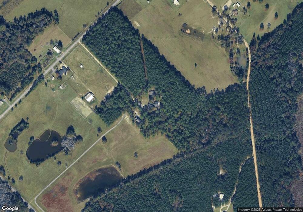
Map
Nearby Homes
- 349 Empire Chester Hwy
- 868 Mac Thompson Rd
- 226 Woodland Trail Rd
- LOT 46 Woodland Trail Rd
- LOT 47 Woodland Trail Rd
- 0 Woodland Trail Rd Unit 12994880
- 126 Plover Rd
- 0 Mac Thompson Rd Unit 16072590
- 0 Mac Thompson Rd Unit 261700
- 141 James English Rd
- 176 Pineland Estates Rd
- 119 Moll Dr
- 283 Limestone Rd
- RV Park Mac Thompson Rd
- Land Mac Thompson Rd
- 0 Wood Oak Cir Unit 233873
- 0 Wood Oak Cir Unit 9278951
- 175 Wood Oak Cir
- 238 Wood Oak Cir
- 166 Pebble Hills Rd
Your Personal Tour Guide
Ask me questions while you tour the home.