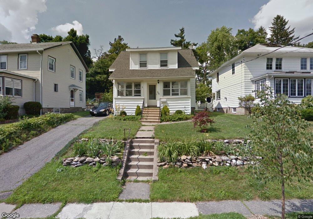
28 Barnard Rd Unit 1 Worcester, MA 01605
North Lincoln Street NeighborhoodEstimated Value: $447,000 - $536,000
3
Beds
2
Baths
1,144
Sq Ft
$419/Sq Ft
Est. Value
About This Home
This home is located at 28 Barnard Rd Unit 1, Worcester, MA 01605 and is currently estimated at $479,719, approximately $419 per square foot. 28 Barnard Rd Unit 1 is a home located in Worcester County with nearby schools including Jacob Hiatt Magnet School, Chandler Magnet, and Wawecus Road School.
Ownership History
Date
Name
Owned For
Owner Type
Purchase Details
Closed on
Jun 30, 2025
Sold by
Fiori Heather and Fiori Gino
Bought by
Prince Caroline
Current Estimated Value
Purchase Details
Closed on
Apr 5, 2024
Sold by
Ortiz Anibal and Ortiz Aura
Bought by
Fiori Heather and Fiori Gino
Home Financials for this Owner
Home Financials are based on the most recent Mortgage that was taken out on this home.
Original Mortgage
$459,675
Interest Rate
6.9%
Mortgage Type
Purchase Money Mortgage
Purchase Details
Closed on
Jan 7, 2022
Sold by
Marcoux Ryan and Mcdonnell Aisling
Bought by
Ortiz Anibal and Franklin Renic
Home Financials for this Owner
Home Financials are based on the most recent Mortgage that was taken out on this home.
Original Mortgage
$343,660
Interest Rate
3.12%
Mortgage Type
FHA
Purchase Details
Closed on
Jul 13, 2009
Sold by
Lajoie Christa
Bought by
Marcoux Ryan
Home Financials for this Owner
Home Financials are based on the most recent Mortgage that was taken out on this home.
Original Mortgage
$103,950
Interest Rate
4.93%
Mortgage Type
Purchase Money Mortgage
Purchase Details
Closed on
Nov 8, 2006
Sold by
Lajoie Dolores
Bought by
Lajoie Christa
Create a Home Valuation Report for This Property
The Home Valuation Report is an in-depth analysis detailing your home's value as well as a comparison with similar homes in the area
Home Values in the Area
Average Home Value in this Area
Purchase History
| Date | Buyer | Sale Price | Title Company |
|---|---|---|---|
| Prince Caroline | $482,500 | -- | |
| Prince Caroline A | $482,500 | -- | |
| Fiori Heather | $450,000 | None Available | |
| Fiori Heather | $450,000 | None Available | |
| Ortiz Anibal | $350,000 | None Available | |
| Ortiz Anibal E | $350,000 | None Available | |
| Marcoux Ryan | $135,000 | -- | |
| Marcoux Ryan A | $135,000 | -- | |
| Marcoux Ryan A | $135,000 | -- | |
| Lajoie Christa | $225,000 | -- | |
| Lajoie Christa A | $225,000 | -- | |
| Lajoie Christa A | $225,000 | -- |
Source: Public Records
Mortgage History
| Date | Status | Borrower | Loan Amount |
|---|---|---|---|
| Previous Owner | Fiori Heather | $459,675 | |
| Previous Owner | Ortiz Anibal E | $343,660 | |
| Previous Owner | Marcoux Ryan A | $103,950 | |
| Previous Owner | Lajoie Christa A | $27,000 |
Source: Public Records
Tax History
| Year | Tax Paid | Tax Assessment Tax Assessment Total Assessment is a certain percentage of the fair market value that is determined by local assessors to be the total taxable value of land and additions on the property. | Land | Improvement |
|---|---|---|---|---|
| 2025 | $4,450 | $337,400 | $108,800 | $228,600 |
| 2024 | $4,356 | $316,800 | $108,800 | $208,000 |
| 2023 | $4,182 | $291,600 | $94,600 | $197,000 |
| 2022 | $3,816 | $250,900 | $75,700 | $175,200 |
| 2021 | $3,653 | $224,400 | $60,600 | $163,800 |
| 2020 | $3,577 | $210,400 | $60,600 | $149,800 |
| 2019 | $3,373 | $187,400 | $54,400 | $133,000 |
| 2018 | $3,358 | $177,600 | $54,400 | $123,200 |
| 2017 | $3,248 | $169,000 | $54,400 | $114,600 |
| 2016 | $3,240 | $157,200 | $41,100 | $116,100 |
| 2015 | $3,155 | $157,200 | $41,100 | $116,100 |
| 2014 | $3,072 | $157,200 | $41,100 | $116,100 |
Source: Public Records
Map
Nearby Homes
- 25 Kenwood Ave
- 16 Barnard Rd
- 36 Melrose St
- 5 Wakefield St
- 2 Selden St
- 249 Lincoln St
- 51 Uxbridge St
- 27 Harlow St
- 32 Hemans St
- 30 Boardman St
- 87 Wilkinson St
- 44 Boardman St
- 258 Beverly Rd
- 23 Dryden St
- 18 Hillcroft Ave
- 46 Hastings Ave
- 21 Trinity Ave
- 63 North St Unit D
- 63 North St Unit A
- 183 King Philip Rd
- 20 Barnard Rd
- 32 Barnard Rd
- 18 Barnard Rd
- 36 Barnard Rd
- 40 Barnard Rd
- 40 Barnard Rd Unit 1
- 27 Barnard Rd
- 23 Barnard Rd
- 31 Barnard Rd
- 19 Barnard Rd
- 35 Barnard Rd
- 46 Barnard Rd
- 35 Kenwood Ave
- 23 Kenwood Ave
- 17 Kenwood Ave
- 17 Barnard Rd
- 17 Barnard Rd Unit 3
- 17 Barnard Rd Unit 1
- 17 Barnard Rd Unit 2
- 5701 Call for Address
Your Personal Tour Guide
Ask me questions while you tour the home.