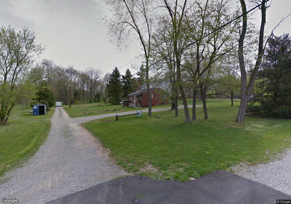
28 Colby St Eighty Four, PA 15330
Estimated Value: $219,000 - $266,427
2
Beds
1
Bath
1,418
Sq Ft
$172/Sq Ft
Est. Value
About This Home
This home is located at 28 Colby St, Eighty Four, PA 15330 and is currently estimated at $244,357, approximately $172 per square foot. 28 Colby St is a home with nearby schools including Canon-Mcmillan Senior High School.
Ownership History
Date
Name
Owned For
Owner Type
Purchase Details
Closed on
Jul 21, 2005
Sold by
Wagner Robert L
Bought by
Stewart David W
Current Estimated Value
Home Financials for this Owner
Home Financials are based on the most recent Mortgage that was taken out on this home.
Original Mortgage
$90,400
Outstanding Balance
$47,098
Interest Rate
5.63%
Mortgage Type
New Conventional
Estimated Equity
$197,259
Purchase Details
Closed on
Mar 11, 2003
Sold by
Household Fin Corp I I I
Bought by
Wagner Robert
Create a Home Valuation Report for This Property
The Home Valuation Report is an in-depth analysis detailing your home's value as well as a comparison with similar homes in the area
Home Values in the Area
Average Home Value in this Area
Purchase History
| Date | Buyer | Sale Price | Title Company |
|---|---|---|---|
| Stewart David W | $113,000 | -- | |
| Wagner Robert | $56,900 | -- |
Source: Public Records
Mortgage History
| Date | Status | Borrower | Loan Amount |
|---|---|---|---|
| Open | Stewart David W | $90,400 |
Source: Public Records
Tax History
| Year | Tax Paid | Tax Assessment Tax Assessment Total Assessment is a certain percentage of the fair market value that is determined by local assessors to be the total taxable value of land and additions on the property. | Land | Improvement |
|---|---|---|---|---|
| 2025 | $2,839 | $161,200 | $65,400 | $95,800 |
| 2024 | $2,573 | $161,200 | $65,400 | $95,800 |
| 2023 | $2,573 | $161,200 | $65,400 | $95,800 |
| 2022 | $2,565 | $161,200 | $65,400 | $95,800 |
| 2021 | $2,565 | $161,200 | $65,400 | $95,800 |
| 2020 | $2,436 | $161,200 | $65,400 | $95,800 |
| 2019 | $2,396 | $161,200 | $65,400 | $95,800 |
| 2018 | $2,345 | $161,200 | $65,400 | $95,800 |
| 2017 | $322 | $161,200 | $65,400 | $95,800 |
| 2016 | $322 | $9,232 | $1,297 | $7,935 |
| 2015 | $991 | $9,232 | $1,297 | $7,935 |
| 2014 | $336 | $9,232 | $1,297 | $7,935 |
| 2013 | $336 | $9,232 | $1,297 | $7,935 |
Source: Public Records
Map
Nearby Homes
- 509 Kairy Ct
- 226 Regency Dr
- LOT 8 Thomas Eighty Four Rd
- 190 Linnwood Rd
- 22 Belen Hill Cir
- 22 Belen Cir
- 1645 Route 519
- 19 Old Monongahela Pike
- 0 Robert Ln
- 0 Route 519 Unit 1728830
- 0 Route 519 Unit 1706095
- 580 Green Valley Rd
- 124 Dyersstone Dr
- 2035 Majestic Dr
- 2006 Overlook Ct
- 2076 Majestic Dr
- 147 Valley View Rd
- Lot 4A Sugar Run Rd
- 4019 Bentwood Dr
- 104 Linden Rd
- 1 Welby St
- 32 Colby St
- 3 Smallwood St
- 1 Smallwood St
- 13 Smallwood St
- 2 Smallwood St
- 21 Smallwood St
- 24 Colby St
- 6 Welby St
- 16 Smallwood St
- 104 Highcroft Cir
- 102 Highcroft Cir
- 106 Highcroft Cir
- 108 Highcroft Cir
- 44 Dooley St
- lot 2 Dooley St
- lots1+2 Dooley St
- lot #1 Dooley St
- lots 1+2 Dooley St
- Lots 1+ 2 Dooley St
Your Personal Tour Guide
Ask me questions while you tour the home.