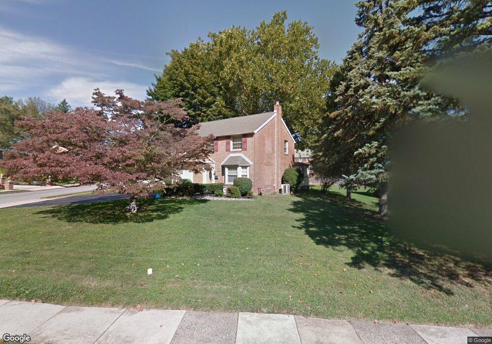
28 Curtis Rd Springfield, PA 19064
Estimated Value: $548,000 - $580,000
About This Home
This home is located at 28 Curtis Rd, Springfield, PA 19064 and is currently estimated at $562,774, approximately $282 per square foot. 28 Curtis Rd is a home located in Delaware County with nearby schools including Springfield High School, St Francis Of Assisi School, and St Dorothy School.
Ownership History
We collect this data history from publicly available records. To have your information removed, we recommend requesting removal directly through your county’s website.
Purchase Details
Home Financials for this Owner
Home Financials are based on the most recent Mortgage that was taken out on this home.Home Values in the Area
Average Home Value in this Area
Purchase History
We collect this data history from publicly available records. To have your information removed, we recommend requesting removal directly through your county’s website.
| Date | Buyer | Sale Price | Title Company |
|---|---|---|---|
| $171,000 | -- |
Mortgage History
We collect this data history from publicly available records. To have your information removed, we recommend requesting removal directly through your county’s website.
| Date | Status | Borrower | Loan Amount |
|---|---|---|---|
| Open | $136,800 |
Tax History
We collect this data history from publicly available records. To have your information removed, we recommend requesting removal directly through your county’s website.
| Year | Tax Paid | Tax Assessment Tax Assessment Total Assessment is a certain percentage of the fair market value that is determined by local assessors to be the total taxable value of land and additions on the property. | Land | Improvement |
|---|---|---|---|---|
| 2026 | $9,278 | $309,570 | $101,830 | $207,740 |
| 2025 | $8,701 | $309,570 | $101,830 | $207,740 |
| 2024 | $8,701 | $309,570 | $101,830 | $207,740 |
| 2023 | $8,378 | $309,570 | $101,830 | $207,740 |
| 2022 | $8,197 | $309,570 | $101,830 | $207,740 |
| 2021 | $12,694 | $309,570 | $101,830 | $207,740 |
| 2020 | $7,677 | $169,420 | $48,950 | $120,470 |
| 2019 | $7,497 | $169,420 | $48,950 | $120,470 |
| 2018 | $7,390 | $169,420 | $0 | $0 |
| 2017 | $7,219 | $169,420 | $0 | $0 |
| 2016 | $930 | $169,420 | $0 | $0 |
| 2015 | $930 | $169,420 | $0 | $0 |
| 2014 | $930 | $169,420 | $0 | $0 |
Map
- 107 Snyder Ln
- 450 Foster Dr
- 506 Flora Cir
- 417 Foster Dr
- 221 Hemlock Ln
- 359 Spring Valley Rd
- 141 Cascade Rd
- 356 N State Rd
- 513 Beatty Rd
- 89 Saxer Ave
- 14 Windsor Cir
- 578 Rutherford Dr
- 29 School Ln
- 690 Old School House Dr
- 41 Wayne Ave
- 203 Corvus Cir
- 271 Ballymore Rd
- 474 Ridge Ln
- 424 Ravenscliff Dr
- 103B Jay Aly
- 29 S State Rd
- 23 S State Rd
- 34 S State Rd
- 680 Buttonwood Dr
- 17 S State Rd
- 674 Buttonwood Dr
- 11 S State Rd
- 22 Curtis Rd
- 700 Buttonwood Dr
- 40 S State Rd
- 668 Buttonwood Dr
- 16 Curtis Rd
- 701 Buttonwood Dr
- 660 Buttonwood Dr
- 7 S State Rd
- 10 Curtis Rd
- 57 S State Rd
- 46 S State Rd
- 706 Buttonwood Dr
- 2 S State Rd
Ask me questions while you tour the home.