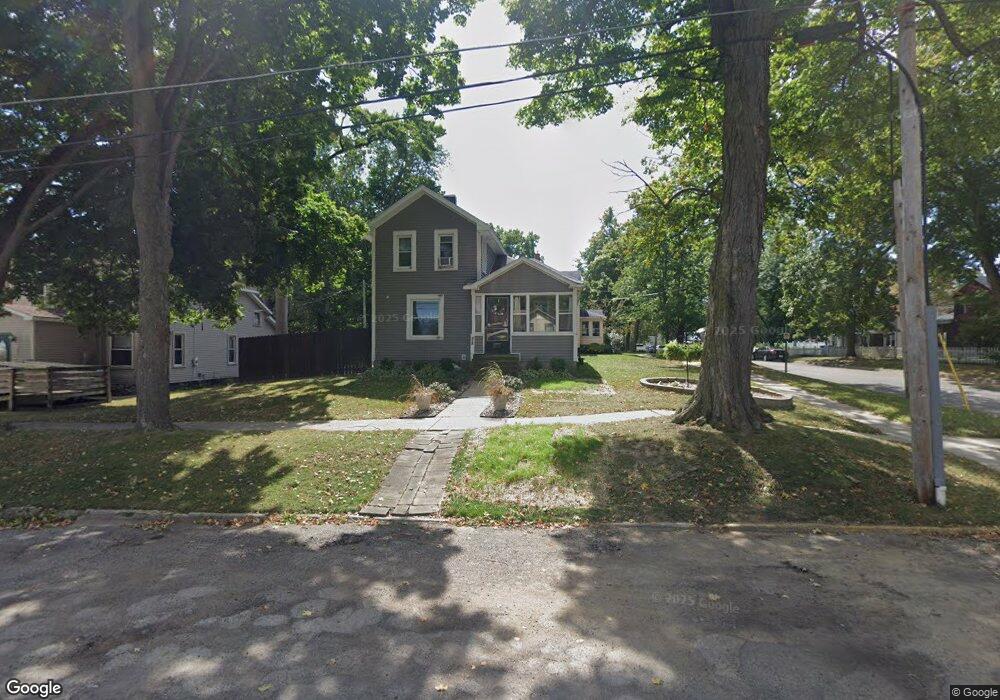
28 E Sharp St Hillsdale, MI 49242
Estimated Value: $161,266 - $185,000
4
Beds
1
Bath
1,052
Sq Ft
$161/Sq Ft
Est. Value
About This Home
This home is located at 28 E Sharp St, Hillsdale, MI 49242 and is currently estimated at $169,567, approximately $161 per square foot. 28 E Sharp St is a home located in Hillsdale County with nearby schools including Bailey Early Childhood Center, Gier Elementary School, and Davis Middle School.
Ownership History
Date
Name
Owned For
Owner Type
Purchase Details
Closed on
Nov 19, 2003
Sold by
Kiersey Walter and Kiersey Gunnar
Bought by
Moyer Otis W
Current Estimated Value
Purchase Details
Closed on
Aug 28, 1998
Sold by
Kiersey Walter
Bought by
Kiersey Walter and Kiersey Gunnar
Purchase Details
Closed on
Dec 2, 1996
Sold by
Kiersey Walter and Kiersey Brenda
Bought by
Kiersey Walter
Purchase Details
Closed on
Apr 21, 1994
Sold by
Knapp Kathleen
Bought by
Kiersey Walter and Kiersey Brenda
Purchase Details
Closed on
Feb 15, 1993
Sold by
Kiersey Walter and Kiersey Brenda
Create a Home Valuation Report for This Property
The Home Valuation Report is an in-depth analysis detailing your home's value as well as a comparison with similar homes in the area
Home Values in the Area
Average Home Value in this Area
Purchase History
| Date | Buyer | Sale Price | Title Company |
|---|---|---|---|
| Moyer Otis W | $64,000 | -- | |
| Kiersey Walter | -- | -- | |
| Kiersey Walter | -- | -- | |
| Kiersey Walter | $41,000 | -- | |
| -- | $42,500 | -- |
Source: Public Records
Tax History
| Year | Tax Paid | Tax Assessment Tax Assessment Total Assessment is a certain percentage of the fair market value that is determined by local assessors to be the total taxable value of land and additions on the property. | Land | Improvement |
|---|---|---|---|---|
| 2025 | $1,142 | $69,600 | $0 | $0 |
| 2024 | $11 | $48,100 | $0 | $0 |
| 2023 | $1,079 | $42,700 | $0 | $0 |
| 2022 | $1,230 | $40,300 | $0 | $0 |
| 2021 | $1,202 | $39,200 | $0 | $0 |
| 2020 | $1,165 | $35,600 | $0 | $0 |
| 2019 | $1,129 | $35,600 | $0 | $0 |
| 2018 | $1,052 | $31,200 | $0 | $0 |
| 2017 | $1,017 | $27,300 | $0 | $0 |
| 2016 | $930 | $27,300 | $0 | $0 |
| 2015 | $785 | $27,300 | $0 | $0 |
| 2013 | -- | $25,390 | $0 | $0 |
| 2012 | -- | $25,160 | $0 | $0 |
Source: Public Records
Map
Nearby Homes
- 144 S Manning St
- 134 S Howell St
- 36 E South St
- 93 S West St
- 76 Budlong St
- 10 Armstrong St
- 65 S Howell St
- 46 Budlong St
- 63 S Howell St
- 135 Budlong St
- 106 E Sharp St
- 1468 Hudson Rd
- 55 E Street Joe St
- 60 Griswold St
- 158 W Saint Joe St
- 178 Griswold St
- 100 Westwood St
- 34 Oak St
- 30 & 40 Logan St
- 82 N Norwood St
- 32 E Sharp St
- 119 S Manning St
- 36 E Sharp St
- 116 S Manning St
- 120 S Manning St
- 111 S Manning St
- 38 E Sharp St
- 127 S Manning St
- 126 S Manning St
- 132 S Manning St
- 108 S Manning St
- 105 S Manning St
- 128 S Manning St
- 39 E Sharp St
- 135 S Manning St
- 104 S Manning St
- 101 S Manning St
- 139 S Manning St
- 108 S Howell St
- 112 S Howell St
Your Personal Tour Guide
Ask me questions while you tour the home.