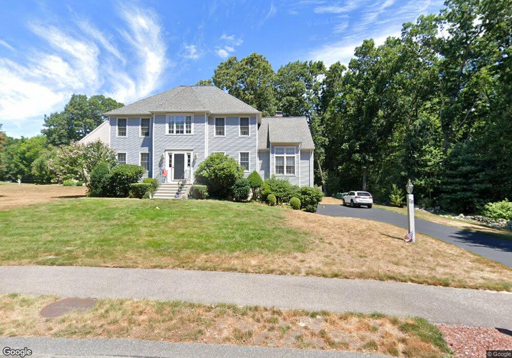
28 Hooksett Cir Medway, MA 02053
Estimated Value: $793,756 - $896,000
4
Beds
3
Baths
2,316
Sq Ft
$372/Sq Ft
Est. Value
About This Home
This home is located at 28 Hooksett Cir, Medway, MA 02053 and is currently estimated at $861,939, approximately $372 per square foot. 28 Hooksett Cir is a home located in Norfolk County with nearby schools including John D. McGovern Elementary School, Burke-Memorial Elementary, and Medway Middle School.
Ownership History
Date
Name
Owned For
Owner Type
Purchase Details
Closed on
Dec 6, 1996
Sold by
Stoney Acres Dev Corp
Bought by
Sellitto Nick and Sellitto Marlene
Current Estimated Value
Create a Home Valuation Report for This Property
The Home Valuation Report is an in-depth analysis detailing your home's value as well as a comparison with similar homes in the area
Home Values in the Area
Average Home Value in this Area
Purchase History
| Date | Buyer | Sale Price | Title Company |
|---|---|---|---|
| Sellitto Nick | $219,976 | -- | |
| Sellitto Nick | $219,976 | -- |
Source: Public Records
Mortgage History
| Date | Status | Borrower | Loan Amount |
|---|---|---|---|
| Closed | Sellitto Nick | $116,000 | |
| Closed | Sellitto Nick | $100,000 | |
| Closed | Sellitto Nick | $25,000 |
Source: Public Records
Tax History
| Year | Tax Paid | Tax Assessment Tax Assessment Total Assessment is a certain percentage of the fair market value that is determined by local assessors to be the total taxable value of land and additions on the property. | Land | Improvement |
|---|---|---|---|---|
| 2025 | $10,190 | $715,100 | $340,900 | $374,200 |
| 2024 | $10,297 | $715,100 | $340,900 | $374,200 |
| 2023 | $10,179 | $638,600 | $310,400 | $328,200 |
| 2022 | $9,305 | $549,600 | $229,800 | $319,800 |
| 2021 | $9,187 | $526,200 | $214,500 | $311,700 |
| 2020 | $9,151 | $522,900 | $214,500 | $308,400 |
| 2019 | $8,529 | $502,600 | $205,800 | $296,800 |
| 2018 | $8,590 | $486,400 | $197,100 | $289,300 |
| 2017 | $7,885 | $440,000 | $192,800 | $247,200 |
| 2016 | $7,744 | $427,600 | $177,500 | $250,100 |
| 2015 | $7,679 | $421,000 | $175,300 | $245,700 |
| 2014 | $7,674 | $407,300 | $176,400 | $230,900 |
Source: Public Records
Map
Nearby Homes
- 7 Quail Dr
- 1 Hooksett Cir
- 5 Quail Dr
- 26 Hooksett Cir
- 8 Quail Dr
- 15 Pheasant Run Rd
- 24 Hooksett Cir
- 21 Hooksett Cir
- 2 Hooksett Cir
- 6 Quail Dr
- 3 Hooksett Cir
- 22 Hooksett Cir
- 22 Hooksett Cir
- 13 Pheasant Run Rd
- 11 Pheasant Run Rd
- 16 Pheasant Run Rd
- 4 Quail Dr
- 17 Hooksett Cir
- 20 Hooksett Cir
- 4 Hooksett Cir
Your Personal Tour Guide
Ask me questions while you tour the home.