Estimated Value: $1,677,295 - $2,059,000
4
Beds
4
Baths
2,803
Sq Ft
$668/Sq Ft
Est. Value
About This Home
This home is located at 28 Jason Ave, Wells, ME 04090 and is currently estimated at $1,873,432, approximately $668 per square foot. 28 Jason Ave is a home with nearby schools including Wells Junior High School, Wells Elementary School, and Wells High School.
Ownership History
Date
Name
Owned For
Owner Type
Purchase Details
Closed on
Aug 17, 2023
Sold by
Cottage Builders Llc
Bought by
Donovan Molly K and Donovan Douglas R
Current Estimated Value
Home Financials for this Owner
Home Financials are based on the most recent Mortgage that was taken out on this home.
Original Mortgage
$250,000
Outstanding Balance
$243,064
Interest Rate
6.81%
Mortgage Type
Purchase Money Mortgage
Estimated Equity
$1,630,368
Purchase Details
Closed on
May 14, 2007
Sold by
Hall Howard Johnston
Bought by
Stover Jeannine A and Stover Matthew T
Create a Home Valuation Report for This Property
The Home Valuation Report is an in-depth analysis detailing your home's value as well as a comparison with similar homes in the area
Home Values in the Area
Average Home Value in this Area
Purchase History
| Date | Buyer | Sale Price | Title Company |
|---|---|---|---|
| Donovan Molly K | $1,566,432 | None Available | |
| Donovan Molly K | $1,566,432 | None Available | |
| Donovan Molly K | $1,566,432 | None Available | |
| Stover Jeannine A | -- | -- |
Source: Public Records
Mortgage History
| Date | Status | Borrower | Loan Amount |
|---|---|---|---|
| Open | Donovan Molly K | $250,000 | |
| Closed | Donovan Molly K | $250,000 |
Source: Public Records
Tax History
| Year | Tax Paid | Tax Assessment Tax Assessment Total Assessment is a certain percentage of the fair market value that is determined by local assessors to be the total taxable value of land and additions on the property. | Land | Improvement |
|---|---|---|---|---|
| 2025 | $9,291 | $1,438,200 | $782,960 | $655,240 |
| 2024 | $8,744 | $1,438,200 | $782,960 | $655,240 |
| 2023 | $6,799 | $1,140,790 | $782,960 | $357,830 |
| 2022 | $3,158 | $301,870 | $301,870 | $0 |
| 2021 | $3,176 | $301,870 | $301,870 | $0 |
| 2020 | $3,164 | $301,870 | $301,870 | $0 |
| 2019 | $3,145 | $301,870 | $301,870 | $0 |
| 2018 | $3,059 | $301,870 | $301,870 | $0 |
| 2017 | $3,067 | $301,870 | $301,870 | $0 |
| 2016 | $3,037 | $301,870 | $301,870 | $0 |
| 2015 | $3,004 | $301,870 | $301,870 | $0 |
| 2013 | $2,753 | $301,870 | $301,870 | $0 |
Source: Public Records
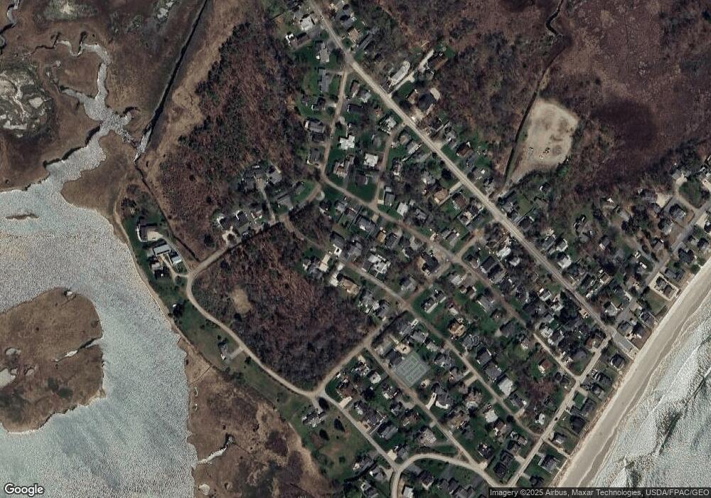
Map
Nearby Homes
- 416 Drakes Island Rd
- 478 Drakes Island Rd
- 500 Atlantic Ave Unit 2
- 465 Atlantic Ave
- 446 Atlantic Ave
- 1801 Post Rd Unit 128
- 1801 Post Rd Unit 190
- 1801 Post Rd Unit 154
- 238 Laudholm Farm Rd
- 9 Robert Ln
- 0 Eastern Ave
- 268 Atlantic Ave
- 1762 Post Rd Unit 206
- 1762 Post Rd Unit 138
- 99 Harbor Rd Unit Lot 52
- 99 Harbor Rd Unit Lot 54
- 170 Sylvan Way Unit 44
- 35 Burnt Mill Rd Unit B
- 60 5th Ave Unit 1
- 225 Atlantic Ave
Your Personal Tour Guide
Ask me questions while you tour the home.