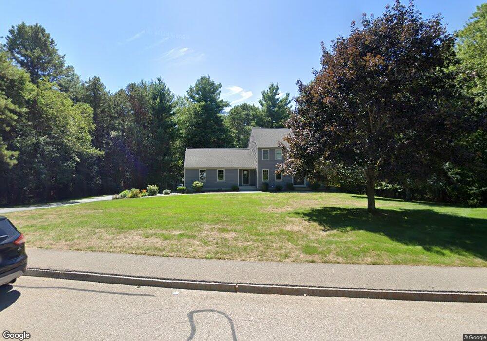
28 King Philip Path Mendon, MA 01756
Estimated Value: $705,000 - $825,000
4
Beds
4
Baths
2,356
Sq Ft
$323/Sq Ft
Est. Value
About This Home
This home is located at 28 King Philip Path, Mendon, MA 01756 and is currently estimated at $760,193, approximately $322 per square foot. 28 King Philip Path is a home located in Worcester County with nearby schools including Nipmuc Regional High School, Bethany Christian Academy, and Mendon Mennonite School.
Ownership History
Date
Name
Owned For
Owner Type
Purchase Details
Closed on
Apr 16, 2026
Sold by
Mcwilliams Charles
Bought by
Mcwilliams L Wealth and Mcwilliams Mcwilliams
Current Estimated Value
Purchase Details
Closed on
Jun 9, 1995
Sold by
Carboni Alfred
Bought by
Mcwilliams Charles
Purchase Details
Closed on
Mar 22, 1995
Sold by
Al Carboni&Sons Inc
Bought by
Carboni Alfred
Purchase Details
Closed on
Dec 30, 1994
Sold by
Highland Pond Rt
Bought by
Al Carboni&Sons Inc
Create a Home Valuation Report for This Property
The Home Valuation Report is an in-depth analysis detailing your home's value as well as a comparison with similar homes in the area
Home Values in the Area
Average Home Value in this Area
Purchase History
We collect this data history from publicly available records. To have your information removed, we recommend requesting removal directly through your county’s website.
| Date | Buyer | Sale Price | Title Company |
|---|---|---|---|
| Mcwilliams L Wealth | -- | -- | |
| Mcwilliams Charles | $70,000 | -- | |
| Carboni Alfred | $35,000 | -- | |
| Al Carboni&Sons Inc | $35,000 | -- |
Source: Public Records
Tax History
| Year | Tax Paid | Tax Assessment Tax Assessment Total Assessment is a certain percentage of the fair market value that is determined by local assessors to be the total taxable value of land and additions on the property. | Land | Improvement |
|---|---|---|---|---|
| 2025 | $9,183 | $685,800 | $206,400 | $479,400 |
| 2024 | $8,922 | $650,800 | $198,400 | $452,400 |
| 2023 | $8,688 | $595,100 | $177,100 | $418,000 |
| 2022 | $8,499 | $551,500 | $172,600 | $378,900 |
| 2021 | $8,170 | $486,600 | $167,400 | $319,200 |
| 2020 | $7,762 | $463,400 | $167,400 | $296,000 |
| 2019 | $7,570 | $452,200 | $162,600 | $289,600 |
| 2018 | $7,325 | $431,900 | $162,600 | $269,300 |
| 2017 | $7,379 | $415,700 | $162,600 | $253,100 |
| 2016 | $7,162 | $415,200 | $165,700 | $249,500 |
| 2015 | $6,562 | $409,900 | $165,700 | $244,200 |
| 2014 | $6,262 | $390,900 | $160,500 | $230,400 |
Source: Public Records
Map
Nearby Homes
- 10 Cemetery St
- 183 Blackstone St
- 35 Cape Rd
- 0 Elm St Unit 73500651
- 280 Blackstone St
- 13 Whitman Cir Unit 13
- 25 Bens Way
- 3 Whitman Cir Unit 3
- 1 Whitman Cir Unit 1
- 85 Mendon St
- 123-125 Mendon St
- 38 Country Side Rd
- 7 Neck Hill Rd
- 9 Wood Dr
- 142 Bellwood Cir Unit 142
- 86 Plain St
- 9 White Rd
- 0 Hartford Ave
- 25 Warfield St
- 174 Millville Rd
- 30 King Philip Path
- 26 King Philip Path
- 12 Massasoit Way
- 27 King Philip Path
- 25 King Philip Path
- 29 King Philip Path
- 8 Massasoit Way
- 21 King Philip Path
- 24 King Philip Path
- 9 Massasoit Way
- 14 Massasoit Way
- 7 Massasoit Way
- 13 King Philip Path
- 11 Massasoit Way
- 13 Massasoit Way
- 5 Massasoit Way
- 15 King Philip Path
- 11 King Philip Path
- 6 Massasoit Way
- 22 King Philip Path
Your Personal Tour Guide
Ask me questions while you tour the home.