Estimated Value: $379,000 - $629,000
2
Beds
1
Bath
768
Sq Ft
$696/Sq Ft
Est. Value
About This Home
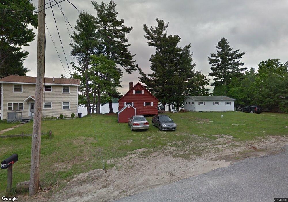
This home is located at 28 Krams Point Rd, Gray, ME 04039 and is currently estimated at $534,206, approximately $695 per square foot. 28 Krams Point Rd is a home with nearby schools including Gray-New Gloucester High School.
Ownership History
Date
Name
Owned For
Owner Type
Purchase Details
Closed on
Feb 19, 2025
Sold by
Wing Judy E
Bought by
Wing
Current Estimated Value
Purchase Details
Closed on
Feb 8, 2024
Sold by
Bernier Laurie
Bought by
Bernier
Purchase Details
Closed on
Jan 10, 2024
Sold by
Laviolet Martha
Bought by
Laviolet
Purchase Details
Closed on
Jul 7, 2023
Sold by
Eames Arnold C Est and Wing
Bought by
Wing Judy E and Bernier Laurie
Create a Home Valuation Report for This Property
The Home Valuation Report is an in-depth analysis detailing your home's value as well as a comparison with similar homes in the area
Home Values in the Area
Average Home Value in this Area
Purchase History
| Date | Buyer | Sale Price | Title Company |
|---|---|---|---|
| Wing | -- | None Available | |
| Wing | -- | None Available | |
| Bernier | -- | None Available | |
| Bernier | -- | None Available | |
| Laviolet | -- | None Available | |
| Laviolet | -- | None Available | |
| Wing Judy E | -- | None Available | |
| Wing Judy E | -- | None Available |
Source: Public Records
Tax History
| Year | Tax Paid | Tax Assessment Tax Assessment Total Assessment is a certain percentage of the fair market value that is determined by local assessors to be the total taxable value of land and additions on the property. | Land | Improvement |
|---|---|---|---|---|
| 2025 | $5,166 | $533,700 | $422,500 | $111,200 |
| 2024 | $5,177 | $533,700 | $422,500 | $111,200 |
| 2023 | $4,490 | $295,800 | $211,200 | $84,600 |
| 2022 | $4,126 | $295,800 | $211,200 | $84,600 |
| 2021 | $4,120 | $282,000 | $211,200 | $70,800 |
| 2020 | $4,160 | $282,000 | $211,200 | $70,800 |
| 2019 | $4,160 | $282,000 | $211,200 | $70,800 |
| 2018 | $3,948 | $282,000 | $211,200 | $70,800 |
| 2017 | $3,350 | $185,600 | $142,100 | $43,500 |
| 2016 | $3,396 | $185,600 | $142,100 | $43,500 |
| 2015 | $3,378 | $185,600 | $142,100 | $43,500 |
| 2014 | $3,378 | $185,600 | $142,100 | $43,500 |
| 2012 | $2,942 | $185,588 | $142,050 | $43,538 |
Source: Public Records
Map
Nearby Homes
- 2 Gore Rd
- 150 Birchwood Rd
- 17 Northern Oaks Dr
- M011-006 Westwood Rd
- 15 Presidential View
- 38 Freds Way
- 4 Chelsey Ln
- 224 Shaker Rd
- 37 Main St
- 39 Pipeline Rd
- 93 Woodland Rd
- 16 Peterson Rd
- lot #8 Bedrock Terrace
- M20/21/311 Shaw Brook Ln
- 0 Gore Unit 1655428
- 99 Enterprise Dr
- 1112 Roosevelt Trail Unit 8
- 1042 Roosevelt Trail
- 34 Smith Rd
- 14 Yarmouth Rd
- 26 Krams Point Rd
- 30 Krams Point Rd
- 24 Krams Point Rd
- 24 Krams Point Rd
- 32 Krams Point Rd
- 22 Krams Point Rd
- 30 Aquila Rd
- 34 Krams Point Rd
- 20 Krams Point Rd
- 28 Aquila Rd
- 5 Krames Point Rd
- 5 Krams Point Rd
- 18 Krams Point Rd
- 26 Aquila Rd
- 32 Aquila Rd
- 34 Aquila Rd
- 8 Krams Point Rd
- 10 Krames Point Rd
- 12 Krams Point Rd
- 6 Krams Point Rd
Your Personal Tour Guide
Ask me questions while you tour the home.