28 Maple Ln Penobscot, ME 04476
Estimated Value: $451,000 - $821,456
Studio
--
Bath
--
Sq Ft
1.23
Acres Lot
About This Home
This home is located at 28 Maple Ln, Penobscot, ME 04476 and is currently estimated at $594,114. 28 Maple Ln is a home with nearby schools including Blue Hill Consolidated School, The Bay School, and George Stevens Academy.
Ownership History
Date
Name
Owned For
Owner Type
Purchase Details
Closed on
May 1, 2024
Sold by
Daugherty William and Daugherty Alexanda M
Bought by
William M Daugherty Ret and Daugherty
Current Estimated Value
Purchase Details
Closed on
Aug 1, 2023
Sold by
Mchenry Christina
Bought by
Daugherty William and Daugherty Alexandra M
Purchase Details
Closed on
Jul 24, 2023
Sold by
Mchenry Mary I and Ogden Andrew
Bought by
Mchenry Christina
Purchase Details
Closed on
Jul 28, 2022
Sold by
Mchenry Christina
Bought by
Mchenry Mary I and Ogden Andrew
Purchase Details
Closed on
Jul 25, 2008
Sold by
Mchenry Christina
Bought by
Mchenry Mary I and Mchenry William L
Create a Home Valuation Report for This Property
The Home Valuation Report is an in-depth analysis detailing your home's value as well as a comparison with similar homes in the area
Home Values in the Area
Average Home Value in this Area
Purchase History
| Date | Buyer | Sale Price | Title Company |
|---|---|---|---|
| William M Daugherty Ret | -- | None Available | |
| William M Daugherty Ret | -- | None Available | |
| Daugherty William | $750,000 | None Available | |
| Mchenry Christina | -- | None Available | |
| Mchenry Christina | -- | None Available | |
| Mchenry Christina | -- | None Available | |
| Mchenry Mary I | -- | None Available | |
| Mchenry Mary I | -- | None Available | |
| Mchenry Mary I | -- | None Available | |
| Mchenry Mary I | -- | -- | |
| Mchenry Mary I | -- | -- |
Source: Public Records
Tax History
| Year | Tax Paid | Tax Assessment Tax Assessment Total Assessment is a certain percentage of the fair market value that is determined by local assessors to be the total taxable value of land and additions on the property. | Land | Improvement |
|---|---|---|---|---|
| 2024 | $3,500 | $400,000 | $341,200 | $58,800 |
| 2023 | $3,617 | $268,700 | $160,600 | $108,100 |
| 2022 | $3,140 | $249,200 | $160,600 | $88,600 |
| 2021 | $3,003 | $249,200 | $160,600 | $88,600 |
| 2020 | $2,878 | $249,200 | $160,600 | $88,600 |
| 2019 | $2,694 | $249,200 | $160,600 | $88,600 |
| 2018 | $2,492 | $249,200 | $160,600 | $88,600 |
| 2017 | $2,492 | $249,200 | $160,600 | $88,600 |
| 2016 | $2,417 | $249,200 | $160,600 | $88,600 |
| 2015 | $2,492 | $249,200 | $160,600 | $88,600 |
| 2014 | $2,193 | $249,200 | $160,600 | $88,600 |
| 2013 | $2,093 | $249,200 | $160,600 | $88,600 |
Source: Public Records
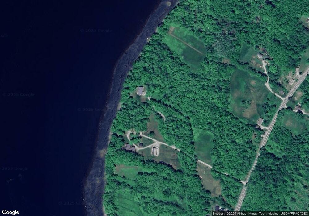
Map
Nearby Homes
- 232 South St
- 85 Circle Farm Ln
- 40 Main St
- 020-078 Blue Hill
- 176 Ellsworth Rd
- 191 Woods Point Rd
- 347 Ellsworth Rd
- 12 Turkey Farm Rd
- 20 Turkey Farm Rd
- 380 Ellsworth Rd
- 31 Windswept Ln
- 48 Douglass Loop
- 08-02A Sedgwick Ridge Rd
- 539 Sedgwick Ridge Rd
- Lot 02-A-3 Long Island
- 61 Gerards Trail
- 12 Maslow Square Unit 12
- 8 Maslows Square Unit 8
- 10 Maslows Square Unit 10
- 684 Falls Bridge Rd
- 43 Parker Ln
- 50 Parker Ln
- 7 Maple Ln
- 0 Parker Point
- 56 Parker Ln
- 28 Maple Ln
- 290 Parker Point Rd
- 287 Parker Point Rd
- 92 Parker Ln
- 271 Parker Point Rd
- 123 & 132 Parker Ln
- 123 Parker Ln
- 329 Parker Point Rd
- 10 Stinky Cove Ln
- 355 Parker Point Rd
- 352 Parker Point Rd
- 490 Parker Point Rd
- 000 Parker Point Rd
- 00 Parker Point Rd
Your Personal Tour Guide
Ask me questions while you tour the home.