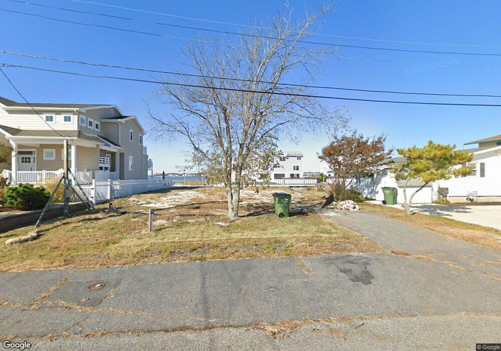
28 Point Dr Somers Point, NJ 08244
Estimated Value: $604,000 - $1,627,000
Studio
--
Bath
968
Sq Ft
$1,188/Sq Ft
Est. Value
About This Home
This home is located at 28 Point Dr, Somers Point, NJ 08244 and is currently estimated at $1,149,830, approximately $1,187 per square foot. 28 Point Dr is a home located in Atlantic County with nearby schools including Egg Harbor Township High School, ChARTer TECH High School for the Performing Arts, and Saint Joseph Regional School.
Ownership History
Date
Name
Owned For
Owner Type
Purchase Details
Closed on
Jan 5, 2019
Sold by
Sharpe Tom and Sharpe Estelle D
Bought by
Sp Lobster Shak Llc
Current Estimated Value
Purchase Details
Closed on
May 28, 1999
Sold by
Roddy John A and Taylor Dorothy M
Bought by
Sharpe Tom and Sharpe Estelle D
Home Financials for this Owner
Home Financials are based on the most recent Mortgage that was taken out on this home.
Original Mortgage
$105,600
Interest Rate
6.85%
Mortgage Type
Stand Alone First
Create a Home Valuation Report for This Property
The Home Valuation Report is an in-depth analysis detailing your home's value as well as a comparison with similar homes in the area
Purchase History
| Date | Buyer | Sale Price | Title Company |
|---|---|---|---|
| Sp Lobster Shak Llc | $370,000 | The Title Co Of Jersey | |
| Sharpe Tom | $132,000 | -- |
Source: Public Records
Mortgage History
| Date | Status | Borrower | Loan Amount |
|---|---|---|---|
| Previous Owner | Sharpe Tom | $105,600 |
Source: Public Records
Tax History
| Year | Tax Paid | Tax Assessment Tax Assessment Total Assessment is a certain percentage of the fair market value that is determined by local assessors to be the total taxable value of land and additions on the property. | Land | Improvement |
|---|---|---|---|---|
| 2025 | $20,909 | $623,400 | $259,500 | $363,900 |
| 2024 | $20,909 | $623,400 | $259,500 | $363,900 |
Source: Public Records
Map
Nearby Homes
- 11 Point Dr
- 8 Neptune Dr Unit 8
- 107 Stern Dr
- 1304 Harbour Cove S
- 1205 Harbour Cove S
- 1205 Harbour Cove S Unit 1205
- 110 E Maryland Ave
- 211 Harbour Cove Unit 5211
- 301 Harbour Cove Unit 301
- 309 Harbour Cove Unit 3309
- 314 Harbour Cove
- 1803 Pleasant Ave
- 305 Harbour Cove Unit 305
- 1002 Pleasant Ave
- 100 Decatur Ave
- 537 Bay Ave Unit 1st floor
- 1020 Pleasant Ave
- 1013 Pleasant Ave
- 1014 Pleasant Ave
- 1024 Pleasant Ave
Your Personal Tour Guide
Ask me questions while you tour the home.