28 River Rd West Cornwall, CT 06796
Estimated Value: $358,241 - $538,000
3
Beds
2
Baths
1,217
Sq Ft
$361/Sq Ft
Est. Value
About This Home
This home is located at 28 River Rd, West Cornwall, CT 06796 and is currently estimated at $438,810, approximately $360 per square foot. 28 River Rd is a home located in Litchfield County with nearby schools including Cornwall Consolidated School and Housatonic Valley Regional High School.
Ownership History
Date
Name
Owned For
Owner Type
Purchase Details
Closed on
Aug 11, 2010
Sold by
Rosenbeck Neils K
Bought by
Rosenbeck Neils K and Pisarczyk Irena B
Current Estimated Value
Purchase Details
Closed on
May 15, 2003
Sold by
Rosenbeck Laura A
Bought by
Rosenbeck Neils K
Purchase Details
Closed on
Sep 20, 1994
Sold by
Laporta John
Bought by
Rosenbeck Neils K and Rosenbeck Laura A
Create a Home Valuation Report for This Property
The Home Valuation Report is an in-depth analysis detailing your home's value as well as a comparison with similar homes in the area
Home Values in the Area
Average Home Value in this Area
Purchase History
| Date | Buyer | Sale Price | Title Company |
|---|---|---|---|
| Rosenbeck Neils K | -- | -- | |
| Rosenbeck Neils K | $34,000 | -- | |
| Rosenbeck Neils K | $112,000 | -- | |
| Rosenbeck Neils K | -- | -- | |
| Rosenbeck Neils K | $34,000 | -- | |
| Rosenbeck Neils K | $112,000 | -- |
Source: Public Records
Mortgage History
| Date | Status | Borrower | Loan Amount |
|---|---|---|---|
| Open | Rosenbeck Neils K | $224,200 | |
| Previous Owner | Rosenbeck Neils K | $236,000 |
Source: Public Records
Tax History
| Year | Tax Paid | Tax Assessment Tax Assessment Total Assessment is a certain percentage of the fair market value that is determined by local assessors to be the total taxable value of land and additions on the property. | Land | Improvement |
|---|---|---|---|---|
| 2025 | $3,168 | $198,500 | $48,200 | $150,300 |
| 2024 | $3,037 | $198,500 | $48,200 | $150,300 |
| 2023 | $2,918 | $198,500 | $48,200 | $150,300 |
| 2022 | $2,876 | $198,500 | $48,200 | $150,300 |
| 2021 | $2,395 | $143,400 | $33,000 | $110,400 |
| 2020 | $2,395 | $143,400 | $33,000 | $110,400 |
| 2019 | $2,395 | $143,400 | $33,000 | $110,400 |
| 2018 | $2,295 | $138,100 | $33,000 | $105,100 |
| 2017 | $2,226 | $138,100 | $33,000 | $105,100 |
| 2016 | $2,180 | $142,400 | $41,300 | $101,100 |
| 2015 | $2,155 | $142,400 | $41,300 | $101,100 |
| 2014 | $2,122 | $142,400 | $41,300 | $101,100 |
Source: Public Records
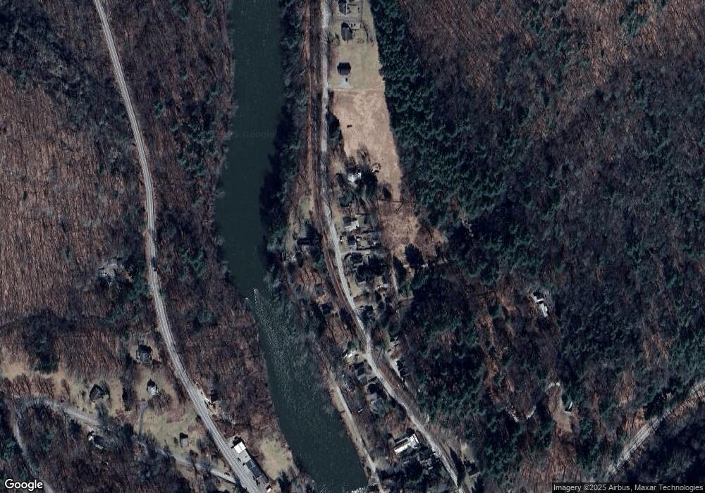
Map
Nearby Homes
- 0 Railroad St
- 20 Kirk Rd
- 0 Swaller Hill Rd Unit 24065338
- 0 Swaller Hill Rd Unit 24141946
- 0 Swaller Hill Rd Unit 24117863
- 233 Sharon-Goshen Turnpike
- 39 Swaller Hill Rd Unit lot 3
- 39 Swaller Hill Rd Unit 1
- 39 Cemetery Hill Rd
- 82 Valley Rd
- 200 Sharon Mountain Rd
- 153 White Hollow Rd
- 25 Bowne Rd
- 471 Lime Rock Rd
- 130 Sharon Mountain Rd
- 76 Fairchild Rd
- 28 White Hollow Rd
- 331 Calkinstown Rd
- 37 Lower Barrack Rd
- 198-4 Beebe Hill Rd
- 40 River Rd
- 275 Dibble Hill Rd
- 276 Dibble Hill Rd
- 350 Sharon Goshen Turnpike
- 407 Sharon-Goshen Turnpike
- 268 Dibble Hill Rd
- 263 Dibble Hill Rd
- 263A Dibble Hill Rd
- 356 Sharon Goshen Turnpike
- 332 Sharon Goshen Turnpike
- 332 Sharon Goshen Turnpike
- 332 W Sharon Goshen Tpke Cornwall
- 380 Sharon Goshen Turnpike
- 382 Sharon Goshen Turnpike
- 255 Dibble Hill Rd
- 384 Sharon Goshen Turnpike
- 256 Dibble Hill Rd
- 316 Sharon Goshen Turnpike
- 319 Sharon Goshen Turnpike
Your Personal Tour Guide
Ask me questions while you tour the home.