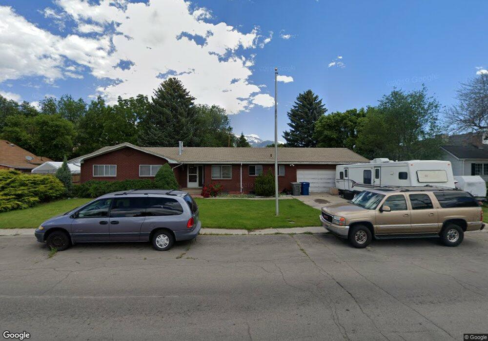
280 N 500 E American Fork, UT 84003
Estimated Value: $574,000 - $732,000
6
Beds
4
Baths
3,320
Sq Ft
$195/Sq Ft
Est. Value
About This Home
This home is located at 280 N 500 E, American Fork, UT 84003 and is currently estimated at $646,141, approximately $194 per square foot. 280 N 500 E is a home located in Utah County with nearby schools including Forbes Elementary School, American Fork Junior High School, and American Fork High School.
Ownership History
Date
Name
Owned For
Owner Type
Purchase Details
Closed on
Nov 28, 2022
Sold by
Bay Family Trust
Bought by
Whitaker Steffani Corry and Whitaker Thomas Anthony
Current Estimated Value
Purchase Details
Closed on
Oct 22, 2021
Sold by
Grove Plesant
Bought by
Hay Robert and Hay Katherine
Create a Home Valuation Report for This Property
The Home Valuation Report is an in-depth analysis detailing your home's value as well as a comparison with similar homes in the area
Home Values in the Area
Average Home Value in this Area
Purchase History
| Date | Buyer | Sale Price | Title Company |
|---|---|---|---|
| Whitaker Steffani Corry | -- | Title One | |
| Hay Robert | -- | Metro National Title | |
| Grove Plcasant | -- | Metro National Title |
Source: Public Records
Tax History
| Year | Tax Paid | Tax Assessment Tax Assessment Total Assessment is a certain percentage of the fair market value that is determined by local assessors to be the total taxable value of land and additions on the property. | Land | Improvement |
|---|---|---|---|---|
| 2025 | $2,663 | $319,880 | -- | -- |
| 2024 | $2,663 | $295,845 | $0 | $0 |
| 2023 | $2,506 | $536,700 | $0 | $0 |
| 2022 | $2,447 | $284,460 | $0 | $0 |
| 2021 | $2,098 | $380,900 | $151,500 | $229,400 |
| 2020 | $1,964 | $345,800 | $135,300 | $210,500 |
| 2019 | $1,792 | $326,400 | $115,900 | $210,500 |
| 2018 | $1,650 | $287,300 | $104,300 | $183,000 |
| 2017 | $1,659 | $155,925 | $0 | $0 |
| 2016 | $1,556 | $135,905 | $0 | $0 |
| 2015 | $1,630 | $135,080 | $0 | $0 |
| 2014 | $1,521 | $124,355 | $0 | $0 |
Source: Public Records
Map
Nearby Homes
Your Personal Tour Guide
Ask me questions while you tour the home.