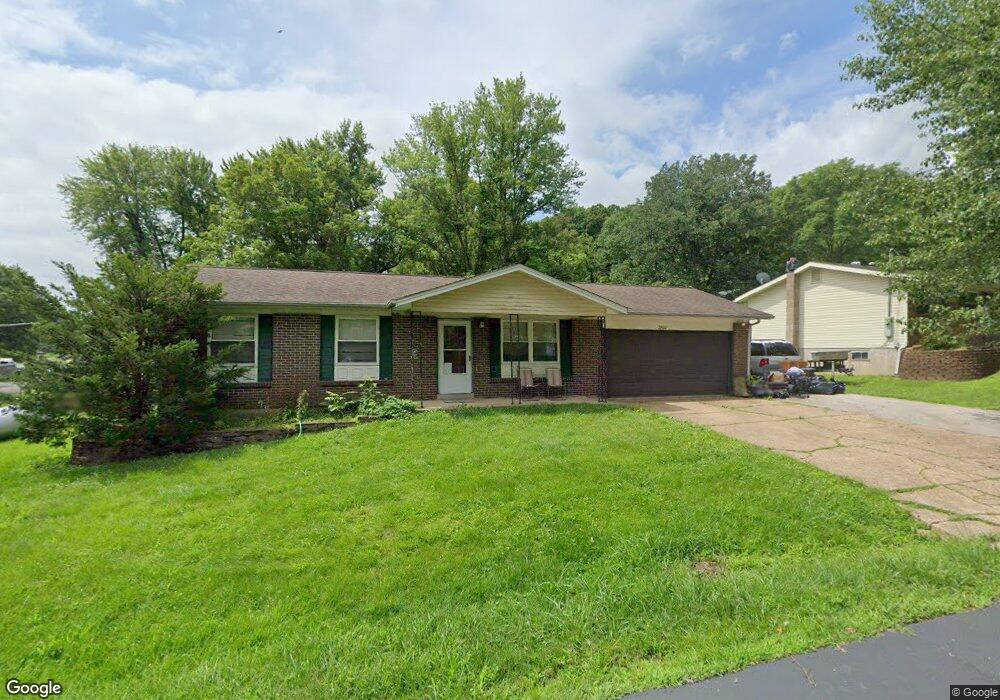
2800 Patti Ln High Ridge, MO 63049
Estimated Value: $142,000 - $219,693
About This Home
This home is located at 2800 Patti Ln, High Ridge, MO 63049 and is currently estimated at $188,923, approximately $209 per square foot. 2800 Patti Ln is a home located in Jefferson County with nearby schools including Northwest High School and St. Anthony School.
Ownership History
We collect this data history from publicly available records. To have your information removed, we recommend requesting removal directly through your county’s website.
Purchase Details
Purchase Details
Home Financials for this Owner
Home Financials are based on the most recent Mortgage that was taken out on this home.Purchase Details
Home Financials for this Owner
Home Financials are based on the most recent Mortgage that was taken out on this home.Purchase Details
Home Financials for this Owner
Home Financials are based on the most recent Mortgage that was taken out on this home.Home Values in the Area
Average Home Value in this Area
Purchase History
We collect this data history from publicly available records. To have your information removed, we recommend requesting removal directly through your county’s website.
| Date | Buyer | Sale Price | Title Company |
|---|---|---|---|
| -- | None Available | ||
| -- | Investors Title Company | ||
| -- | -- | ||
| -- | First American Title |
Mortgage History
We collect this data history from publicly available records. To have your information removed, we recommend requesting removal directly through your county’s website.
| Date | Status | Borrower | Loan Amount |
|---|---|---|---|
| Previous Owner | $133,559 | ||
| Previous Owner | $107,200 | ||
| Previous Owner | $78,573 |
Tax History
We collect this data history from publicly available records. To have your information removed, we recommend requesting removal directly through your county’s website.
| Year | Tax Paid | Tax Assessment Tax Assessment Total Assessment is a certain percentage of the fair market value that is determined by local assessors to be the total taxable value of land and additions on the property. | Land | Improvement |
|---|---|---|---|---|
| 2025 | $1,199 | $18,000 | $1,900 | $16,100 |
| 2024 | $1,199 | $16,600 | $1,900 | $14,700 |
| 2023 | $1,199 | $16,600 | $1,900 | $14,700 |
| 2022 | $1,193 | $16,600 | $1,900 | $14,700 |
| 2021 | $1,186 | $16,600 | $1,900 | $14,700 |
| 2020 | $1,090 | $14,900 | $1,600 | $13,300 |
| 2019 | $1,089 | $14,900 | $1,600 | $13,300 |
| 2018 | $1,104 | $14,900 | $1,600 | $13,300 |
| 2017 | $1,008 | $14,900 | $1,600 | $13,300 |
| 2016 | $908 | $13,300 | $1,500 | $11,800 |
| 2015 | $933 | $13,300 | $1,500 | $11,800 |
| 2013 | -- | $13,000 | $1,500 | $11,500 |
Map
- 3000 Byrnes Mill Rd
- 45 Rd
- 6428 Kathy Dr
- 6240 Antire Rd
- 6230 Antire Rd
- 6752 Walnut Valley Dr
- 6525 Antire Rd
- 7000 Twin River Rd
- 3 & 5 Broken Arrow Ct
- 2803 Wild Valley Dr
- 2944 Raw Wind Dr
- 2838 Wild Ridge Dr
- 6227 Missouri Pp
- 2371 Crestview Dr
- 2187 Boxwood Ln
- 3112 Del Rio Dr
- 0 Davis Dr Unit MIS26025512
- 7220 & 7218 Twin River Rd
- 0 Brynes Mill Unit MIS26040884
- 5736 La Trace Ln
Ask me questions while you tour the home.