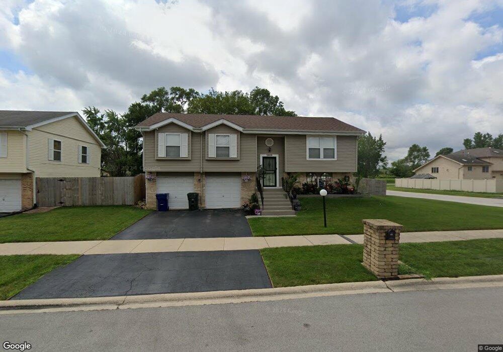
2809 Lancaster Dr Markham, IL 60428
Estimated Value: $179,000 - $270,000
About This Home
This home is located at 2809 Lancaster Dr, Markham, IL 60428 and is currently estimated at $207,385, approximately $147 per square foot. 2809 Lancaster Dr is a home located in Cook County with nearby schools including Nob Hill Elementary School, Prairie-Hills Junior High School, and Hillcrest High School.
Ownership History
We collect this data history from publicly available records. To have your information removed, we recommend requesting removal directly through your county’s website.
Purchase Details
Home Financials for this Owner
Home Financials are based on the most recent Mortgage that was taken out on this home.Home Values in the Area
Average Home Value in this Area
Purchase History
We collect this data history from publicly available records. To have your information removed, we recommend requesting removal directly through your county’s website.
| Date | Buyer | Sale Price | Title Company |
|---|---|---|---|
| $124,000 | Intercounty Title |
Mortgage History
We collect this data history from publicly available records. To have your information removed, we recommend requesting removal directly through your county’s website.
| Date | Status | Borrower | Loan Amount |
|---|---|---|---|
| Closed | $122,450 |
Tax History
We collect this data history from publicly available records. To have your information removed, we recommend requesting removal directly through your county’s website.
| Year | Tax Paid | Tax Assessment Tax Assessment Total Assessment is a certain percentage of the fair market value that is determined by local assessors to be the total taxable value of land and additions on the property. | Land | Improvement |
|---|---|---|---|---|
| 2025 | $7,329 | $16,000 | $1,710 | $14,290 |
| 2024 | $7,329 | $16,000 | $1,710 | $14,290 |
| 2023 | $2,393 | $16,000 | $1,710 | $14,290 |
| 2022 | $2,393 | $6,351 | $1,520 | $4,831 |
| 2021 | $2,391 | $6,351 | $1,520 | $4,831 |
| 2020 | $2,512 | $6,351 | $1,520 | $4,831 |
| 2019 | $4,782 | $9,911 | $1,330 | $8,581 |
| 2018 | $4,622 | $9,911 | $1,330 | $8,581 |
| 2017 | $4,415 | $9,911 | $1,330 | $8,581 |
| 2016 | $4,337 | $8,840 | $1,140 | $7,700 |
| 2015 | $3,919 | $8,840 | $1,140 | $7,700 |
| 2014 | $3,960 | $8,840 | $1,140 | $7,700 |
| 2013 | $4,611 | $10,653 | $1,140 | $9,513 |
Map
- 2859 Stafford Dr
- 16530 California Ave
- 2711 W 165th St
- 16158 Plymouth Dr
- 16549 California Ave
- 3014 W 163rd St
- 16551 Plymouth Dr
- 16607 California Ave
- 16600 Oxford Dr
- 3114 W 163rd St
- 3036 Sussex Ave
- 3133 Stafford Dr
- 3120 Wilshire Ave
- 16032 Circle Dr
- 16029 Circle Dr
- 3145 Nottingham Ave
- 16432 Sawyer Ave
- 16236 Spaulding Ave
- 16446 Spaulding Ave
- 16608 Sawyer Ave
- 2805 Lancaster Dr
- 2646 W 164th St
- 16326 Berkshire Dr
- 2842 W 164th St
- 2801 Lancaster Dr
- 2801 Lancaster Dr
- 2806 Lancaster Dr
- 16326 Berkshire St
- 2644 W 164th St
- 2831 Berkshire St
- 2804 Lancaster Dr
- 16358 California Ave
- 2835 Berkshire St
- 2800 Lancaster Dr
- 2844 W 164th St
- 2839 Berkshire St
- 16327 Mozart St
- 16320 California Ave
- 16323 Mozart St
- 16404 California Ave
Ask me questions while you tour the home.