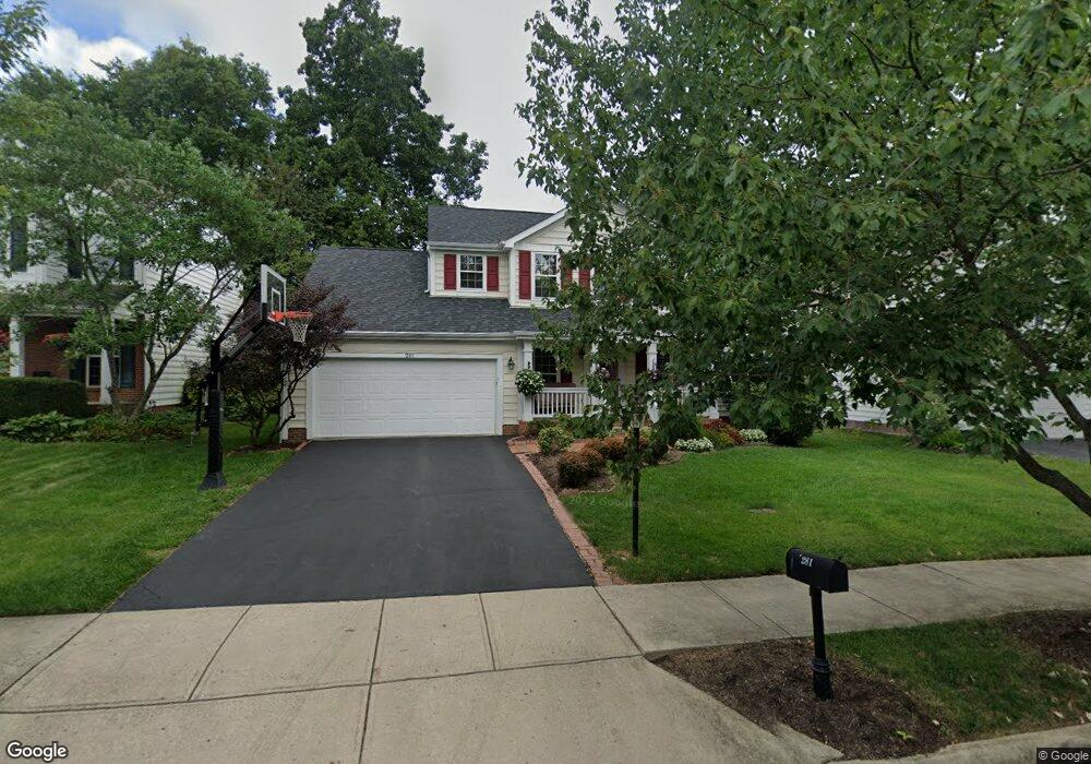
281 Andover Dr Powell, OH 43065
Estimated Value: $513,000 - $530,000
About This Home
This home is located at 281 Andover Dr, Powell, OH 43065 and is currently estimated at $525,299, approximately $262 per square foot. 281 Andover Dr is a home located in Delaware County with nearby schools including Tyler Run Elementary School, Olentangy Liberty Middle School, and Olentangy Liberty High School.
Ownership History
We collect this data history from publicly available records. To have your information removed, we recommend requesting removal directly through your county’s website.
Purchase Details
Home Financials for this Owner
Home Financials are based on the most recent Mortgage that was taken out on this home.Purchase Details
Home Values in the Area
Average Home Value in this Area
Purchase History
We collect this data history from publicly available records. To have your information removed, we recommend requesting removal directly through your county’s website.
| Date | Buyer | Sale Price | Title Company |
|---|---|---|---|
| $259,000 | Stewart Title Oh | ||
| $232,623 | -- |
Mortgage History
We collect this data history from publicly available records. To have your information removed, we recommend requesting removal directly through your county’s website.
| Date | Status | Borrower | Loan Amount |
|---|---|---|---|
| Previous Owner | $246,050 |
Tax History
We collect this data history from publicly available records. To have your information removed, we recommend requesting removal directly through your county’s website.
| Year | Tax Paid | Tax Assessment Tax Assessment Total Assessment is a certain percentage of the fair market value that is determined by local assessors to be the total taxable value of land and additions on the property. | Land | Improvement |
|---|---|---|---|---|
| 2025 | $8,581 | $155,410 | $36,930 | $118,480 |
| 2024 | $8,143 | $155,410 | $36,930 | $118,480 |
| 2023 | $8,175 | $155,410 | $36,930 | $118,480 |
| 2022 | $7,189 | $108,360 | $22,750 | $85,610 |
| 2021 | $7,313 | $108,360 | $22,750 | $85,610 |
| 2020 | $7,339 | $108,360 | $22,750 | $85,610 |
| 2019 | $6,347 | $97,200 | $22,750 | $74,450 |
| 2018 | $6,420 | $97,200 | $22,750 | $74,450 |
| 2017 | $6,052 | $87,430 | $18,690 | $68,740 |
| 2016 | $6,197 | $87,430 | $18,690 | $68,740 |
| 2015 | $5,639 | $87,430 | $18,690 | $68,740 |
| 2014 | $5,714 | $87,430 | $18,690 | $68,740 |
| 2013 | $5,588 | $83,550 | $18,690 | $64,860 |
Map
- 471 Commons Dr Unit 471
- 247 Chasely Cir
- 501 Salisbury Dr
- 10341 Sawmill Rd
- 374 Rosewood Ct
- 452 Sunridge Dr
- 3873 Oakbrook Ln Unit 3873
- 261 Whitaker Ave N
- 247 Donerail Ave
- 2448 Shroton Ct
- 2550 Breathstone Dr
- 2256 Worthingwoods Blvd
- 4933 Emerald Lakes Blvd Unit 4903
- 2300 Benning Dr
- 394 Charlescarn Dr Unit 394
- 3033 Jamestown Dr
- 2460 Cornwall Ct
- 2909 Lexington Dr
- 10252 Braeburn Ct
- 4506 N Hampton Dr
- 610 Gradall Ct
- 600 Gradall Ct
- 620 Gradall Ct
- 590 Gradall Ct
- 291 Andover Dr
- 271 Andover Dr
- 301 Andover Dr
- 611 Gradall Ct
- 630 Gradall Ct
- 601 Gradall Ct
- 621 Gradall Ct
- 591 Gradall Ct
- 351 Andover Dr
- 311 Andover Dr
- 641 Gradall Ct
- 331 Andover Dr
- 581 Gradall Ct
- 251 Andover Dr
- 631 Gradall Ct
- 325 Stamford Dr
Ask me questions while you tour the home.