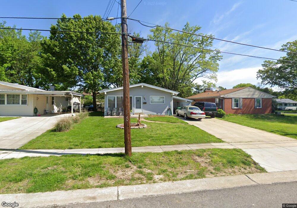
281 Deane Ct Saint Louis, MO 63127
Estimated Value: $197,000 - $224,343
3
Beds
1
Bath
1,092
Sq Ft
$198/Sq Ft
Est. Value
About This Home
This home is located at 281 Deane Ct, Saint Louis, MO 63127 and is currently estimated at $216,086, approximately $197 per square foot. 281 Deane Ct is a home located in St. Louis County with nearby schools including Crestwood Elementary School, Truman Middle School, and Lindbergh High School.
Ownership History
Date
Name
Owned For
Owner Type
Purchase Details
Closed on
Jul 23, 2021
Sold by
Ashcraft Pamela J
Bought by
The Pamela Jean Ashcraft Living Trust
Current Estimated Value
Purchase Details
Closed on
Jun 2, 1998
Sold by
Michael Ashcraft
Bought by
Ashcraft Michael and Ashcraft Pamela J
Home Financials for this Owner
Home Financials are based on the most recent Mortgage that was taken out on this home.
Original Mortgage
$55,720
Outstanding Balance
$11,293
Interest Rate
7.2%
Mortgage Type
FHA
Estimated Equity
$204,793
Create a Home Valuation Report for This Property
The Home Valuation Report is an in-depth analysis detailing your home's value as well as a comparison with similar homes in the area
Home Values in the Area
Average Home Value in this Area
Purchase History
| Date | Buyer | Sale Price | Title Company |
|---|---|---|---|
| The Pamela Jean Ashcraft Living Trust | -- | None Available | |
| Ashcraft Michael | -- | -- |
Source: Public Records
Mortgage History
| Date | Status | Borrower | Loan Amount |
|---|---|---|---|
| Open | Ashcraft Michael | $55,720 |
Source: Public Records
Tax History
| Year | Tax Paid | Tax Assessment Tax Assessment Total Assessment is a certain percentage of the fair market value that is determined by local assessors to be the total taxable value of land and additions on the property. | Land | Improvement |
|---|---|---|---|---|
| 2025 | $2,242 | $40,850 | $20,920 | $19,930 |
| 2024 | $2,242 | $34,180 | $13,430 | $20,750 |
| 2023 | $2,236 | $34,180 | $13,430 | $20,750 |
| 2022 | $2,262 | $30,750 | $14,920 | $15,830 |
| 2021 | $2,004 | $30,750 | $14,920 | $15,830 |
| 2020 | $1,983 | $29,350 | $13,430 | $15,920 |
| 2019 | $1,978 | $29,350 | $13,430 | $15,920 |
| 2018 | $1,660 | $22,400 | $8,680 | $13,720 |
| 2017 | $1,641 | $22,400 | $8,680 | $13,720 |
| 2016 | $1,441 | $18,670 | $7,730 | $10,940 |
Source: Public Records
Map
Nearby Homes
- 239 Monica Dr
- 403 Rayburn Ave
- 408 Spears St
- 402 Spears St
- 362 Memphis St
- 338 Memphis St
- 367 Memphis St
- 343 Memphis St
- 301 Memphis St
- 318 Chicago St
- 10225 E Watson Rd
- 335 Electric St
- 320 Saratoga St
- 1120 Tahiti Dr
- 503 Acorn Dr
- 10131 Glenfield Terrace
- 12420 Rott Rd Unit 2B
- 939 Oak Ridge Ave
- 9030 Middlewood Ct
- 1494 Royal Springs Dr
Your Personal Tour Guide
Ask me questions while you tour the home.